Home » World Maps » Africa » Zimbabwe
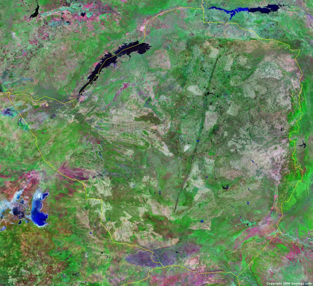
Zimbabwe Map and Satellite Image
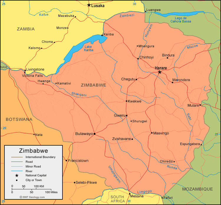
| Zimbabwe is located in southern Africa. Zimbabwe is bordered by Zambia to the north, Botswana to the west, South Africa to the south, and Mozambique to the east. |
ADVERTISEMENT
Zimbabwe Bordering Countries:
Botswana, Mozambique, South Africa, ZambiaRegional Maps:
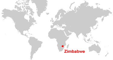
Map of Africa, World MapWhere is Zimbabwe?
Zimbabwe Satellite Image
ADVERTISEMENT

Explore Zimbabwe Using Google Earth:
Google Earth is a free program from Google that allows you to explore satellite images showing the cities and landscapes of Zimbabwe and all of Africa in fantastic detail. It works on your desktop computer, tablet, or mobile phone. The images in many areas are detailed enough that you can see houses, vehicles and even people on a city street. Google Earth is free and easy-to-use.
Zimbabwe on a World Wall Map:
Zimbabwe is one of nearly 200 countries illustrated on our Blue Ocean Laminated Map of the World. This map shows a combination of political and physical features. It includes country boundaries, major cities, major mountains in shaded relief, ocean depth in blue color gradient, along with many other features. This is a great map for students, schools, offices and anywhere that a nice map of the world is needed for education, display or decor.
Zimbabwe On a Large Wall Map of Africa:
If you are interested in Zimbabwe and the geography of Africa our large laminated map of Africa might be just what you need. It is a large political map of Africa that also shows many of the continent's physical features in color or shaded relief. Major lakes, rivers, cities, roads, country boundaries, coastlines and surrounding islands are all shown on the map.Zimbabwe Cities:
Beitbridge, Bindura, Bulawayo, Chegutu, Chinhoyi, Chiredzi, Chitungwiza, Chivhu, Espungabera, Gutu, Gweru, Harare, Hwange, Inyati, Kadoma, Kamativi, Kariba, Kwekwe, Makaha, Marondera, Masvingo, Mhangura, Mphoengs, Mutare, Shurugwi, Tuli, Victoria Falls and Zvishavane.Zimbabwe Locations:
Hunyani River, Lago de Cahora Bassa, Lake Chivero, Lake Kariba, Lake Mutirikwi, Mazoe River, Runde River, Sabi River, Save River, Shangani River, Shashe River, Thuli River, Umzingwani River and Zambezi River.Zimbabwe Natural Resources:
There are numerous metal resources in Zimbabwe, some of which are chromium ore, gold, copper, iron ore, lithium, nickel, tin, vanadium, and platinum group metals. Other natural resources include coal and asbestos.Zimbabwe Natural Hazards:
Floods and severe storms are rare in Zimbabwe, but they do occur. Other natural hazards for this country include recurring droughts.Zimbabwe Environmental Issues:
Zimbabwe has air and water pollution. The poor mining practices have led to heavy metal and toxic waste pollution. Land issues in Zimbabwe include deforestation, land degradation, and soil erosion. The country was once home to the largest black rhinoceros herds in the world; however, the species has been significantly reduced by poaching.
ADVERTISEMENT