Home » US Maps » Oregon » County Map
Oregon County Map with County Seat Cities

ADVERTISEMENT
County Maps for Neighboring States:
California Idaho Nevada Washington


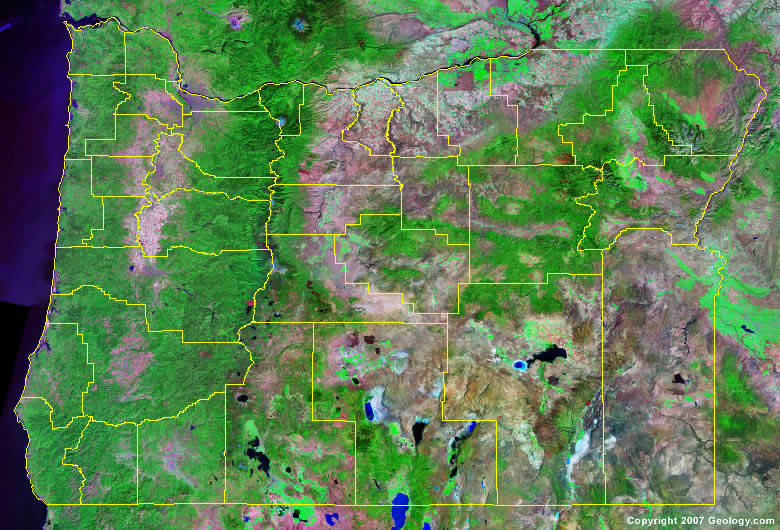
The map above is a Landsat satellite image of Oregon with County boundaries superimposed. We have a more detailed satellite image of Oregon without County boundaries.


ADVERTISEMENT
Oregon Counties and County Seats |
|
|
Baker County - Baker City Benton County - Corvallis Clackamas County - Oregon City Clatsop County - Astoria Columbia County - St. Helens Coos County - Coquille Crook County - Prineville Curry County - Gold Beach Deschutes County - Bend Douglas County - Roseburg Gilliam County - Condon Grant County - Canyon City Harney County - Burns Hood River County - Hood River Jackson County - Medford Jefferson County - Madras Josephine County - Grants Pass Klamath County - Klamath Falls |
Lake County - Lakeview Lane County - Eugene Lincoln County - Newport Linn County - Albany Malheur County - Vale Marion County - Salem Morrow County - Heppner Multnomah County - Portland Polk County - Dallas Sherman County - Moro Tillamook County - Tillamook Umatilla County - Pendleton Union County - La Grande Wallowa County - Enterprise Wasco County - The Dalles Washington County - Hillsboro Wheeler County - Fossil Yamhill County - McMinnville |
