Home » US Maps » Nevada » Lakes and Rivers
Nevada Lakes, Rivers and Water Resources
ADVERTISEMENT
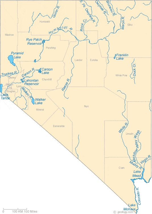
Nevada Rivers Shown on the Map: Bruneau River, Carson River, Colorado River, Duck Creek, Humboldt River, Marys River, Meadow Valley Wash, Muddy River, Owyhee River, Quinn River, Reese River, Rock Creek, South Fork Owyhee River. Truckee River, Virgin River, Walker River and White River.
Nevada Lakes Shown on the Map: Carson Lake, Franklin Lake, Lahontan Reservoir, Lake Mead, Lake Mohave, Lake Tahoe, Pyramid Lake, Rye Patch Reservoir and Walker Lake.
| Nevada Stream and River Levels |
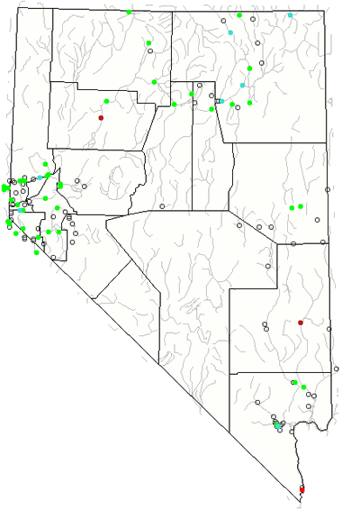 The United States Geological Survey has a number of stream gages located throughout Nevada. These estimate stream levels, discharges and record them over time. This data is published on the web and many stations allow users to plot custom graphs. Get updated Nevada river and stream levels from USGS here.
| Nevada Stream and River Level Alerts |
 The United States Geological Survey has a system that will send you an email message when flood levels are reached on any stream with USGS gaging equipment that you have selected. Sign up here to receive Nevada stream and river level alerts.

| Nevada Drought Map |
 The United States Geological Survey publishes updated drought maps on their website. There you can view a map that shows where below normal 7-day average stream flow conditions were recently recorded. The maps are updated daily. Get a current Nevada drought map here.
| Nevada Water Publications |
 The United States Geological Survey has a number of publications related to water use and water resources in Nevada. Visit the Nevada Water Science Center here.
| Nevada Elevation Map |
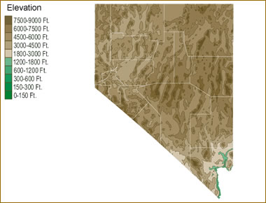 The topography of an area determines the direction of stream flow and often is a primary influence on the geographic distribution of precipitation. View a detailed Nevada elevation map.


Find Other Topics on Geology.com:

|

| ||

|

| ||

|

| ||

|

|