Home » Satellite Images » US States » West Virginia
Satellite Image of West Virginia
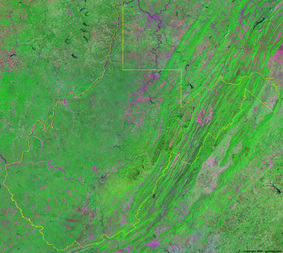
West Virginia Satellite Image - View Cities, Rivers, Lakes & Environment
Satellite Images for Neighboring States:
Kentucky Maryland Ohio Pennsylvania VirginiaThis is a Landsat GeoCover 2000 satellite image map of West Virginia. Cities, rivers, lakes, mountains and other features shown in this image include:
West Virginia Cities:
Beckley, WV
Bluefield, WV
Charleston, WV
Clarksburg, WV
Elkins, WV
Huntington, WV
Martinsburg, WV
Morgantown, WV
Parkersburg, WV
Weirton, WV
Wheeling, WV
West Virginia Rivers, Lakes, Water Features:
Bluestone Lake
Burnsville Lake
Cheat River
Elk River
Greenbrier River
Kanawha River
Monongahela River
Mount Storm Lake
New River
Ohio River
Potomac River
Shenandoah River
Summersville Lake
Sutton Lake
Tugg Fork River
Tygart Lake
Other Prominent West Virginia Features:
Allegheny Mountains
Appalachian Mountains
West Virginia farm land
ADVERTISEMENT
More Satellite Images
 State Satellite Images: Color Landsat views of all 50 states. Spectacular images.
 Use Google Earth for FREE: Browse seamless worldwide satellite images. Free.
 Earth from Space at Night: Composite images show worldwide patterns of night light and heat.
 Oil & Gas Fields from Space at Night: Drill pad lighting and flaring make them stand out at night.
 Country Satellite Images: Satellite images for over 170 countries from Landsat GeoCover data.
  Satellite Views of US Cities: Images of 120 cities and their surrounding environment.
 Land Below Sea Level: The top ten locations where land is below the level of the ocean.
  Satellite Views of 64 World Cities: Spectacular images showing the city and surrounding environment.
Copyright information: The images on this page were composed by Angela King and are copyright by Geology.com. These images are not available for use beyond our websites. If you would like to share them with others, please link to this page. The satellite image was produced using Landsat data from NASA.