Home » Satellite Images » US States » Ohio
Satellite Image of Ohio
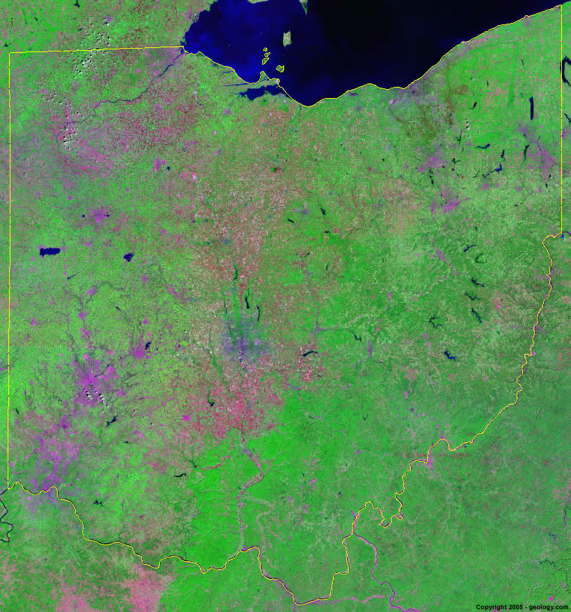
Ohio Satellite Image - View Cities, Rivers, Lakes & Environment
Satellite Images for Neighboring States:
Indiana Kentucky Michigan Pennsylvania West VirginiaThis is a Landsat GeoCover 2000 satellite image map of Ohio. Cities, rivers, lakes, mountains and other features shown in this image include:
Ohio Cities:
Akron, OH
Canton, OH
Cincinnati, OH
Cleveland, OH
Columbus, OH
Dayton, OH
Elyria, OH
Lima, OH
Mansfield, OH
Marion, OH
Middletown, OH
Newark, OH
Springfield, OH
Toledo, OH
Warren, OH
Wooster, OH
Youngstown, OH
Ohio Rivers, Lakes, Water Features:
Atwood Lake
Berlin Lake
Buckeye Lake
Cuyahoga River
Dillon Lake
Grand Lake
Great Miami River
Hoover Reservoir
Indian Lake
Lake Erie
Lake Milton
Leesville Lake
Licking River
M. J. Kirwan Reservoir
Maumee River
Meander Creek Reservoir
Miami River
Mosquito Creek Lake
Muskingum River
Ohio River
Piedmont Lake
Salt Fork Lake
Sandusky River
Scioto River
Seneca Lake
Stillwater River
Tappan Lake
Other Prominent Ohio Features:
Ohio farm land
ADVERTISEMENT
More Satellite Images
 State Satellite Images: Color Landsat views of all 50 states. Spectacular images.
 Use Google Earth for FREE: Browse seamless worldwide satellite images. Free.
 Earth from Space at Night: Composite images show worldwide patterns of night light and heat.
 Oil & Gas Fields from Space at Night: Drill pad lighting and flaring make them stand out at night.
 Country Satellite Images: Satellite images for over 170 countries from Landsat GeoCover data.
  Satellite Views of US Cities: Images of 120 cities and their surrounding environment.
 Land Below Sea Level: The top ten locations where land is below the level of the ocean.
  Satellite Views of 64 World Cities: Spectacular images showing the city and surrounding environment.
Copyright information: The images on this page were composed by Angela King and are copyright by Geology.com. These images are not available for use beyond our websites. If you would like to share them with others, please link to this page. The satellite image was produced using Landsat data from NASA.