Home » World Maps » Asia » Bhutan
Bhutan Map and Satellite Image
| Bhutan is located in southern Asia. Bhutan is bordered by China to the north and India to the east and south. |
ADVERTISEMENT
Bhutan Bordering Countries:
China, IndiaRegional Maps:
Map of Asia, World MapWhere is Bhutan?
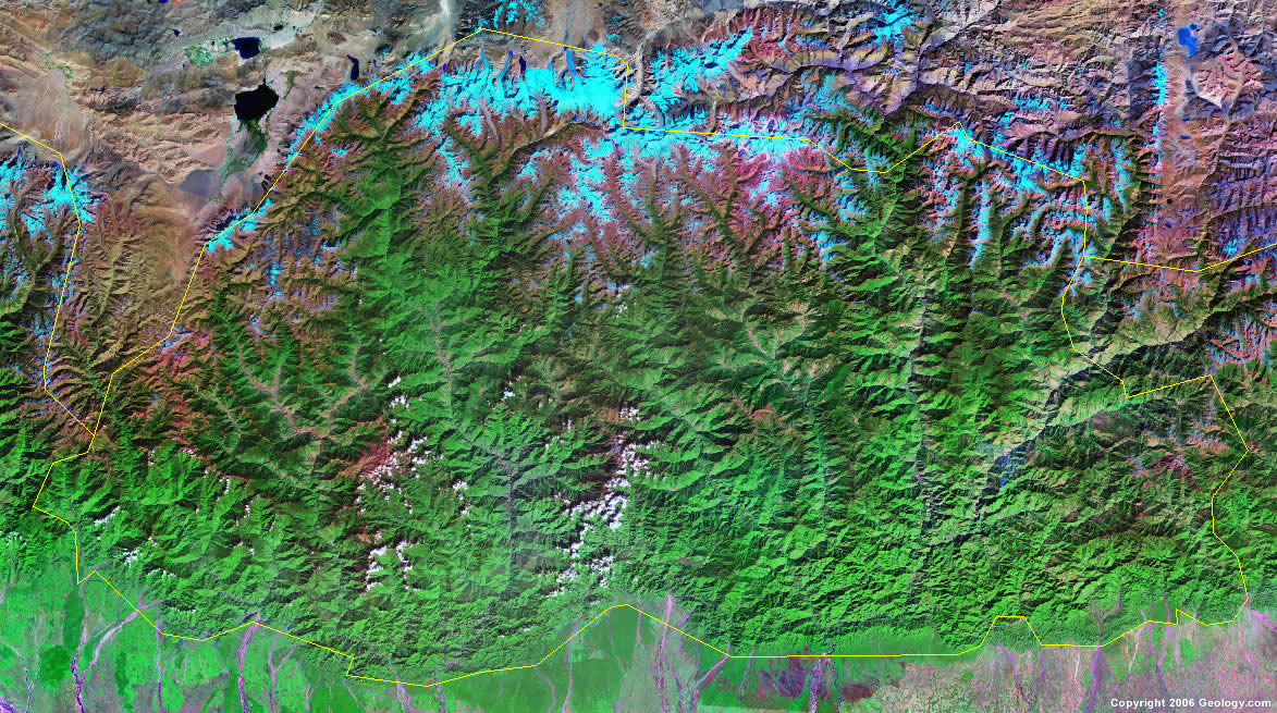
Bhutan Satellite Image
ADVERTISEMENT

Explore Bhutan Using Google Earth:
Google Earth is a free program from Google that allows you to explore satellite images showing the cities and landscapes of Bhutan and all of Asia in fantastic detail. It works on your desktop computer, tablet, or mobile phone. The images in many areas are detailed enough that you can see houses, vehicles and even people on a city street. Google Earth is free and easy-to-use.
Bhutan on a World Wall Map:
Bhutan is one of nearly 200 countries illustrated on our Blue Ocean Laminated Map of the World. This map shows a combination of political and physical features. It includes country boundaries, major cities, major mountains in shaded relief, ocean depth in blue color gradient, along with many other features. This is a great map for students, schools, offices and anywhere that a nice map of the world is needed for education, display or decor.
Bhutan On a Large Wall Map of Asia:
If you are interested in Bhutan and the geography of Asia our large laminated map of Asia might be just what you need. It is a large political map of Asia that also shows many of the continent's physical features in color or shaded relief. Major lakes, rivers, cities, roads, country boundaries, coastlines and surrounding islands are all shown on the map.Bhutan Cities:
Chapcha, Chukha, Daga, Dewangiri, Dzong, Gasa, Geylegphug, Jakar, Mongar, Phuntsholing, Punakha, Shemgang, Singye Dzong, Sombe, Tashigang, Thimphu, Tongsa and Wangdiphodrang.Bhutan Locations:
Himalaya Mountains.Bhutan Natural Resources:
Bhutan's mineral resources include gypsum and calcium carbonate. Other resources include timber and hydropower.Bhutan Natural Hazards:
The violent storms caused by the Himalayas are the basis of the country's name, Bhutan, which translates as Land of the Thunder Dragon. During the rainy season there are frequent landslides.Bhutan Environmental Issues:
The country of Bhutan, between China and India, has environmental issues which include soil erosion and limited access to potable water.
ADVERTISEMENT