Home » World Maps » Europe » Hungary
Hungary Map and Satellite Image
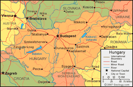
| Hungary is located in central Europe. Hungary is bordered by Slovakia and Ukraine to the north, Romania to the east, Serbia and Croatia to the south, and Slovenia and Austria to the west. |
ADVERTISEMENT
Hungary Bordering Countries:
Austria, Croatia, Romania, Serbia, Slovakia, Slovenia, UkraineRegional Maps:
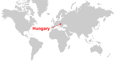
Map of Europe, World MapWhere is Hungary?
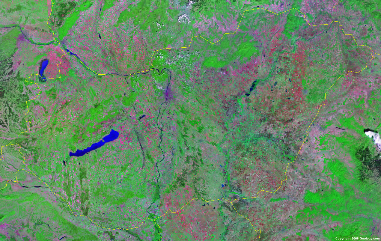
Hungary Satellite Image
ADVERTISEMENT

Explore Hungary Using Google Earth:
Google Earth is a free program from Google that allows you to explore satellite images showing the cities and landscapes of Hungary and all of Europe in fantastic detail. It works on your desktop computer, tablet, or mobile phone. The images in many areas are detailed enough that you can see houses, vehicles and even people on a city street. Google Earth is free and easy-to-use.
Hungary on a World Wall Map:
Hungary is one of nearly 200 countries illustrated on our Blue Ocean Laminated Map of the World. This map shows a combination of political and physical features. It includes country boundaries, major cities, major mountains in shaded relief, ocean depth in blue color gradient, along with many other features. This is a great map for students, schools, offices and anywhere that a nice map of the world is needed for education, display or decor.
Hungary On a Large Wall Map of Europe:
If you are interested in Hungary and the geography of Europe our large laminated map of Europe might be just what you need. It is a large political map of Europe that also shows many of the continent's physical features in color or shaded relief. Major lakes, rivers, cities, roads, country boundaries, coastlines and surrounding islands are all shown on the map.Hungary Cities:
Boglarlelle, Budapest, D Nyiregyhaza, Debrecen, Derecske, Dombovar, Dunaujvaros, Gyor, Kazincbarcika, Kecskemet, Keszthely, Miskolc, Mohacs, Mosonmagyarovar, Nagyatad, Nagykoros, Nyiregyhaza, Pecs, Sarvar, Sopron, Szeged, Szekesfehervar, Szigetvar, Szolnok, Tapolca, Tatabanya and Zalaegerszeg.Hungary Locations:
Balaton, Drava River, Duna (Danube), Kiskoreiviztarolo, Lake Heviz, Neusiedler See, Tisza River, Tisza-to and Velencei To.Hungary Natural Resources:
Hungary has natural resources of fertile soils and arable land. Other resources include the fossil fuels of coal and natural gas, and deposits of bauxite.Hungary Natural Hazards:
The Danube River and Tisza River regularly overflow their banks and flood the surrounding land, especially in spring and winter.Hungary Environmental Issues:
Hungary needs to upgrade their standards to meet the EU requirements in waste management, energy efficiency, and air, soil, and water pollution. This will require large investments for the country.
ADVERTISEMENT