Home » World Maps » Europe » Malta
Malta Map and Satellite Image

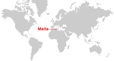
| Malta is a small archipelago in the Mediterranean Sea. It is located south of Italy's island of Sicily. |
ADVERTISEMENT
Malta Bordering Countries:
NoneRegional Maps:
Europe World MapWhere is Malta?
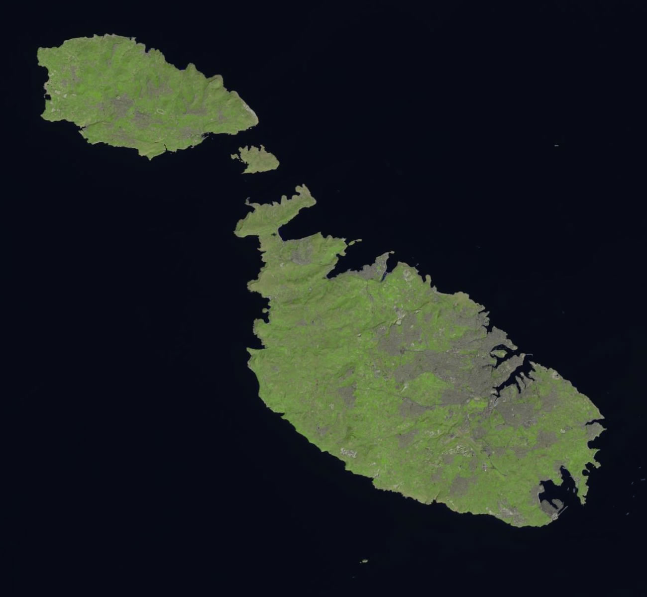
Malta Satellite Image
ADVERTISEMENT

Explore Malta Using Google Earth:
Google Earth is a free program from Google that allows you to explore satellite images showing the cities and landscapes of Malta and all of Europe in fantastic detail. It works on your desktop computer, tablet, or mobile phone. The images in many areas are detailed enough that you can see houses, vehicles and even people on a city street. Google Earth is free and easy-to-use.
Malta on a World Wall Map:
Malta is one of nearly 200 countries illustrated on our Blue Ocean Laminated Map of the World. This map shows a combination of political and physical features. It includes country boundaries, major cities, major mountains in shaded relief, ocean depth in blue color gradient, along with many other features. This is a great map for students, schools, offices and anywhere that a nice map of the world is needed for education, display, or decor.
Malta On a Large Wall Map of Europe:
If you are interested in Malta and the geography of Europe, our large laminated map of Europe might be just what you need. It is a large political map of Europe that also shows many of the continent's physical features in color or shaded relief. Major lakes, rivers, cities, roads, country boundaries, coastlines and surrounding islands are all shown on the map.Malta Cities:
Balzan, Birkirkara, Birzebbuga, Cirkewwa, Cospicua, Dingli, Floriana, Ghajn Tuffieha, Gharb, Gzira, Hamrun, Haz-Zebbug, Iz-Zebbug, Luqa, Marsa, Marsalforn, Marsaskala, Marsaxlokk, Mdina, Mellieha, Mgarr (Gozo), Mgarr (Malta), Mosta, Mqabba, Msida, Nadur, Naxxar, Popeye Village, Qala, Qormi, Qrendi, Rabat, Sannat, Siggiewi, Sliema, St. Julian's, St. Paul's Bay, Tarxien, Valletta, Victoria, Xaghra, Xewkija, Zabbar, Zejtun, Zurrieq.Malta Islands:
Blata tal-Ghallis, Comino (Kemmuna), Cominotto, Filfla, Filfoletta, Gozo (Ghawdex), Malta, Manoel, St. Paul's Islands.Malta Locations:
Grand Harbour, Malta Freeport, Marsamxett Harbour, Mediterranean Sea, Mellieha Bay, North Comino Channel, South Comino Channel, St. Paul's Bay.Malta Natural Resources:
Limestone and salt are two natural resources of Malta. The country also has arable land.Malta Natural Hazards:
Malta's natural hazards include occasional droughts.Malta Environmental Issues:
Natural freshwater resources are limited, and this has caused the island nation to rely more and more on desalination facilities. Deforestation and wildlife preservation are also concerns for Malta.
ADVERTISEMENT