Home » World Maps » Africa » Namibia
Namibia Map and Satellite Image
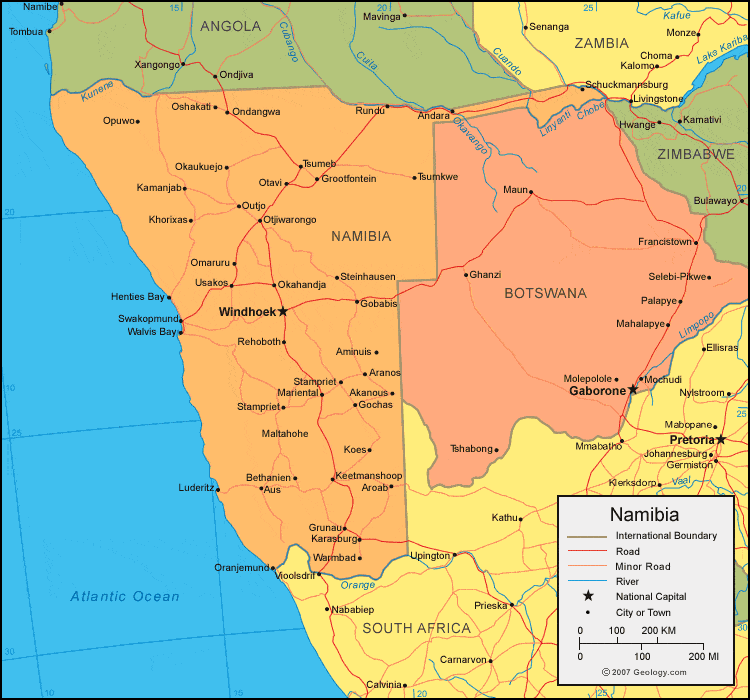
| Namibia is located in southern Africa. Namibia is bordered by the Atlantic Ocean to the west, Angola to the north, Zambia and Botswana to the east, and South Africa to the southeast. |
ADVERTISEMENT
Namibia Bordering Countries:
Angola, Botswana, South Africa, ZambiaRegional Maps:
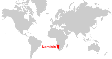
Map of Africa, World MapWhere is Namibia?
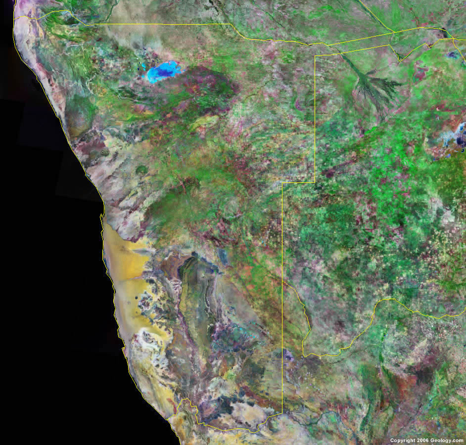
Namibia Satellite Image
ADVERTISEMENT

Explore Namibia Using Google Earth:
Google Earth is a free program from Google that allows you to explore satellite images showing the cities and landscapes of Namibia and all of Africa in fantastic detail. It works on your desktop computer, tablet, or mobile phone. The images in many areas are detailed enough that you can see houses, vehicles and even people on a city street. Google Earth is free and easy-to-use.
Namibia on a World Wall Map:
Namibia is one of nearly 200 countries illustrated on our Blue Ocean Laminated Map of the World. This map shows a combination of political and physical features. It includes country boundaries, major cities, major mountains in shaded relief, ocean depth in blue color gradient, along with many other features. This is a great map for students, schools, offices and anywhere that a nice map of the world is needed for education, display or decor.
Namibia On a Large Wall Map of Africa:
If you are interested in Namibia and the geography of Africa our large laminated map of Africa might be just what you need. It is a large political map of Africa that also shows many of the continent's physical features in color or shaded relief. Major lakes, rivers, cities, roads, country boundaries, coastlines and surrounding islands are all shown on the map.Namibia Cities:
Akanous, Aminuis, Andara, Aranos, Aroab, Asab, Aus, Bergland, Bethanien, Deetmanshoop, Derm, Dordabis, Erundu, Gibeon, Gobabis, Gochas, Grootfontein, Grunau, Henties Bay, Holoog, Kamanjab, Karasburg, Karibib, Keetmanshoop, Khorixas, Koes, Luderitz, Maltahohe, Mariental, Narib, Okahandja, Okaukuejo, Omaruru, Ondangwa, Opuwo, Oranjemund, Oshakati, Otavi, Otjiworongo, Outjo, Rehoboth, Rundu, Schuckmannsburg, Stampriet, Steinhausen, Swakopmund, Tsumeb, Tsumkwe, Usakos, Walvis Bay, Warmbad and Windhoek.Namibia Locations:
Atlantic Ocean, Auas Mountains, Conception Bay, Hottentot Bay, Kunene River, Namib Desert, Orange (Oranje) River and Sandwich Bay.Namibia Natural Resources:
Namibia has metal or metallic resources which include cadmium, copper, gold, lead, lithium, tin, uranium and zinc. Other natural resources for this country include diamonds, fish, salt and hydropower.Namibia Natural Hazards:
One of the natural hazards in Namibia is the prolonged periods of drought.Namibia Environmental Issues:
The country of Namibia has very limited natural fresh water resources. Another environmental issue is land degradation and desertification to the point that there are very few conservation areas left. Namibia also has wildlife poaching.
ADVERTISEMENT