Home » US Maps » Rhode Island » County Map
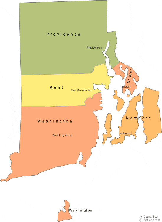
Rhode Island County Map with County Seat Cities
ADVERTISEMENT
County Maps for Neighboring States:
Connecticut Massachusetts


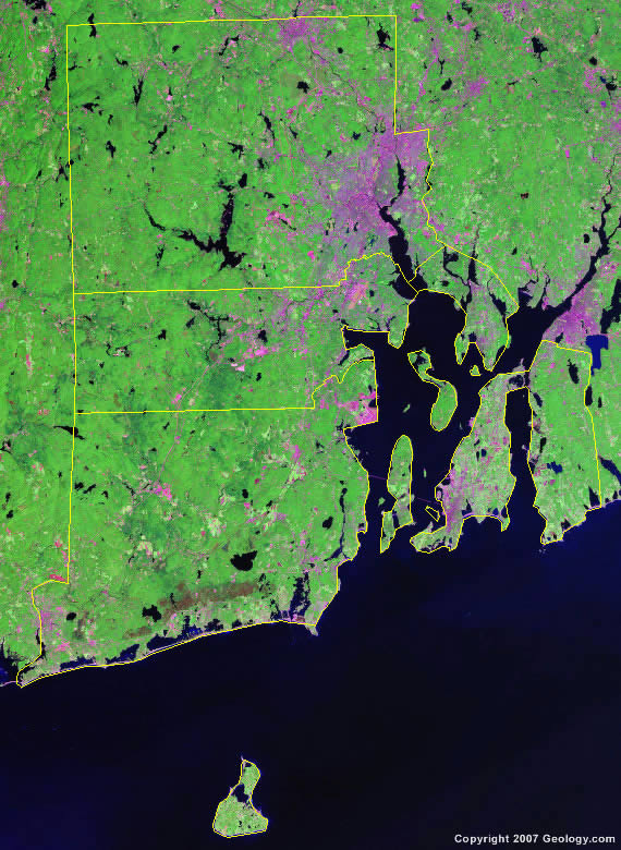
The map above is a Landsat satellite image of Rhode Island with County boundaries superimposed. We have a more detailed satellite image of Rhode Island without County boundaries.


ADVERTISEMENT
Rhode Island Counties and County Seats |
|
|
Bristol County - Bristol Kent County - East Greenwich Newport County - Newport |
Providence County - Providence Washington County - West Kingston |
