Home » US Maps » Massachusetts » County Map
Massachusetts County Map with County Seat Cities

ADVERTISEMENT
County Maps for Neighboring States:
Connecticut New Hampshire New York Rhode Island Vermont


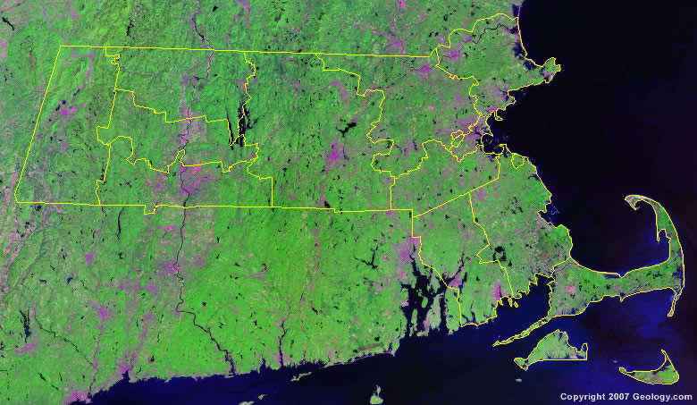
The map above is a Landsat satellite image of Massachusetts with County boundaries superimposed. We have a more detailed satellite image of Massachusetts without County boundaries.


ADVERTISEMENT
Massachusetts Counties and County Seats |
|
|
Barnstable County - Barnstable Berkshire County - Pittsfield Bristol County - Taunton Dukes County - Edgartown Essex County - Salem Franklin County - Greenfield Hampden County - Springfield |
Hampshire County - Northampton Middlesex County - Cambridge Nantucket County - Nantucket Norfolk County - Dedham Plymouth County - Plymouth Suffolk County - Boston Worcester County - Worcester |
