Home » Satellite Images » US States » South Dakota
Satellite Image of South Dakota
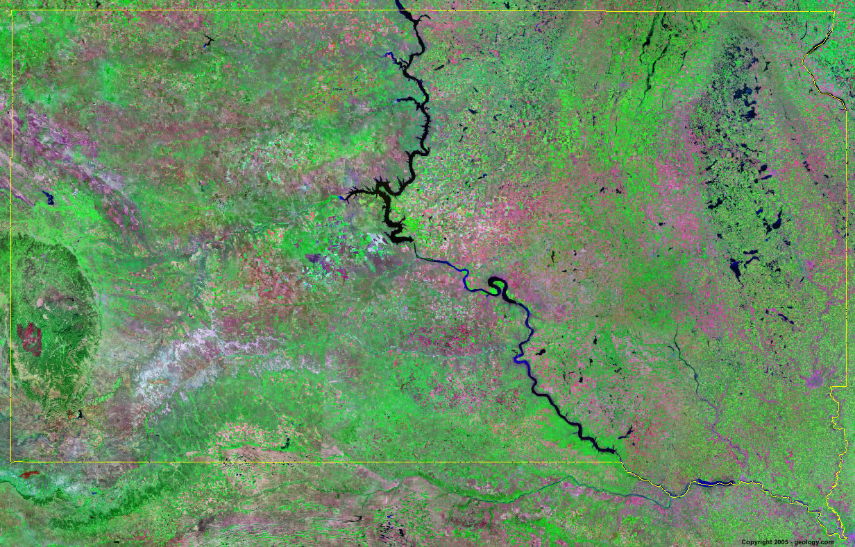
South Dakota Satellite Image - View Cities, Rivers, Lakes & Environment
Satellite Images for Neighboring States:
Iowa Minnesota Montana Nebraska North Dakota WyomingThis is a Landsat GeoCover 2000 satellite image map of South Dakota. Cities, rivers, lakes, mountains and other features shown in this image include:
South Dakota Cities:
Aberdeen, SD
Brookings, SD
Huron, SD
Mitchell, SD
Pierre, SD
Rapid City, SD
Sioux Falls, SD
Sturgis, SD
Watertown, SD
Yankton, SD
South Dakota Rivers, Lakes, Water Features:
Angostura Reservoir
Bad River
Bell Fourche Reservoir
Bitter Lake
Bois de Sioux River
Cheyenne River
Columbia Road Reservoir
Elm Lake
James River
Lacreek Lake
Lake Francis Case
Lake Oahe
Lake Sharpe
Lake Traverse
Lewis and Clark Lake
Missouri River
Ray Lake
Red Lake
Salt Lake
Shadehill Reservoir
Swan Lake
White Lake
White River
Other Prominent South Dakota Features:
Black Hills
South Dakota farm land
ADVERTISEMENT
More Satellite Images
 State Satellite Images: Color Landsat views of all 50 states. Spectacular images.
 Use Google Earth for FREE: Browse seamless worldwide satellite images. Free.
 Earth from Space at Night: Composite images show worldwide patterns of night light and heat.
 Oil & Gas Fields from Space at Night: Drill pad lighting and flaring make them stand out at night.
 Country Satellite Images: Satellite images for over 170 countries from Landsat GeoCover data.
  Satellite Views of US Cities: Images of 120 cities and their surrounding environment.
 Land Below Sea Level: The top ten locations where land is below the level of the ocean.
  Satellite Views of 64 World Cities: Spectacular images showing the city and surrounding environment.
Copyright information: The images on this page were composed by Angela King and are copyright by Geology.com. These images are not available for use beyond our websites. If you would like to share them with others, please link to this page. The satellite image was produced using Landsat data from NASA.