Home » US Maps » Louisiana Maps
Louisiana Map Collection

Louisiana Parish Map:
This map shows Louisiana's 64 parishes. Also available is a detailed Louisiana Parish Map with parish seat cities.
ADVERTISEMENT


Map of Louisiana Cities:
This map shows many of Louisiana's important cities and most important roads. Important north - south routes include: Interstate 49 and Interstate 55. Important east - west routes include: Interstate 10, Interstate 12 and Interstate 20. We also have a more detailed Map of Louisiana Cities.
Louisiana Physical Map:
This Louisiana shaded relief map shows the major physical features of the state. For other nice views of the state, see our Louisiana Satellite image or the Louisiana map by Google.
ADVERTISEMENT

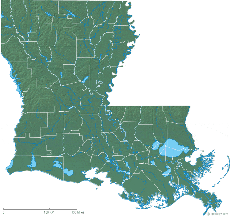
Louisiana Rivers Map:
This map shows the major streams and rivers of Louisiana and some of the larger lakes. Louisiana is within the Gulf of Mexico Watershed. Most drainage leaves the state through the Mississippi River or flows into Lake Pontchartrain or directly into the Gulf of Mexico through smaller streams. Most of these lakes and streams can be clearly seen on the Louisiana Satellite Image. We also have a page about Louisiana water resources.
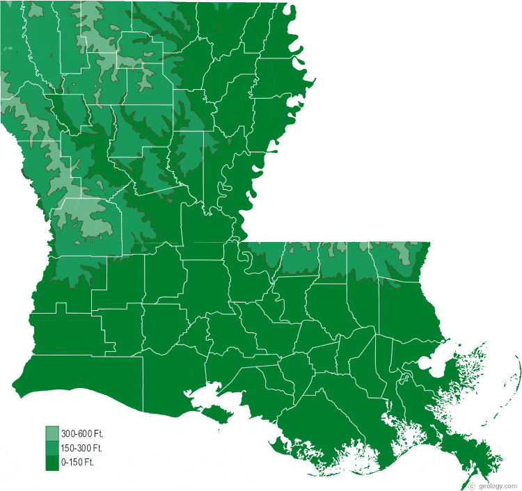
Louisiana Elevation Map:
This is a generalized topographic map of Louisiana. It shows elevation trends across the state. Detailed topographic maps and aerial photos of Louisiana are available in the Geology.com store. See our state high points map to learn about Driskill Mtn. at 535 feet - the highest point in Louisiana. The lowest point is New Orleans at -8 feet.