Home » World Maps » Africa » Chad
Chad Map and Satellite Image
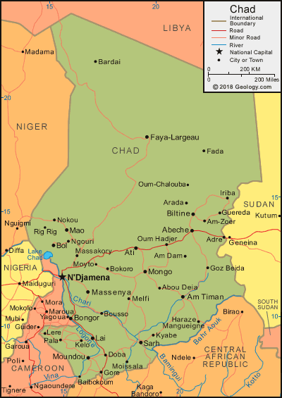
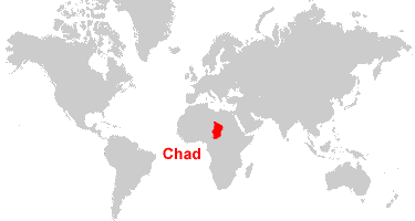
| Chad is located in central Africa. Chad is bordered by Libya to the north, Niger, Nigeria, and Cameroon to the west, the Central African Republic to the south, and Sudan to the east. |
ADVERTISEMENT
Chad Bordering Countries:
Cameroon, Central African Republic, Libya, Niger, Nigeria, SudanRegional Maps:
Map of Africa, World Map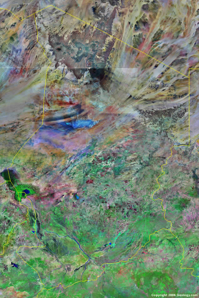
Where is Chad?

Explore Chad Using Google Earth:
Google Earth is a free program from Google that allows you to explore satellite images showing the cities and landscapes of Chad and all of Africa in fantastic detail. It works on your desktop computer, tablet, or mobile phone. The images in many areas are detailed enough that you can see houses, vehicles and even people on a city street. Google Earth is free and easy-to-use.
Chad on a World Wall Map:
Chad is one of nearly 200 countries illustrated on our Blue Ocean Laminated Map of the World. This map shows a combination of political and physical features. It includes country boundaries, major cities, major mountains in shaded relief, ocean depth in blue color gradient, along with many other features. This is a great map for students, schools, offices and anywhere that a nice map of the world is needed for education, display or decor.
Chad On a Large Wall Map of Africa:
If you are interested in Chad and the geography of Africa our large laminated map of Africa might be just what you need. It is a large political map of Africa that also shows many of the continent's physical features in color or shaded relief. Major lakes, rivers, cities, roads, country boundaries, coastlines and surrounding islands are all shown on the map.ADVERTISEMENT
Chad Cities:
Abeche, Abou Deia, Adre, Alma, Am Dam, Am Timan, Am Zoer, Arada, Ati, Bardai, Benoy, Biltine, Bokoro, Bol, Bongor, Bousso, Doba, Fada, Faya Largeau, Gore, Goz Beida, Guereda, Haraze Mangueigne, Iriba, Kelo, Koumra, Kyabe, Lai (Behagle), Lere, Mao, Massakory, Massenya, Melfi, Moissala, Mongo, Moundou, Moyto, N'Djamena, Ngouri, Nokou, Oum Chalauba, Pala, Rig Rig, Sarh and Tapol.Chad Locations:
Bahr Aouk River, Bahr Aoule River, Chari River, Ennedi Mountains, Lac Fitri, Lac Iro, Lake Chad (Lac Tchad), Logone River, Ouadi Howra River and Tibesti Mountains.Chad Natural Resources:
The mineral resources for Chad include uranium, natron, kaolin, salt, gold, limestone, sand and gravel. The fish in Lake Chad is a natural resource. Petroleum is also a resource.Chad Natural Hazards:
The hot, dry, dusty harmattan winds occur in northern portion of Chad. Other natural hazards for this country include periodic droughts, and locust plagues.Chad Environmental Issues:
Some of the environmental issues in rural areas of Chad are improper waste disposal, which contribute to the soil and water pollution. The country also has desertification and inadequate supplies of potable water.
ADVERTISEMENT