Home » World Maps » Africa » Gabon
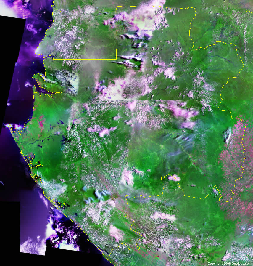
Gabon Map and Satellite Image
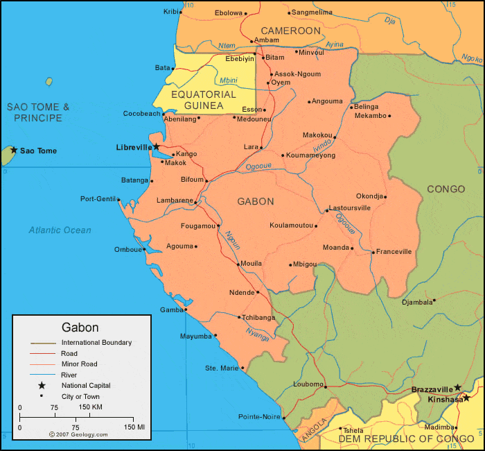
| Gabon is located in western Afirca. Gabon is bordered by the Atlantic Ocean, Equatorial Guinea and Cameroon to the north, and the Republic of the Congo to the east and south. |
ADVERTISEMENT
Gabon Bordering Countries:
Cameroon, Equatorial Guinea, Republic of the CongoRegional Maps:
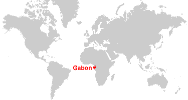
Map of Africa, World MapWhere is Gabon?
Gabon Satellite Image
ADVERTISEMENT

Explore Gabon Using Google Earth:
Google Earth is a free program from Google that allows you to explore satellite images showing the cities and landscapes of Gabon and all of Africa in fantastic detail. It works on your desktop computer, tablet, or mobile phone. The images in many areas are detailed enough that you can see houses, vehicles and even people on a city street. Google Earth is free and easy-to-use.
Gabon on a World Wall Map:
Gabon is one of nearly 200 countries illustrated on our Blue Ocean Laminated Map of the World. This map shows a combination of political and physical features. It includes country boundaries, major cities, major mountains in shaded relief, ocean depth in blue color gradient, along with many other features. This is a great map for students, schools, offices and anywhere that a nice map of the world is needed for education, display or decor.
Gabon On a Large Wall Map of Africa:
If you are interested in Gabon and the geography of Africa our large laminated map of Africa might be just what you need. It is a large political map of Africa that also shows many of the continent's physical features in color or shaded relief. Major lakes, rivers, cities, roads, country boundaries, coastlines and surrounding islands are all shown on the map.Gabon Cities:
Abenilanag, Agouma, Angouma, Assok Ngoum, Batanga, Belinga, Bifoum, Bitam, Bongo, Cocobeach, Esson, Eteke, Fougamou, Franceville, Gamba, Iguela, Kango, Koulamoutou, Loumameyong, Lambarene, Lara, Lastoursville, Lekei, Libreville, Makok, Makokou, Mayumba, Mbigou, Medouneu, Mekambo, Mimongo, Minvoul, Moabi, Moanda, Mouila, Mounana, Ndende, Ndjole, Obili, Okongja, Omboue, Oyem, Port Gentil, Sette Cama, Ste. Marie and Tchibanga.Gabon Locations:
Atlantic Ocea, Ayina River, Baie de Mondah, Djadie River, Golfe d'Olinde, Ivindo River, Lagune Ndogo, Ngoun River, Nyanga River and Ogooue River.Gabon Natural Resources:
The fuel resources of Gabon include petroleum, natural gas, hydropower and uranium. The country's metallic resources consist of niobium, iron ore, manganese and gold. Other important resources include timber and diamonds.Gabon Natural Hazards:
The population of Gabon is concentrated along the Atlantic coastline; rising sea levels threaten these communities by eroding the coastline and contaminating freshwater supplies with saltwater. Additionally, floods and droughts, which negatively affect the country's agriculture, are becoming more frequent and severe.Gabon Environmental Issues:
The country of Gabon, in western Africa, has environmental issues which include deforestation and poaching.
ADVERTISEMENT