Home » World Maps » Africa » Rwanda
Rwanda Map and Satellite Image
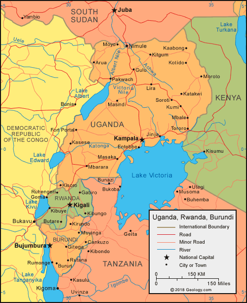
| Rwanda is located in Central Africa. Rwanda is bordered by Uganda to the north, Tanzania to the east, Burundi to the south, and the Democratic Republic of the Congo to the west. |
ADVERTISEMENT
Rwanda Bordering Countries:
Burundi, Democratic Republic of the Congo, Tanzania, UgandaRegional Maps:
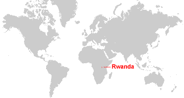
Map of Africa, World MapWhere is Rwanda?
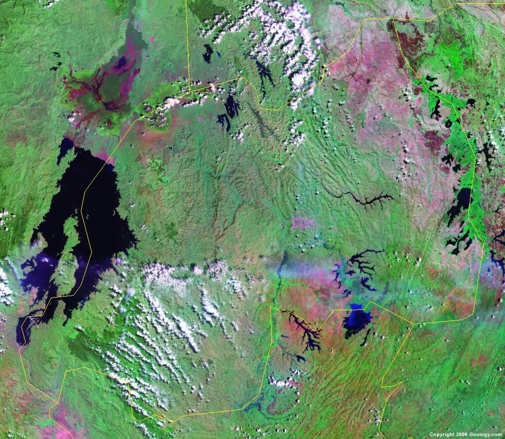
Rwanda Satellite Image
ADVERTISEMENT

Explore Rwanda Using Google Earth:
Google Earth is a free program from Google that allows you to explore satellite images showing the cities and landscapes of Rwanda and all of Africa in fantastic detail. It works on your desktop computer, tablet, or mobile phone. The images in many areas are detailed enough that you can see houses, vehicles and even people on a city street. Google Earth is free and easy-to-use.
Rwanda on a World Wall Map:
Rwanda is one of nearly 200 countries illustrated on our Blue Ocean Laminated Map of the World. This map shows a combination of political and physical features. It includes country boundaries, major cities, major mountains in shaded relief, ocean depth in blue color gradient, along with many other features. This is a great map for students, schools, offices and anywhere that a nice map of the world is needed for education, display or decor.
Rwanda On a Large Wall Map of Africa:
If you are interested in Rwanda and the geography of Africa our large laminated map of Africa might be just what you need. It is a large political map of Africa that also shows many of the continent's physical features in color or shaded relief. Major lakes, rivers,cities, roads, country boundaries, coastlines and surrounding islands are all shown on the map.Rwanda Cities:
Butare, Byumba, Cyanggu, Gabiro, Gikongoro, Gisenyi, Goma, Kibungo, Kibuye, Kigali and Ruhengeri.Rwanda Locations:
Akagera River, Lac Ihema, Lac Rweru, Lake Cyohoa Sud, Lake Kivu, Mwogo River, Nyabarongo River, Rusizi River and Virunga Mountains.Rwanda Natural Resources:
Rwanda has a number of metallic minerals, including gold, cassiterite (a tin ore) and wolframite (a tungsten ore). Other important natural resources for this country are methane, hydropower and arable land.Rwanda Natural Hazards:
Rwanda has natural hazards including some periodic droughts. In addition, the volcanic Virunga Mountains are in the northwest portion of the country, along the border of the Democratic Republic of the Congo.Rwanda Environmental Issues:
The country of Rwanda has environmental issues concerning the land. They include: deforestation, which results from the uncontrolled cutting of trees for fuel; overgrazing; soil erosion; soil exhaustion. There is also a problem with widespread poaching.
ADVERTISEMENT