Home » World Maps » South America » Uruguay
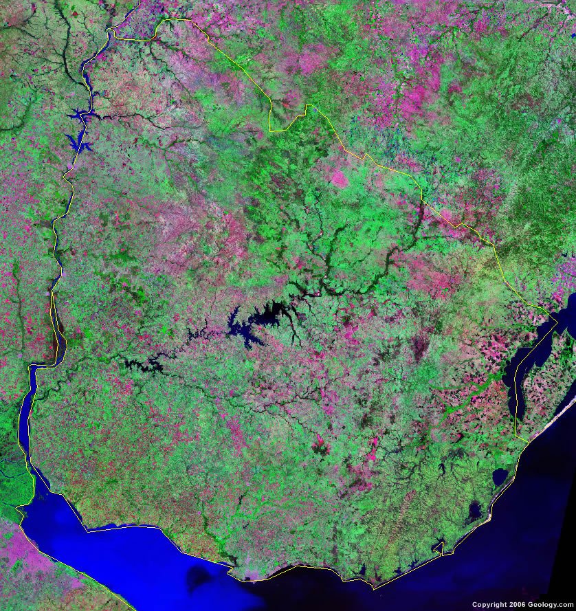
Uruguay Map and Satellite Image
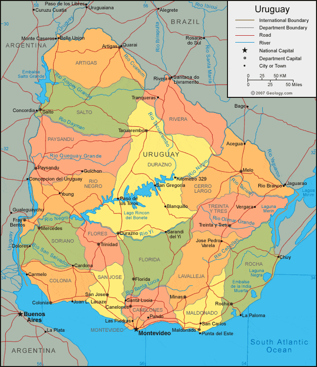
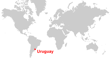
| Uruguay is located in southeastern South America. Uruguay is bordered by the Atlantic Ocean to the south, Argentina to the west, and Brazil to the north. |
ADVERTISEMENT
Uruguay Bordering Countries:
Argentina, BrazilRegional Maps:
Map of South America, World MapWhere is Uruguay?
Uruguay Satellite Image
ADVERTISEMENT

Explore Uruguay Using Google Earth:
Google Earth is a free program from Google that allows you to explore satellite images showing the cities and landscapes of Uruguay and all of South America in fantastic detail. It works on your desktop computer, tablet, or mobile phone. The images in many areas are detailed enough that you can see houses, vehicles and even people on a city street. Google Earth is free and easy-to-use.
Uruguay on a World Wall Map:
Uruguay is one of nearly 200 countries illustrated on our Blue Ocean Laminated Map of the World. This map shows a combination of political and physical features. It includes country boundaries, major cities, major mountains in shaded relief, ocean depth in blue color gradient, along with many other features. This is a great map for students, schools, offices and anywhere that a nice map of the world is needed for education, display or decor.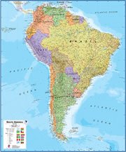
Uruguay On a Large Wall Map of South America:
If you are interested in Uruguay and the geography of South America our large laminated map of South America might be just what you need. It is a large political map of South America that also shows many of the continent's physical features in color or shaded relief. Major lakes, rivers,cities, roads, country boundaries, coastlines and surrounding islands are all shown on the map.Uruguay Cities:
Acegua, Artigas, Canelones, Cardona, Carmelo, Chuy, Colonia, Dolores, Durazno, Florida, Fray Bentos, Guichon, Jose Pedro Varela, Juan L Lacaze, Kilometro 329, La Paloma, Las Piedras, Maldonado, Melo, Mercedes, Minas, Montevideo, Pando, Paso de los Toros, Paysandu, Punta del Este, Rivera, Rocha, Salto, San Carlos, San Gregoria, San Jose de Mayo, Santa Lucia, Sarandi del Yi, Son Jose, Tacuarembo, Tranqueras, Treinta-y-Tres, Trinidad, Vergara and Young.Uruguay Locations:
Atlantic Ocean, Dayman River, Lago Rincon del Bonete, Lagoa Mangueira, Lagoa Mirim, Laguna de Rocha, Laguna Negra, Negro River, Quarai River, Queguay Grande River, Rio Arapey Grande, Rio Cebollati, Rio Cuareim, Rio Dayman, Rio de la Plata, Rio Negro, Rio Queguay Grande, Rio San Salvador, Rio Santa Lucia, Rio Tacuari, Uruguay River, Yaguaron River and Yi River.Uruguay Natural Resources:
Uruguay has a few natural resources, some of which are hydropower, fisheries, arable land and minor minerals.Uruguay Natural Hazards:
Uruguay is particularly vulnerable to rapid changes from weather fronts, due to the absence of mountains, which act as weather barriers. The country experiences seasonally high winds, such as the pampero, which is a chilly and occasional violent wind that blows north from the Argentine pampas. Other natural hazards for Uruguay include floods and droughts.Uruguay Environmental Issues:
The country of Uruguay has inadequate waste disposal for both solid waste and hazardous materials. There is water pollution from the meat packing and tannery industries.
ADVERTISEMENT