Home » US Maps » North Dakota » County Map
North Dakota County Map with County Seat Cities

ADVERTISEMENT
County Maps for Neighboring States:
Minnesota Montana South Dakota
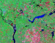


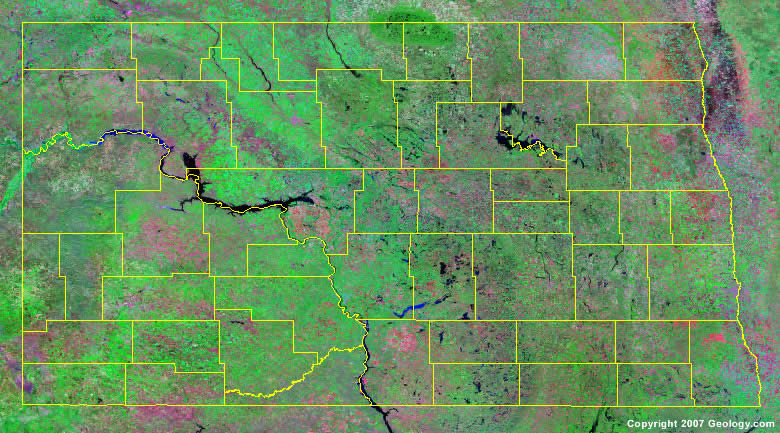
The map above is a Landsat satellite image of North Dakota with County boundaries superimposed. We have a more detailed satellite image of North Dakota without County boundaries.


ADVERTISEMENT
North Dakota Counties and County Seats |
|
|
Adams County - Hettinger Barnes County - Valley City Benson County - Minnewaukan Billings County - Medora Bottineau County - Bottineau Bowman County - Bowman Burke County - Bowbells Burleigh County - Bismarck Cass County - Fargo Cavalier County - Langdon Dickey County - Ellendale Divide County - Crosby Dunn County - Manning Eddy County - New Rockford Emmons County - Linton Foster County - Carrington Golden Valley County - Beach Grand Forks County - Grand Forks Grant County - Carson Griggs County - Cooperstown Hettinger County - Mott Kidder County - Steele La Moure County - La Moure Logan County - Napoleon McHenry County - Towner McIntosh County - Ashley McKenzie County - Watford City |
McLean County - Washburn Mercer County - Stanton Morton County - Mandan Mountrail County - Stanley Nelson County - Lakota Oliver County - Center Pembina County - Cavalier Pierce County - Rugby Ramsey County - Devils Lake Ransom County - Lisbon Renville County - Mohall Richland County - Wahpeton Rolette County - Rolla Sargent County - Forman Sheridan County - McClusky Sioux County - Fort Yates Slope County - Amidon Stark County - Dickinson Steele County - Finley Stutsman County - Jamestown Towner County - Cando Traill County - Hillsboro Walsh County - Grafton Ward County - Minot Wells County - Fessenden Williams County - Williston |
