Home » US Maps » Wyoming » County Map
Wyoming County Map with County Seat Cities

ADVERTISEMENT
County Maps for Neighboring States:
Colorado Idaho Montana Nebraska South Dakota Utah
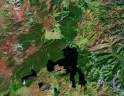


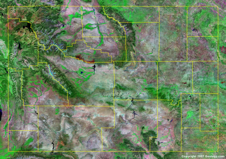
The map above is a Landsat satellite image of Wyoming with County boundaries superimposed. We have a more detailed satellite image of Wyoming without County boundaries.


ADVERTISEMENT
Wyoming Counties and County Seats |
|
|
Albany County - Laramie Big Horn County - Basin Campbell County - Gillette Carbon County - Rawlins Converse County - Douglas Crook County - Sundance Fremont County - Lander Goshen County - Torrington Hot Springs County - Thermopolis Johnson County - Buffalo Laramie County - Cheyenne Lincoln County - Kemmerer |
Natrona County - Casper Niobrara County - Lusk Park County - Cody Platte County - Wheatland Sheridan County - Sheridan Sublette County - Pinedale Sweetwater County - Green River Teton County - Jackson Uinta County - Evanston Washakie County - Worland Weston County - Newcastle |
