Home » World Maps » Africa » Senegal
Senegal Map and Satellite Image
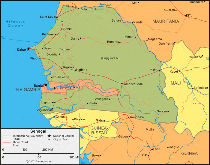
| Senegal is located in western Africa. Senegal is bordered by the Atlantic Ocean to the west, Mauritania to the north, Mali to the east, and Guinea and Guinea-Bissau to the south. Additionally, The Gambia is surrounded by Senegal except for on its western coast. |
ADVERTISEMENT
Senegal Bordering Countries:
The Gambia, Guinea, Guinea-Bissau, Mali, MauritaniaRegional Maps:
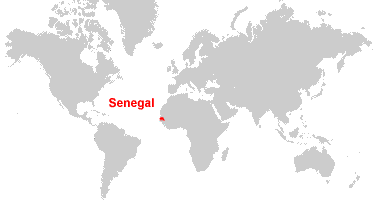
Map of Africa, World MapWhere is Senegal?
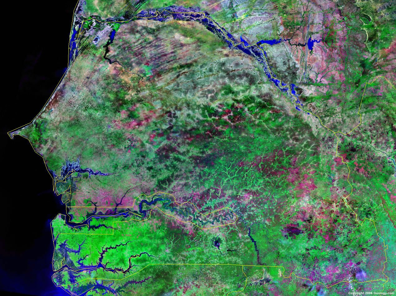
Senegal Satellite Image
ADVERTISEMENT

Explore Senegal Using Google Earth:
Google Earth is a free program from Google that allows you to explore satellite images showing the cities and landscapes of Senegal and all of Africa in fantastic detail. It works on your desktop computer, tablet, or mobile phone. The images in many areas are detailed enough that you can see houses, vehicles and even people on a city street. Google Earth is free and easy-to-use.
Senegal on a World Wall Map:
Senegal is one of nearly 200 countries illustrated on our Blue Ocean Laminated Map of the World. This map shows a combination of political and physical features. It includes country boundaries, major cities, major mountains in shaded relief, ocean depth in blue color gradient, along with many other features. This is a great map for students, schools, offices and anywhere that a nice map of the world is needed for education, display or decor.
Senegal On a Large Wall Map of Africa:
If you are interested in Senegal and the geography of Africa our large laminated map of Africa might be just what you need. It is a large political map of Africa that also shows many of the continent's physical features in color or shaded relief. Major lakes, rivers, cities, roads, country boundaries, coastlines and surrounding islands are all shown on the map.Senegal Cities:
Bakel, Bala, Belingara, Bignona, Dahra, Dakar, Diourbel, Joal, Kaffrine, Kaolack, Kebemer, Kidira, Kolda, Louga, Maka, Makhana, Matam, Mbour, Ndande, Payar, Ranerou, Richard Toll, Rufisque, Saint-Louis, Salde, Saraya, Semme, Tambacounda, Thies, Tiaski, Touba, Toubakouta and Ziguinchor.Senegal Locations:
Atlantic Ocean, Casamance River, Faleme River, Gambia River, Lac de Guiers and Senegal River.Senegal Natural Resources:
The country of Senegal has various natural resources, which include fish, iron ore and phosphates.Senegal Natural Hazards:
The country of Senegal experiences periodic droughts, even though the lowlands are seasonally flooded.Senegal Environmental Issues:
The country of Senegal has deforestation, overgrazing, soil erosion and desertification. Other environmental issues include overfishing and poaching, which threatens the wildlife populations.
ADVERTISEMENT