Home » World Maps » Africa » Guinea
Guinea Map and Satellite Image
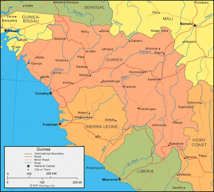
| Guinea is located in western Africa. Guinea is bordered by the Atlantic Ocean and Guinea-Bissau to the west, Senegal and Mali to the north, Cote d'Ivoire (Ivory Coast) to the east, and Liberia and Sierra Leone to the south. |
ADVERTISEMENT
Guinea Bordering Countries:
Cote d'Ivoire, Guinea-Bissau, Liberia, Mali, Senegal, Sierra LeoneRegional Maps:
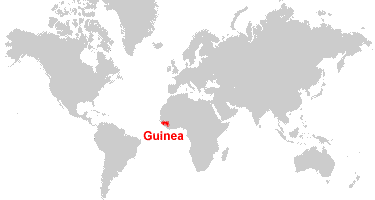
Map of Africa, World MapWhere is Guinea?
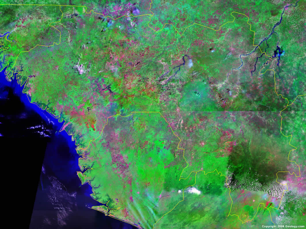
Guinea Satellite Image
ADVERTISEMENT

Explore Guinea Using Google Earth:
Google Earth is a free program from Google that allows you to explore satellite images showing the cities and landscapes of Guinea and all of Africa in fantastic detail. It works on your desktop computer, tablet, or mobile phone. The images in many areas are detailed enough that you can see houses, vehicles and even people on a city street. Google Earth is free and easy-to-use.
Guinea on a World Wall Map:
Guinea is one of nearly 200 countries illustrated on our Blue Ocean Laminated Map of the World. This map shows a combination of political and physical features. It includes country boundaries, major cities, major mountains in shaded relief, ocean depth in blue color gradient, along with many other features. This is a great map for students, schools, offices and anywhere that a nice map of the world is needed for education, display or decor.
Guinea On a Large Wall Map of Africa:
If you are interested in Guinea and the geography of Africa our large laminated map of Africa might be just what you need. It is a large political map of Africa that also shows many of the continent's physical features in color or shaded relief. Major lakes, rivers, cities, roads, country boundaries, coastlines and surrounding islands are all shown on the map.Guinea Cities:
Balaki, Bambafouga, Beyla, Boffa, Boke, Boola, Conakry, Dabatou, Dalaba, Farabana, Faranah, Foye, Fria, Gania, Gaoual, Irie, Kamsar, Kankan, Kindia, Kintinian, Kissidougou, Kouroussa, Labe, Macenta, Mali, Mamou, Niagassola, Nzerekore, Ouassou, Pita, Siguiri, Telimele, Timbo, Togobala, Tougue, Toumania and Victoria.Guinea Locations:
Atlantic Ocean, Baffing River, Gambie River, Konkoure River, Moa River, Niger River, Nimba Mountains, St. Paul River and Tinkisso River.Guinea Natural Resources:
Guinea has major metallic resources, some of which are iron ore, gold, uranium, and large reserves of bauxite. Other important resources for this country include hydropower, diamonds, fish and salt.Guinea Natural Hazards:
Natural hazards for Guinea include the hot, dry, dusty harmattan haze, which is capable of reducing visibility during the dry season.Guinea Environmental Issues:
Environmental issues for Guinea are numerous. These include poor mining practices that have led to environmental damage. In addition the country has: deforestation; erosion; desertification; soil contamination. Guinea has overpopulation in the forest region and inadequate supplies of potable water. The country also has a problem with overfishing.
ADVERTISEMENT