Home » US Maps » Idaho » County Map
Idaho County Map with County Seat Cities

ADVERTISEMENT
County Maps for Neighboring States:
Montana Nevada Oregon Utah Washington Wyoming
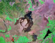


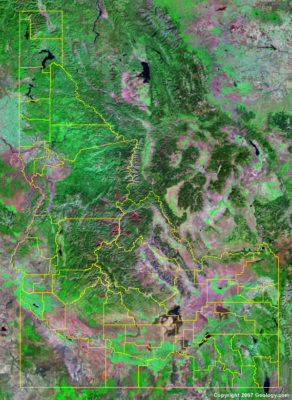
The map above is a Landsat satellite image of Idaho with County boundaries superimposed. We have a more detailed satellite image of Idaho without County boundaries.


ADVERTISEMENT
Idaho Counties and County Seats |
|
|
Ada County - Boise Adams County - Council Bannock County - Pocatello Bear Lake County - Paris Benewah County - St. Maries Bingham County - Blackfoot Blaine County - Hailey Boise County - Idaho City Bonner County - Sandpoint Bonneville County - Idaho Falls Boundary County - Bonners Ferry Butte County - Arco Camas County - Fairfield Canyon County - Caldwell Caribou County - Soda Springs Cassia County - Burley Clark County - Dubois Clearwater County - Orofino Custer County - Challis Elmore County - Mountain Home Franklin County - Preston Fremont County - St. Anthony |
Gem County - Emmett Gooding County - Gooding Idaho County - Grangeville Jefferson County - Rigby Jerome County - Jerome Kootenai County - Coeur d'Alene Latah County - Moscow Lemhi County - Salmon Lewis County - Nezperce Lincoln County - Shoshone Madison County - Rexburg Minidoka County - Rupert Nez Perce County - Lewiston Oneida County - Malad City Owyhee County - Murphy Payette County - Payette Power County - American Falls Shoshone County - Wallace Teton County - Driggs Twin Falls County - Twin Falls Valley County - Cascade Washington County - Weiser |
