Home » Satellite Images » US States » Indiana
Satellite Image of Indiana
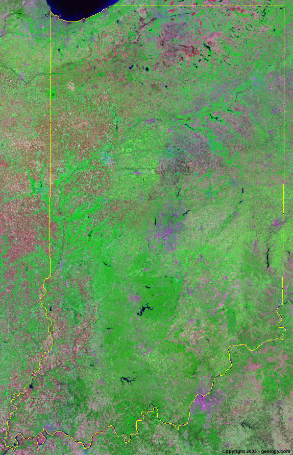
Indiana Satellite Image - View Cities, Rivers, Lakes & Environment
Satellite Images for Neighboring States:
Illinois Kentucky Michigan OhioThis is a Landsat GeoCover 2000 satellite image map of Indiana. Cities, rivers, lakes, mountains and other features shown in this image include:
Indiana Cities:
Bloomington, IN
Columbus, IN
Crawfordsville, IN
Evansville, IN
Fort Wayne, IN
Gary, IN
Indianapolis, IN
Jeffersonville, IN
Kokomo, IN
La Porte, IN
Lafayette, IN
Muncy, IN
South Bend, IN
Terre Haute, IN
Valparaiso, IN
Indiana Rivers, Lakes, Water Features:
Brookville Lake
Cagles Mill Lake
Cedar Lake
Eagle Creek Reservoir
Geist Reservoir
Hamilton Lake
Kankakee River
Lake Freeman
Lake Greenwood
Lake Lemon
Lake Michigan
Lake Wawasee
Mississinewa Lake
Mississinewa River
Monfoe Lake
Morse Reservoir
Ohio River
Patoka Lake
Prairie Creek Reservoir
Salamonie Lake
Salamonie River
Tippecanoe Lake
Tippecanoe River
Turkey LakeTurtle Creek Reservoir
Wabash River
White River
Whitewater River
Winonna Lake
Other Prominent Indiana Features:
Hoosier National Forest
Indiana farm land
ADVERTISEMENT
More Satellite Images
 State Satellite Images: Color Landsat views of all 50 states. Spectacular images.
 Use Google Earth for FREE: Browse seamless worldwide satellite images. Free.
 Earth from Space at Night: Composite images show worldwide patterns of night light and heat.
 Oil & Gas Fields from Space at Night: Drill pad lighting and flaring make them stand out at night.
 Country Satellite Images: Satellite images for over 170 countries from Landsat GeoCover data.
  Satellite Views of US Cities: Images of 120 cities and their surrounding environment.
 Land Below Sea Level: The top ten locations where land is below the level of the ocean.
  Satellite Views of 64 World Cities: Spectacular images showing the city and surrounding environment.
Copyright information: The images on this page were composed by Angela King and are copyright by Geology.com. These images are not available for use beyond our websites. If you would like to share them with others, please link to this page. The satellite image was produced using Landsat data from NASA.