
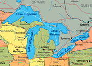
Political Map of the Great Lakes Region showing the U.S. states and Canadian provinces that border the lakes. The international boundary between the United States and Canada is also shown on the map - note how it crosses the lakes.

The names of the five Great Lakes are Huron, Ontario, Michigan, Erie, and Superior. To easily remember their names, think of the word HOMES - it is made up of the first letter of each lake.
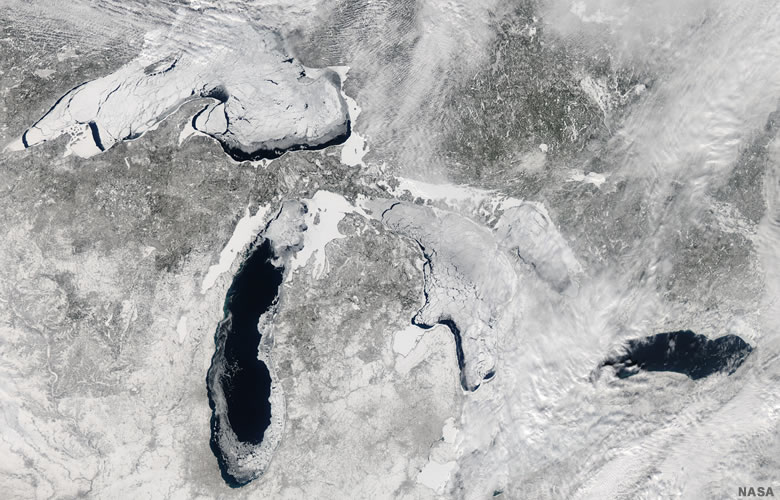
Winter Satellite Image of the Great Lakes Region showing the lakes with significant ice cover. The Great Lakes are far enough north that the lakes' surfaces often have partial ice cover. Occasionally the ice cover is be extensive enough or thick enough to interfere with commercial shipping. This image was capture on February 21, 2014 by NASA's Aqua satellite.
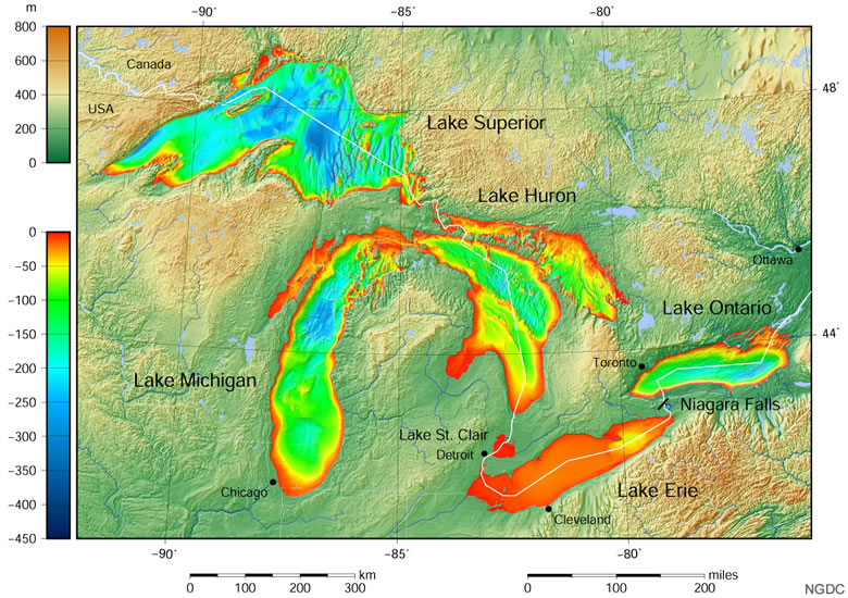
Great Lakes Bathymetry Map showing water depths in the Great Lakes. The lakes vary greatly in depth. Much of Lake Erie is less than 50 feet deep, while large areas in Lake Superior are hundreds of feet deep. The map was prepared by the National Geophysical Data Center in 1999.
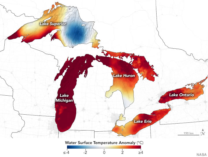
The Great Lakes Are Warming and set numerous surface water temperature records during the summer of 2020. As usual, the deepest parts of Lake Superior had the lowest surface water temperatures. This map was prepared by NASA in 2020 using data from the Aqua satellite.
What are the Great Lakes?
The Great Lakes of North America are a group of five freshwater lakes that straddle the boundary between the United States and Canada. If you look at the political map on this page, you will see that much of the international boundary between the two countries passes over the waters of the lakes.
Here are some important geographic facts about the Great Lakes:
 Lake Superior is the world's largest freshwater lake - it has a surface area of 32,700 square miles (82,100 square kilometers). [1] The Great Lakes contain about 21% of the world's fresh surface water and about 84% of the United States' fresh surface water - about 5,439 cubic miles (22,684 cubic kilometers) measured at low water level. [1] The Great Lakes are interconnected by straits, canals, locks, and rivers. Large ships can transport cargo through the Great Lakes and into the Atlantic Ocean by way of the Saint Lawrence Seaway. Billions of dollars worth of fuel, construction materials, agricultural products, manufactured goods, and raw materials are transported to ports on the Great Lakes every day. Water in the Great Lakes flows from Lake Superior and Lake Michigan, into Lake Huron, into Lake Erie, into Lake Ontario, and into the Atlantic Ocean through the Saint Lawrence River. There are about 35,000 islands in the Great Lakes, many of which are inhabited. People travel between the island and the mainland by ferries, boats and bridges. The Canadian province of Ontario and eight U.S. states (Illinois, Indiana, Michigan, Minnesota, New York, Ohio, Pennsylvania, and Wisconsin) have shorelines on the lakes. All of the lakes except Erie are deep enough that their bottoms are below sea level. The shape, location and depth of the lakes were mainly determined by repeated episodes of glacial erosion during the Great Ice Age. The Great Lakes contain enough water to flood the rest of the United States to a depth of five feet.
| Great Lakes Information |
|
[1] Physical Features of the Great Lakes: Tabulation of data on the website of the United States Environmental Protection Agency, accessed September 2020.
|
| More Maps |
 |
Gifts That Rock |
 |
Great Lakes |
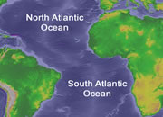 |
Map of the Oceans |
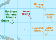 |
U.S. Territories |
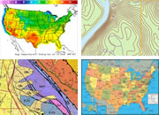 |
Types of Maps |
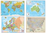 |
Wall Maps |
 |
Map of the Ten Largest Deserts |
 |
What Is An Archipelago? |

Find Other Topics on Geology.com:

|

| ||

|

| ||

|

| ||

|

|