Home » World Maps » CIA World Map
CIA World Map - Political
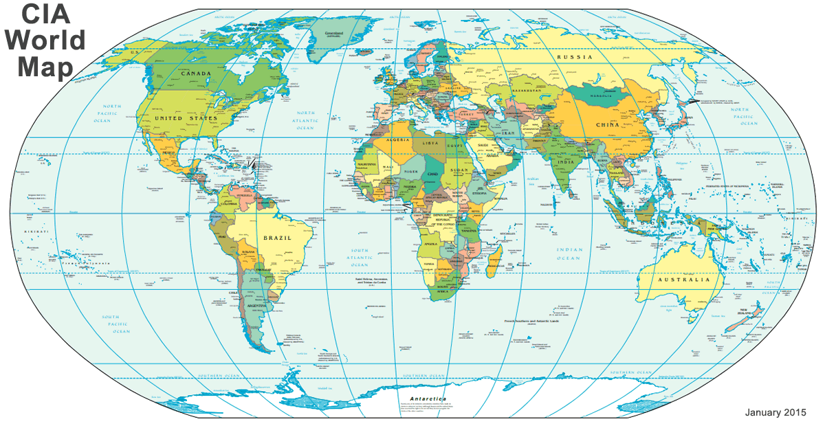
| The world map above was published by the United States Central Intelligence Agency in January 2015 for use by government officials. It has also become a very popular map in academia, business, and with the general public. The CIA updates this world map on a regular basis - any time countries change their names, change their boundaries, divide or start anew. This version of the map includes the division of Sudan into Sudan and South Sudan. A June 2019 version of this map is shown below. See this map in greater detail by viewing it as a .pdf document. Note: The .pdf map is nearly 2 megabytes in file size and is best viewed on a desktop computer. It will take a couple minutes to download and a few moments to refresh when you change your view. |
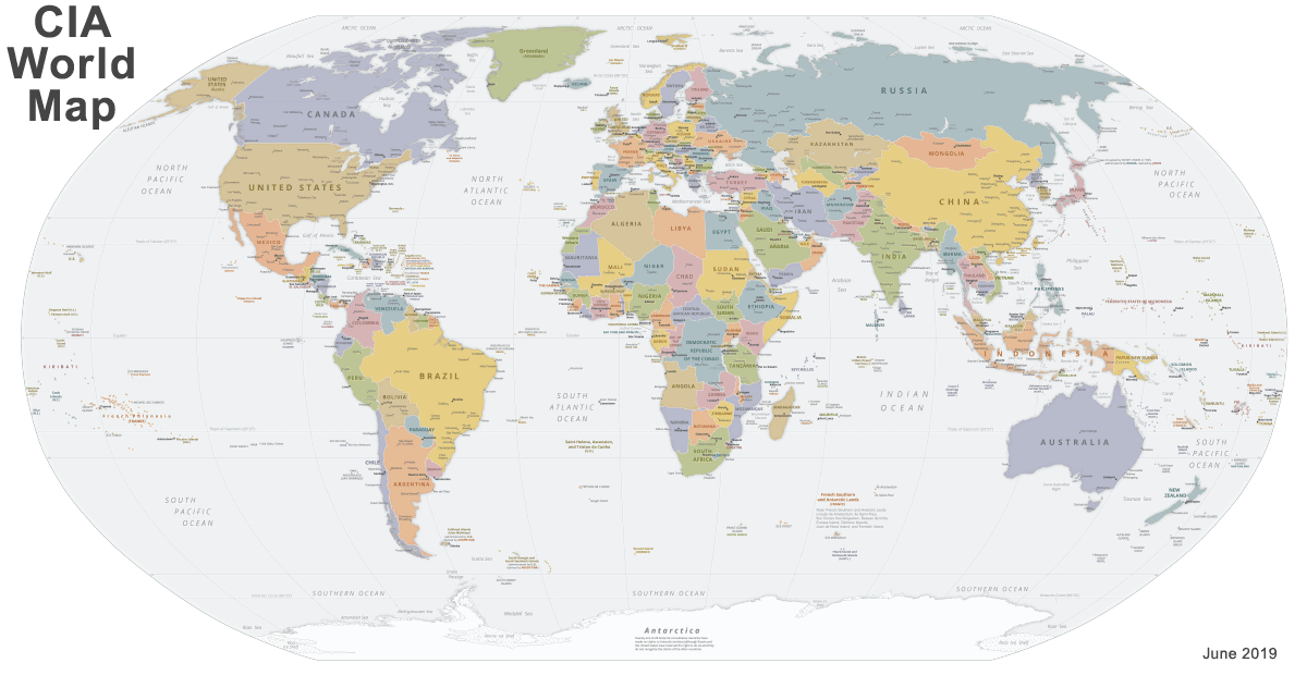
| The world map above was published by the United States Central Intelligence Agency in June 2019 for use by government officials. It has become a very popular map in academia, business, and with the general public. This version of the map is a revision of the map at the top of this page to change the name of Swaziland to eSwatini. The CIA revises their world maps to reflect country name changes, geographic boundary changes, country divisions, and the formation of new independent states. View a higher resolution version of this map as a .pdf document. Note: The .pdf document is over 8 megabytes in file size. It is best viewed on a desktop computer to avoid consuming the data of your mobile phone plan. The .pdf document is also slower to navigate and will take a few moments to refresh when you zoom or pan. |
CIA World Maps:
The large maps on this page are political maps of the world published by the United States Central Intelligence Agency, better known as the CIA. The top map was created in January 2015, and the map beneath it was created in June 2019. Both maps were produced using a Robinson Projection with standard parallels at 38 degrees north and 38 degrees south.The CIA is an official publisher of maps for the United States government. Their maps are considered by many to be a reference for the countries of the world, their geographic boundaries, and their names, as officially recognized by the United States government. Maps of the CIA were initially developed for use by government officials and employees. However, they have become an important source of geographic information in academia, business, news media, and the general public.
A wall map version of each map above was published on paper by the United States Government Printing Office (GPO) at a scale of 1:35,000,000. These wall maps were folded and accompanied the CIA World Factbook when purchased directly from GPO. Available in digital format are .pdf files of the maps [January 2015 and June 2019]. These are very large files and may require some time to download, and they are best used on desktop computers where they will not consume the bandwidth of your mobile phone plan. The .pdf maps are of sufficient detail that a user can zoom in for a much closer look than what can be seen in the images above.
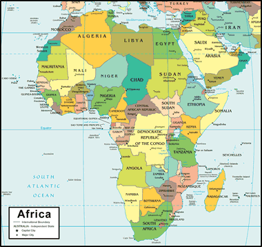
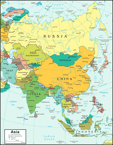


Geology.com World Map
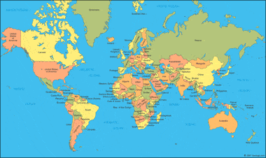
A large colorful map of the world. You can click on a country to see a more detailed map of that country.
CIA Time Zone Map of the World
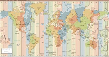 The United States Central Intelligence Agency standard time zone map of the world in .pdf format. Easy-to-read. Get the CIA World Time Zone Map.
World Country Outline Maps
 Zoomable .pdf maps of the world showing the outlines of major countries. Get a world outline map.

ADVERTISEMENT