Home » World Maps » Australia » New Caledonia
New Caledonia Map and Satellite Image
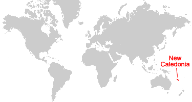
| New Caledonia is a group of islands located in the South Pacific Ocean. New Caledonia is east of Australia and southeast of Papua New Guinea.
The islands have been governed by France since 1853. In 1998 the Noumea Accord was signed, giving New Caledonia gradually increasing governing responsibility. On November 4, 2018, an independence referendum was held to decide if New Caledonia would become its own independent country. Fifty-six percent of the people voted to remain part of France. Another referendum was held on October 4, 2020, in which fifty-three percent of people voted to remain part of France. A third and final referendum was held on December 12, 2021, and ninety-six percent of people who voted chose to remain with the French Republic; however, this vote was boycotted by much of the indigenous Kanak population. Protests and civil unrest occurred in April and May of 2024 after the French government proposed constitutional amendmends concerning voter reform. The reforms, if enacted, would effectively dilute the voting power of the indigenous Kanak people. This matter has not yet been settled. The next provincial election is scheduled to take place on December 15, 2024, and the political status of the islands has yet to be determined. |
ADVERTISEMENT
New Caledonia Neighboring Countries:
Vanuatu, Australia, Fiji, Tonga, Tuvalu, Solomon Islands, New ZealandRegional Maps:
Map of Papua New Guinea, Map of the Oceans, Map of the WorldWhere is New Caledonia?
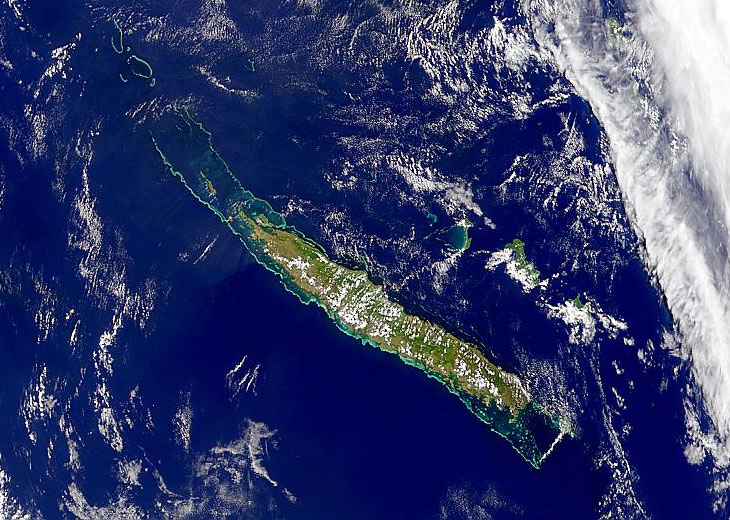
New Caledonia Satellite Image
In the News:
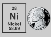
New Caledonia is one of the world's leading sources of nickel - a rare metal that is suddenly in demand to produce electric vehicle batteries. Tesla, the world's largest manufacturer of electric vehicles, is working to position itself as a recipient of New Caledonia's nickel production and to help the mining and refining to be done with minimal impact upon the environment.ADVERTISEMENT

Explore New Caledonia Using Google Earth:
Google Earth is a free program from Google that allows you to explore satellite images showing the cities and landscapes of New Caledonia and all of Oceania in fantastic detail. It works on your desktop computer, tablet, or mobile phone. The images in many areas are detailed enough that you can see houses, vehicles and even people on a city street. Google Earth is free and easy-to-use.
New Caledonia on a World Wall Map:
New Caledonia is included on our Blue Ocean Laminated Map of the World. This map shows a combination of political and physical features. It includes country boundaries, major cities, major mountains in shaded relief, ocean depth in blue color gradient, along with many other features. This is a great map for students, schools, offices and anywhere that a nice map of the world is needed for education, display or decor.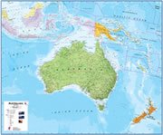
New Caledonia On a Large Wall Map of Australia:
If you are interested in New Caledonia and the geography of Australia, our large laminated map of Australia might be just what you need. It is a large political map of Australia that also shows many of the continent's physical features in color or shaded relief. Major lakes, rivers, cities, roads, country boundaries, coastlines and surrounding islands are all shown on the map.New Caledonia Cities:
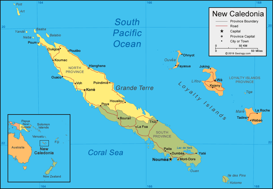
Poum, Koumac, Ouegoa, Ouaco, Pouebo, Voh, Kone, Hienghene, Poya, Poindimie, Bourail, Houailou, La Foa, Thio, Paita, Dumbea, Noumea, Mont-Dore, Yate, Fayaoue, Ohnyot, Joking, Kejeny, We, Tadine, Wabao, La Roche.New Caledonia Provinces:
North Province (Province Nord), South Province (Province Sud), Loyalty Islands Province (Province des iles Loyaute).New Caledonia Named Islands:
Pott, Art, Yande, Neba, Baaba, Balabio, Grande Terre, Ouen, Ile des Pins, Kotomo, Ouvea, Lifou, Tiga, Mare.New Caledonia Locations:
South Pacific Ocean, Coral Sea, Lac de Yate.New Caledonia Natural Resources:
A substantial amount of the planet's nickel resources are located in New Caledonia, and exports include ferronickels and nickel ore. Other metal resources include chrome, cobalt, copper, gold, iron, lead, manganese, and silver.New Caledonia Natural Hazards:
Cyclones can affect the islands, particularly between November and March.New Caledonia Environmental Issues:
Mining and forest fires have caused erosion problems in New Caledonia.
ADVERTISEMENT