Home » World Maps » Australia » Solomon Islands
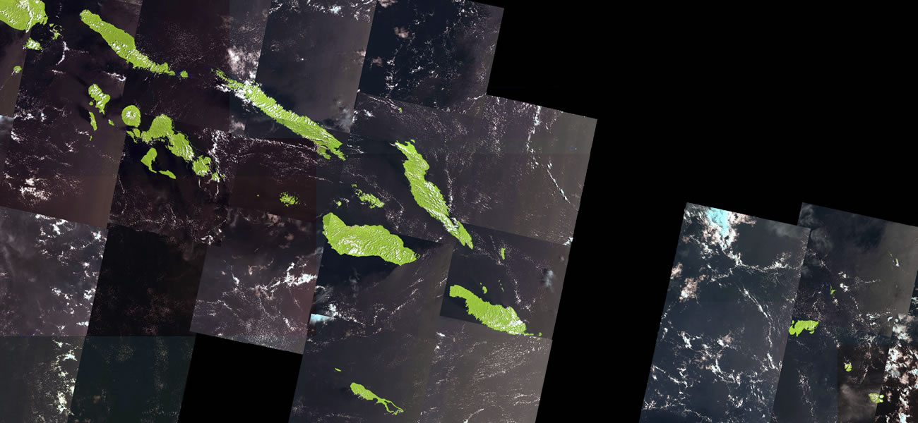
Solomon Islands Map and Satellite Image
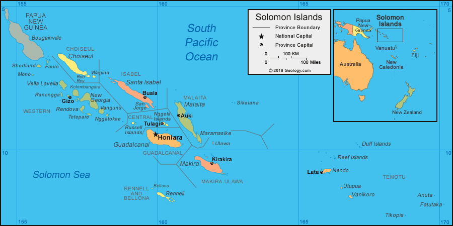
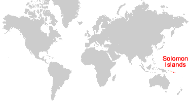
| The Solomon Islands are an archipelago located in the South Pacific Ocean. The Solomon Islands are east of Papua New Guinea and northeast of Australia. |
ADVERTISEMENT
Solomon Islands Neighboring Island Groups:
Bougainville, Vanuatu, New Caledonia, Nauru, Tuvalu, FijiRegional Maps:
Map of Papua New Guinea, Map of Australia, Map of New Zealand, Map of the Oceans, Map of the WorldWhere are the Solomon Islands?
Solomon Islands Satellite Image
ADVERTISEMENT

Explore the Solomon Islands Using Google Earth:
Google Earth is a free program from Google that allows you to explore satellite images showing the cities and landscapes of the Solomon Islands and all of Oceania in fantastic detail. It works on your desktop computer, tablet, or mobile phone. The images in many areas are detailed enough that you can see houses, vehicles and even people on a city street. Google Earth is free and easy-to-use.
Solomon Islands on a World Wall Map:
The Solomon Islands are one of nearly 200 countries illustrated on our Blue Ocean Laminated Map of the World. This map shows a combination of political and physical features. It includes country boundaries, major cities, major mountains in shaded relief, ocean depth in blue color gradient, along with many other features. This is a great map for students, schools, offices and anywhere that a nice map of the world is needed for education, display or decor.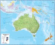
Solomon Islands On a Large Wall Map of Australia:
If you are interested in the Solomon Islands and the geography of Australia, our large laminated map of Australia might be just what you need. It is a large political map of Australia that also shows many of the continent's physical features in color or shaded relief. Major lakes, rivers, cities, roads, country boundaries, coastlines and surrounding islands are all shown on the map.Solomon Islands Cities:
Auki, Buala, Gizo, Honiara, Kirakira, Lata, Tulagi.Solomon Islands Provinces:
Western Province, Choiseul Province, Isabel Province, Central Province, Guadalcanal Province, Rennell and Bellona Province, Malaita Province, Makira-Ulawa Province, and Temotu Province. Honiara is a Capital Territory that is administered separately from Guadalcanal Province; however, Honiara remains the capital of the province and the country.Solomon Islands Named Islands:
Mono, Shortland, Fauro, Choiseul, Vella Lavella, Ranongga, Kolombangara, Rob Roy, Wagina, Rendova, Tetepare, New Georgia, Vangunu, Nggatokae, Santa Isabel, San Jorge, Russell Islands, Guadalcanal, Bellona, Rennell, Nggela Islands, Malaita, Maramasike, Ulawa, Makira, Sikaiana, Nendo, Reef Islands, Duff Islands, Utupua, Vanikoro, Tikopia, Anuta, Fatutaka.Solomon Islands Locations:
South Pacific Ocean, Solomon Sea.Solomon Islands Natural Resources:
Metal resources include gold, lead, nickel, and zinc. Other resources include bauxite and phosphates.Solomon Islands Natural Hazards:
The Solomon Islands experience tropical cyclones, earthquakes, and tsunamis. There is frequent eruption activity at Tinakula volcano.Solomon Islands Environmental Issues:
The environmental issues of the Solomon Islands include deforestation and soil erosion. Many coral reefs in the area are dying or dead.
ADVERTISEMENT