Home » US Maps » South Dakota » County Map
South Dakota County Map with County Seat Cities

ADVERTISEMENT
County Maps for Neighboring States:
Iowa Minnesota Montana Nebraska North Dakota Wyoming
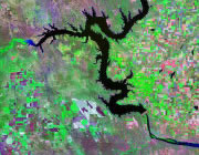


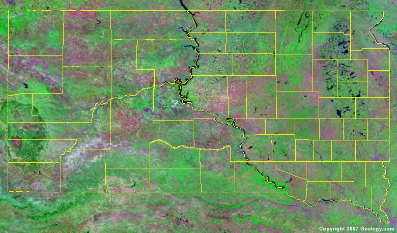
The map above is a Landsat satellite image of South Dakota with County boundaries superimposed. We have a more detailed satellite image of South Dakota without County boundaries.


ADVERTISEMENT
South Dakota Counties and County Seats |
|
|
Aurora County - Plankinton Beadle County - Huron Bennett County - Martin Bon Homme County - Tyndall Brookings County - Brookings Brown County - Aberdeen Brule County - Chamberlain Buffalo County - Gann Valley Butte County - Belle Fourche Campbell County - Mound City Charles Mix County - Lake Andes Clark County - Clark Clay County - Vermillion Codington County - Watertown Corson County - McIntosh Custer County - Custer Davison County - Mitchell Day County - Webster Deuel County - Clear Lake Dewey County - Timber Lake Douglas County - Armour Edmunds County - Ipswich Fall River County - Hot Springs Faulk County - Faulkton Grant County - Milbank Gregory County - Burke Haakon County - Philip Hamlin County - Hayti Hand County - Miller Hanson County - Alexandria Harding County - Buffalo Hughes County - Pierre Hutchinson County - Olivet |
Hyde County - Highmore Jackson County - Kadoka Jerauld County - Wessington Springs Jones County - Murdo Kingsbury County - De Smet Lake County - Madison Lawrence County - Deadwood Lincoln County - Canton Lyman County - Kennebec Marshall County - Britton McCook County - Salem McPherson County - Leola Meade County - Sturgis Mellette County - White River Miner County - Howard Minnehaha County - Sioux Falls Moody County - Flandreau Pennington County - Rapid City Perkins County - Bison Potter County - Gettysburg Roberts County - Sisseton Sanborn County - Woonsocket Shannon County - Hot Springs Spink County - Redfield Stanley County - Fort Pierre Sully County - Onida Todd County - Winner Tripp County - Winner Turner County - Parker Union County - Elk Point Walworth County - Selby Yankton County - Yankton Ziebach County - Dupree |
