|
Advertising
Categories
From Our Store
Map Collections
|
Home » Satellite Images » US Cities
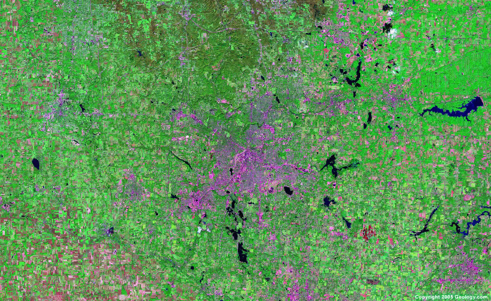
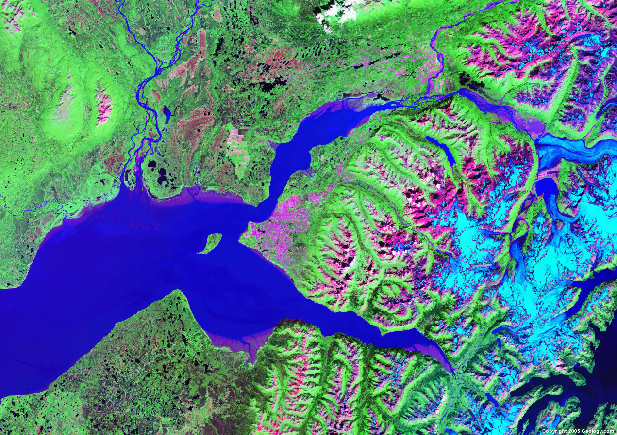
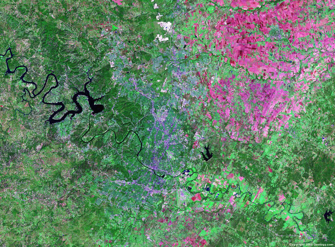
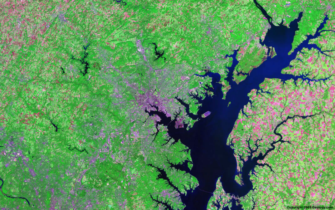
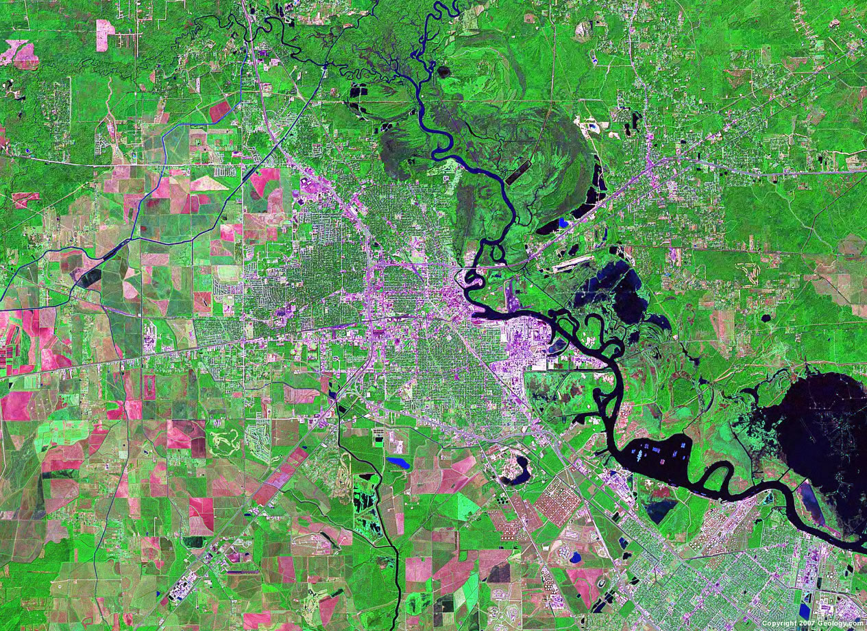
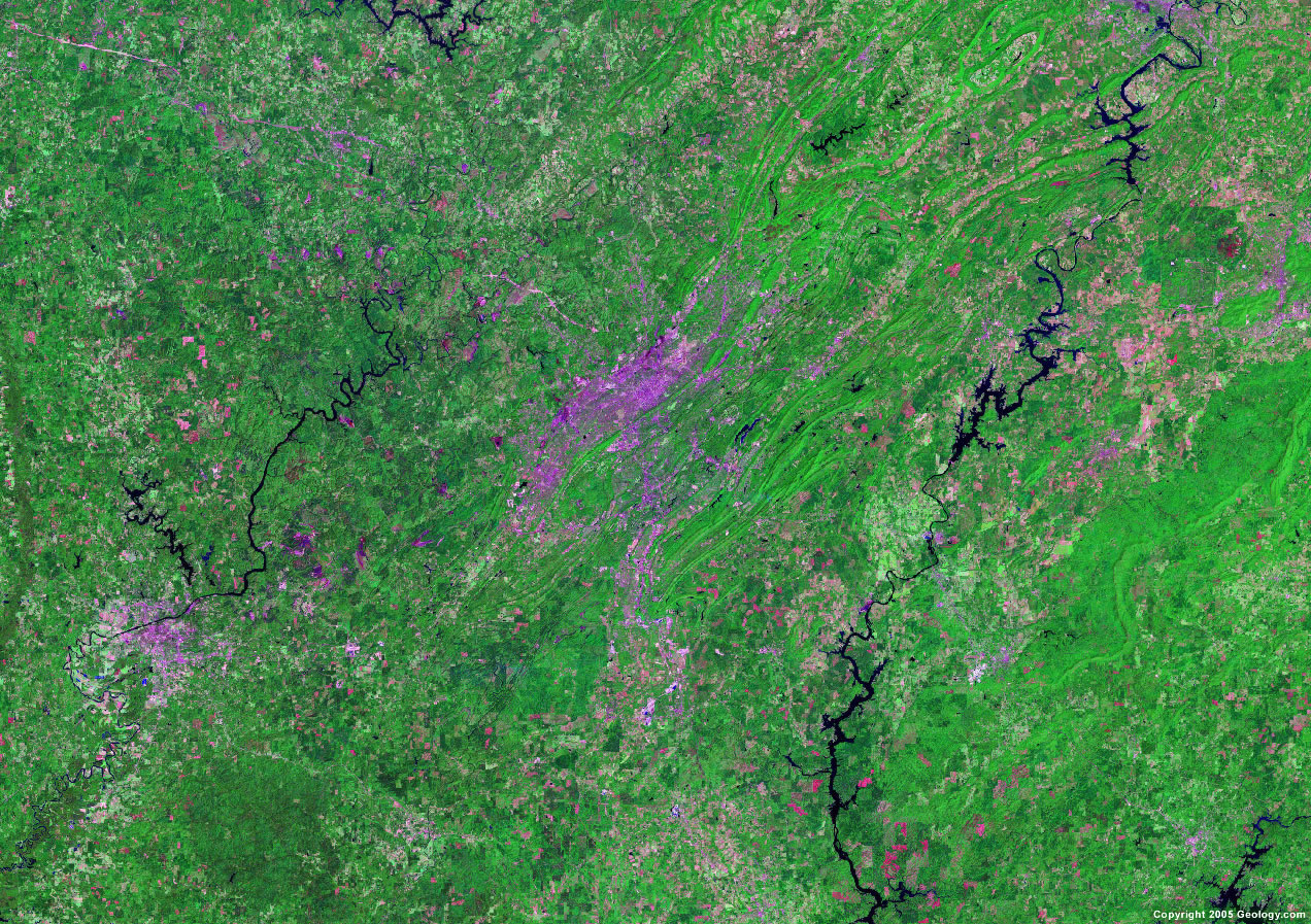
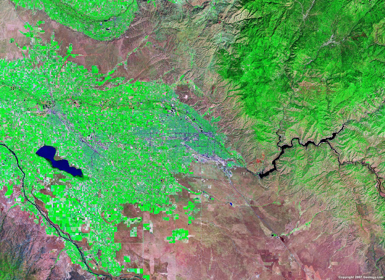
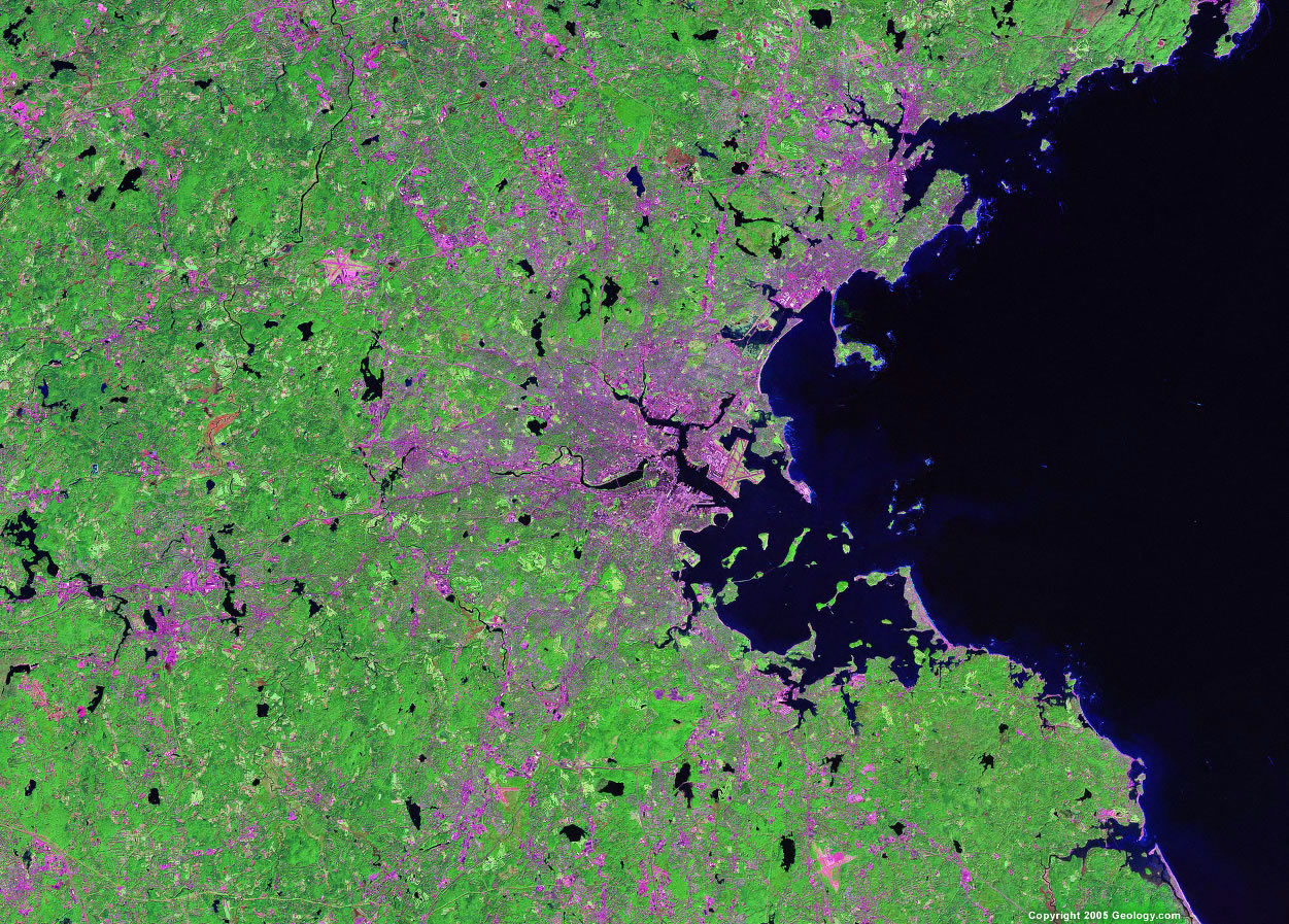
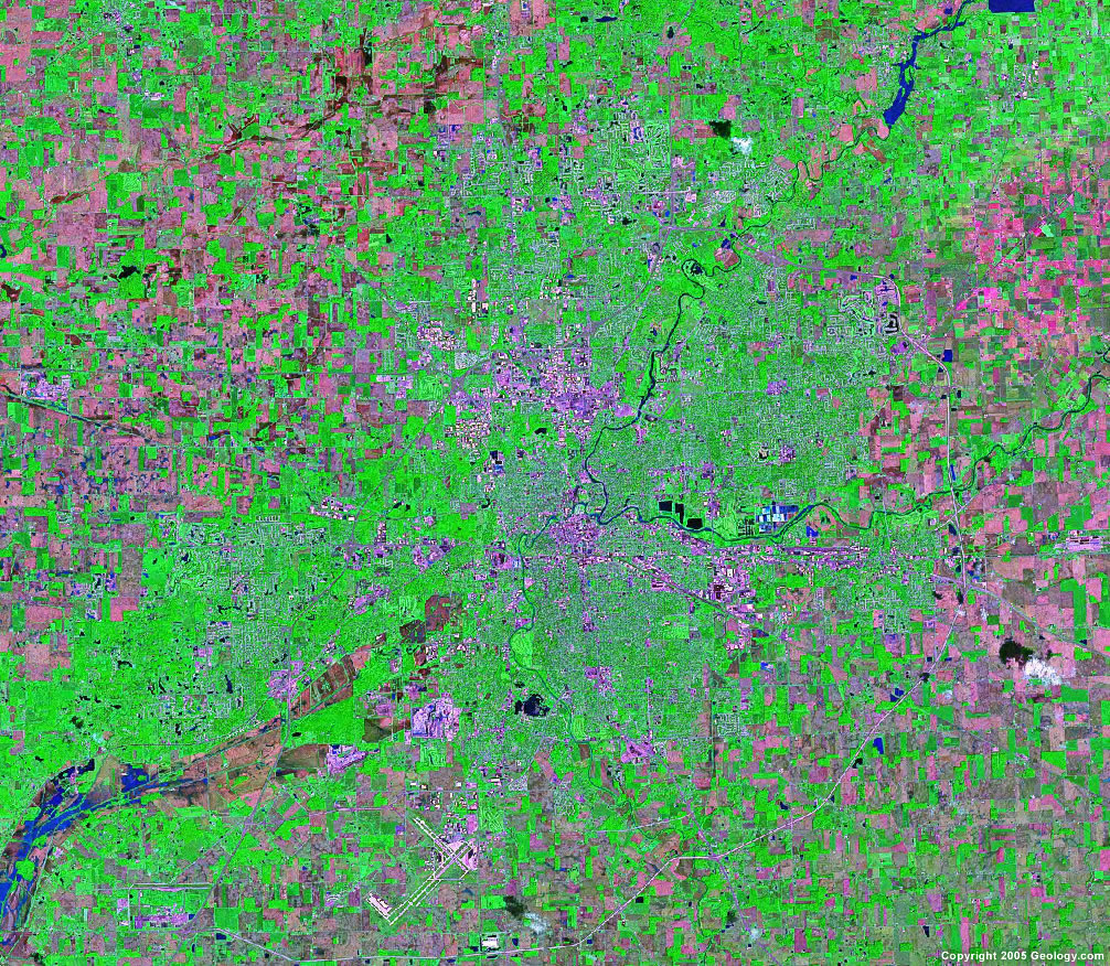
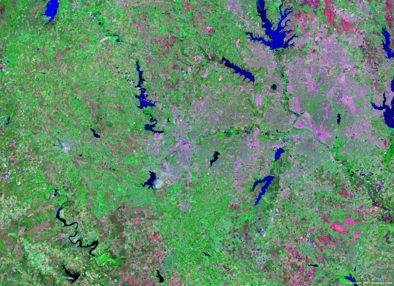
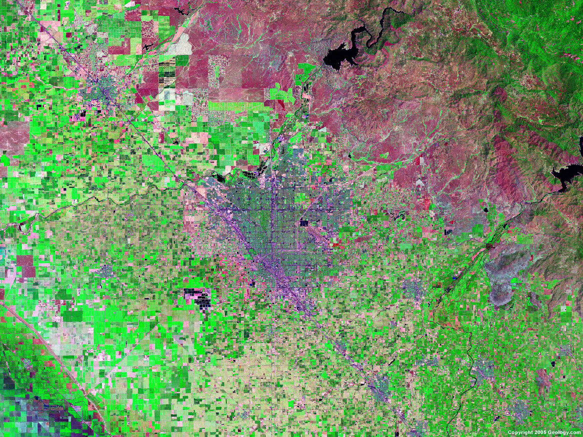
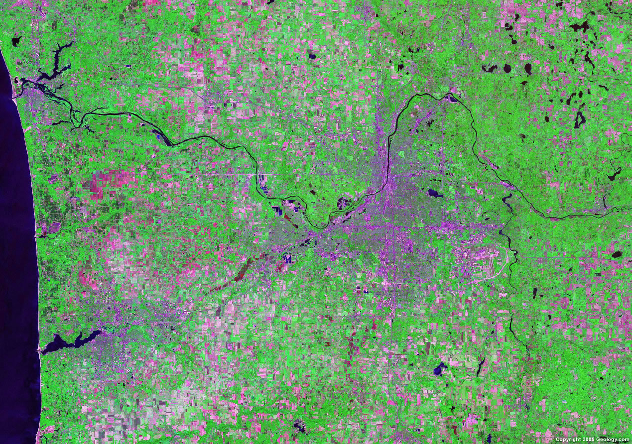
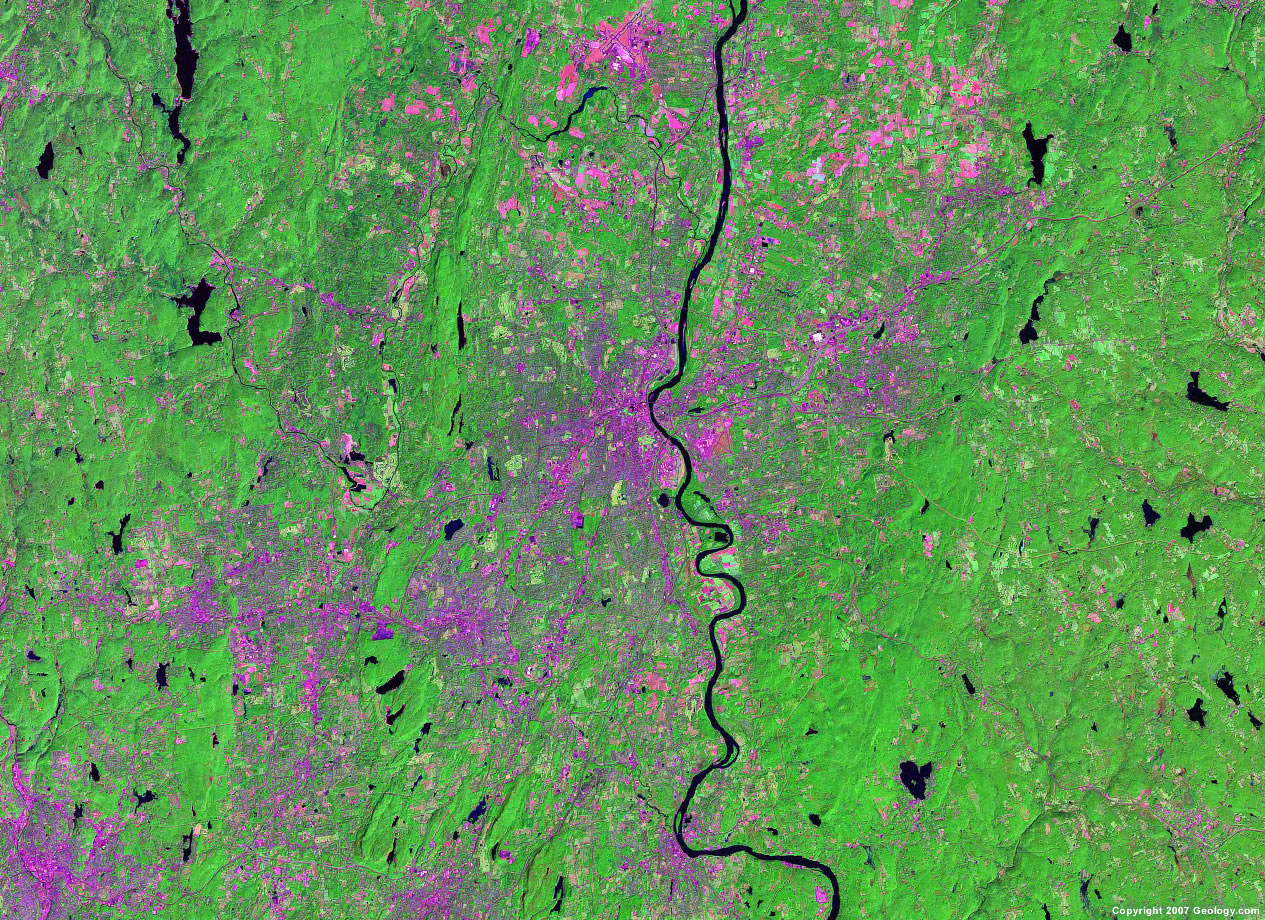
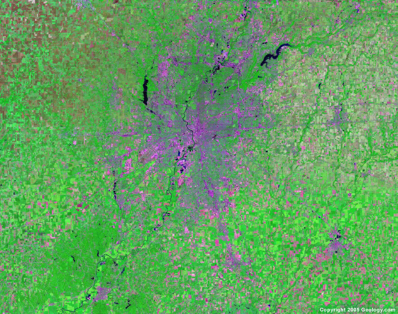
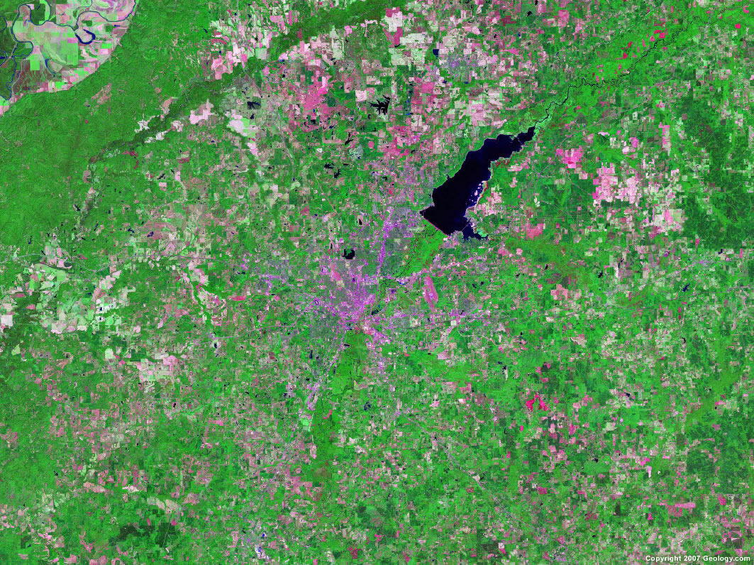
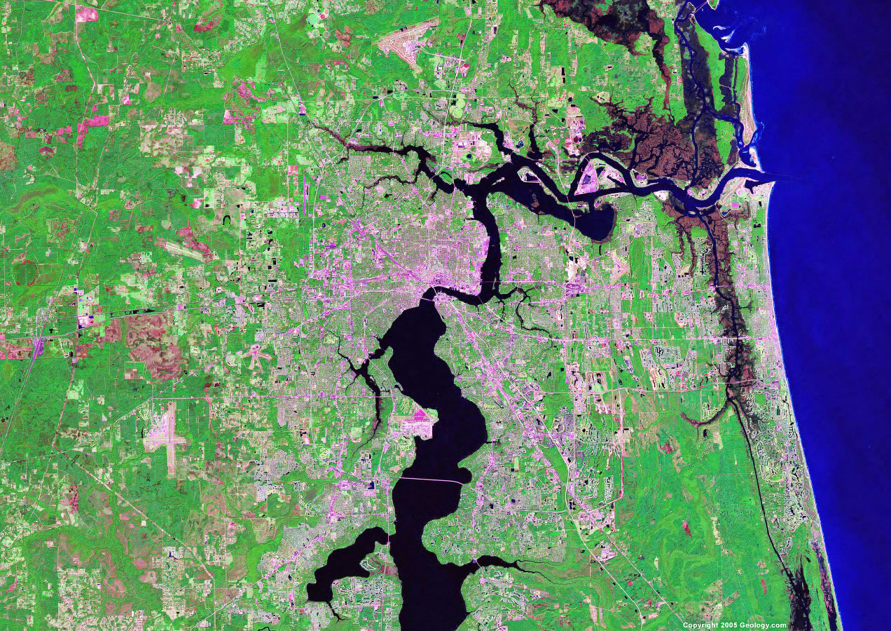
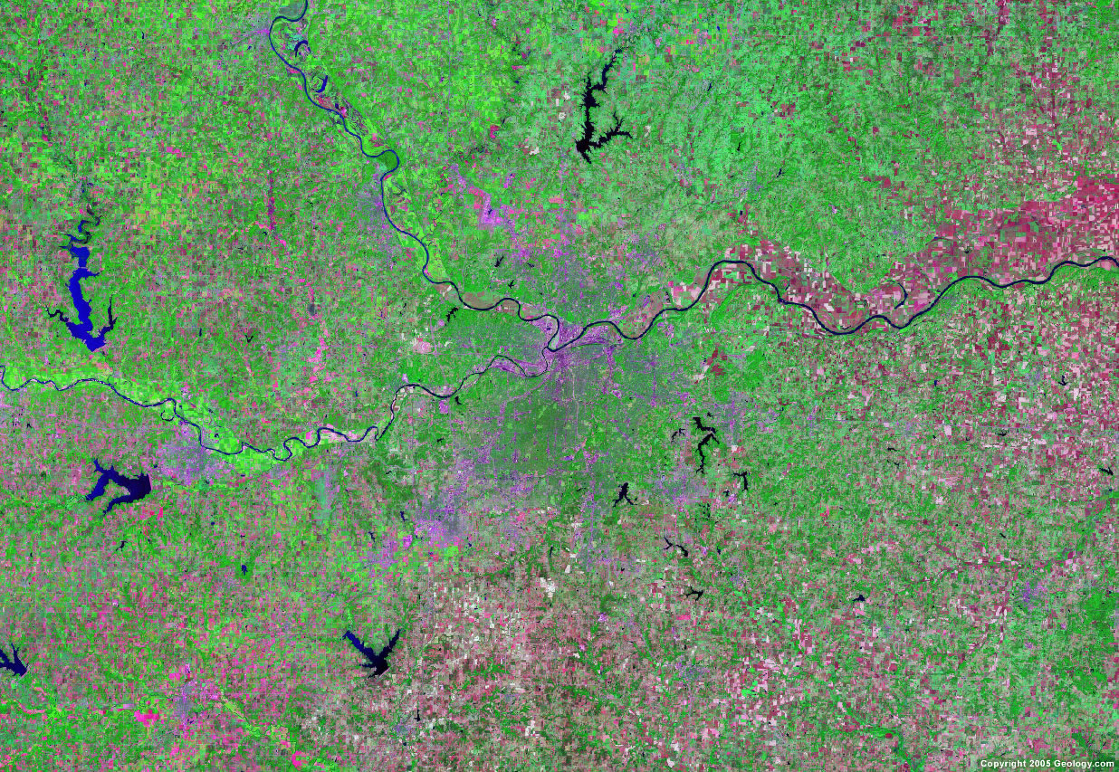
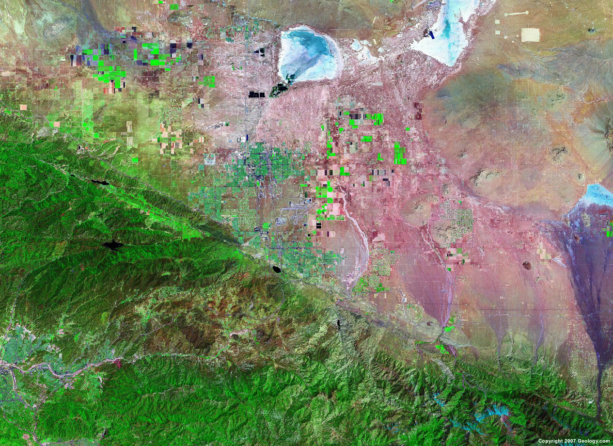
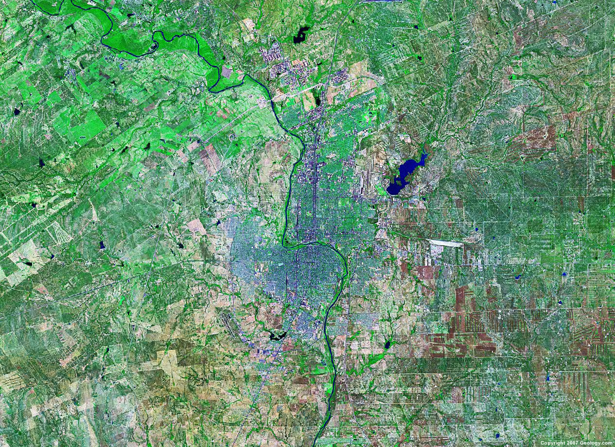
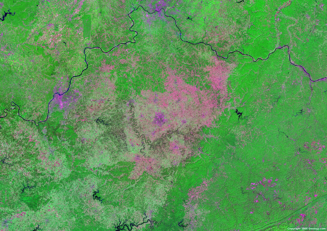
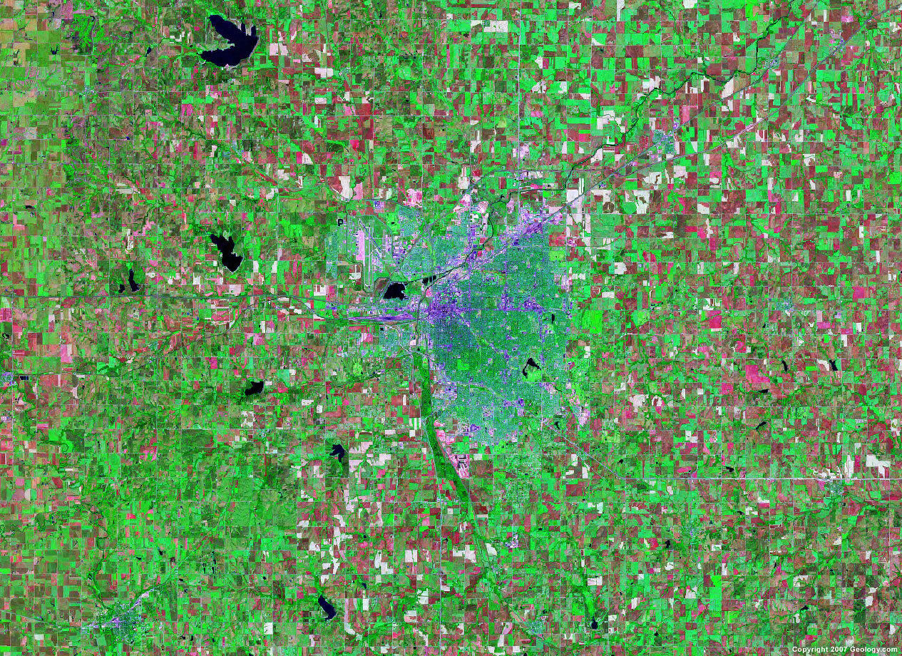
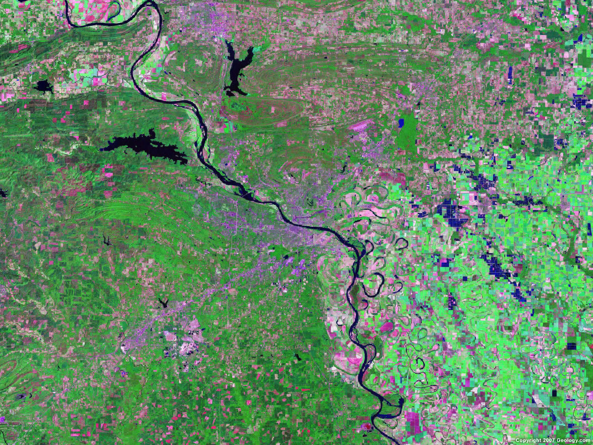
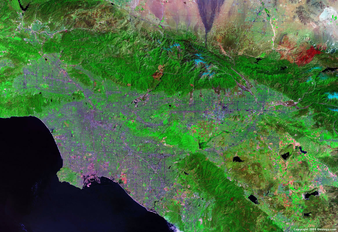
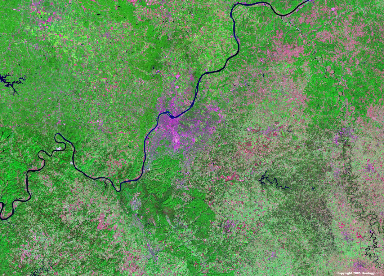
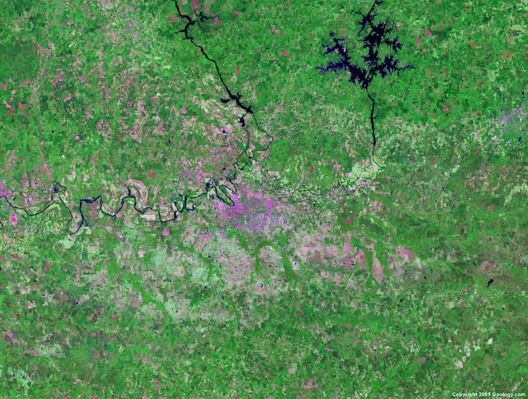
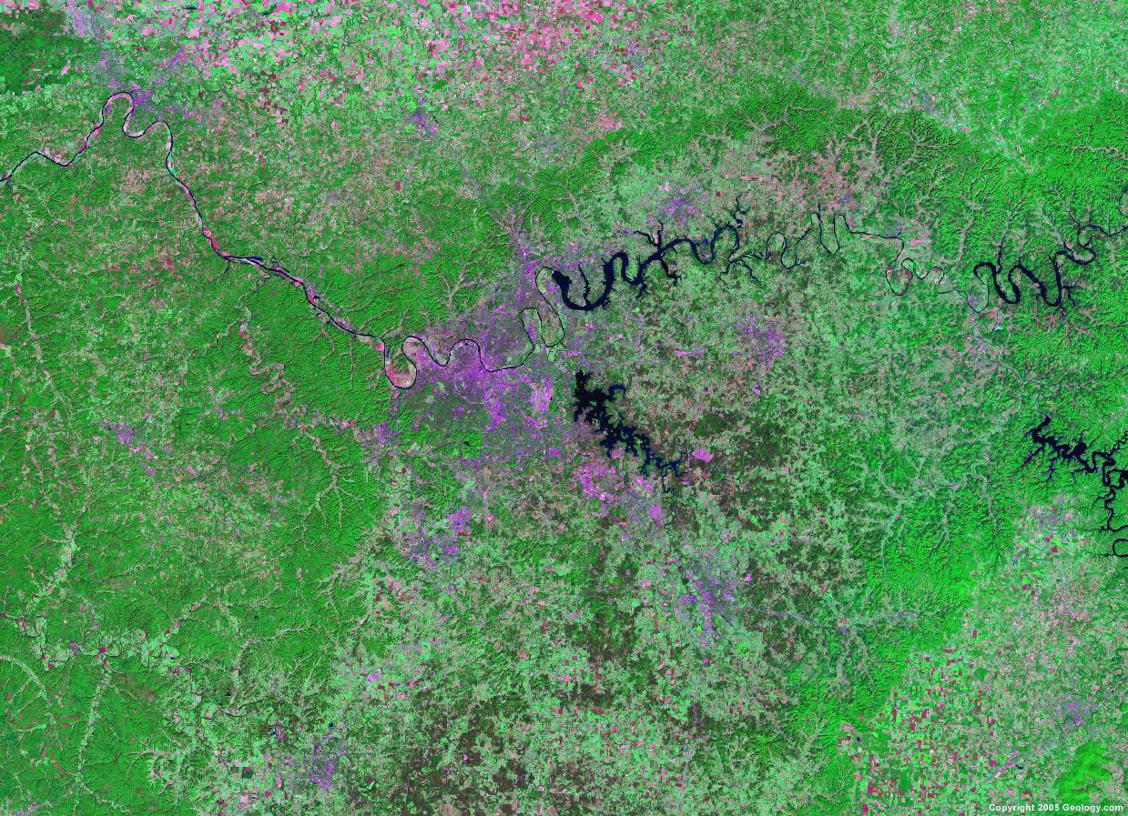
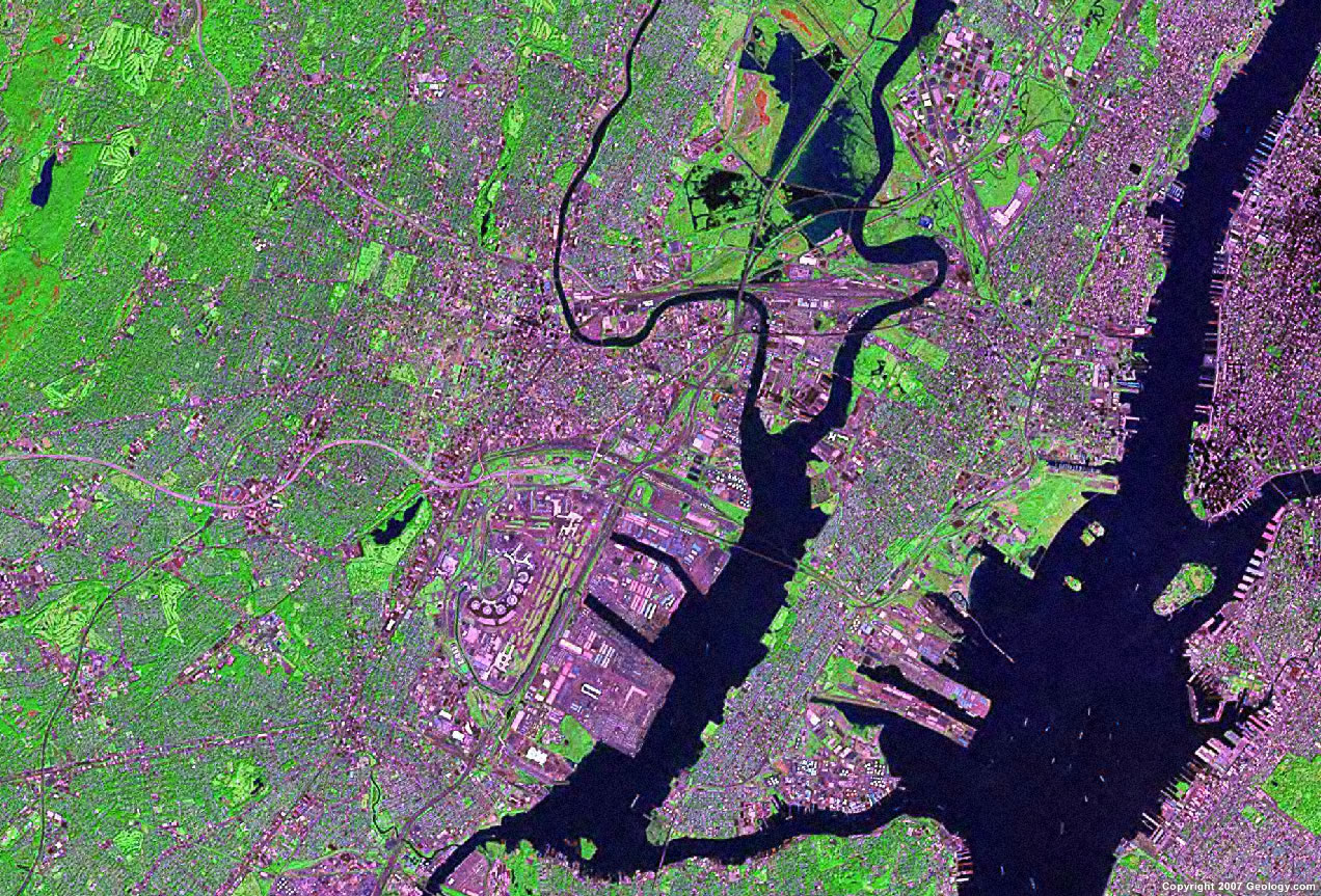
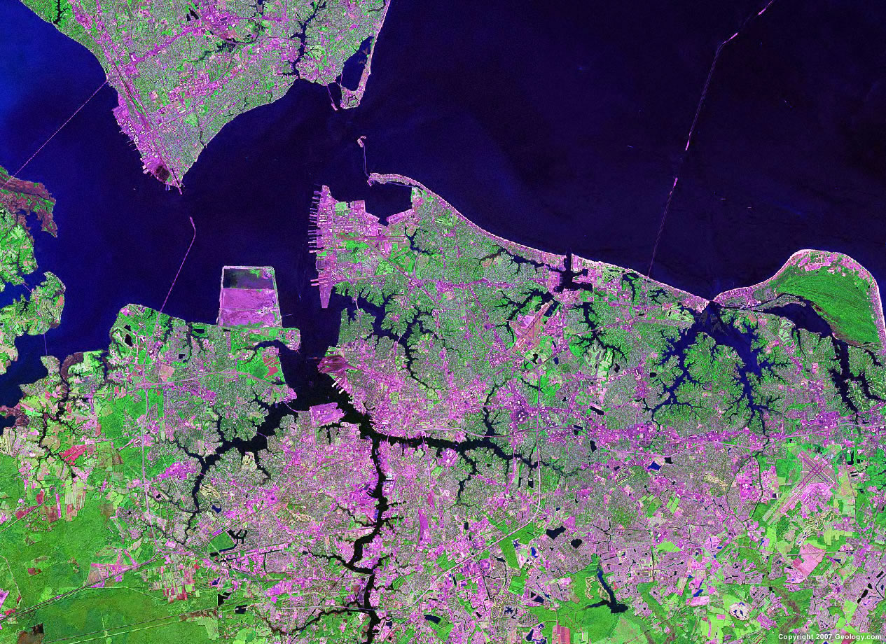
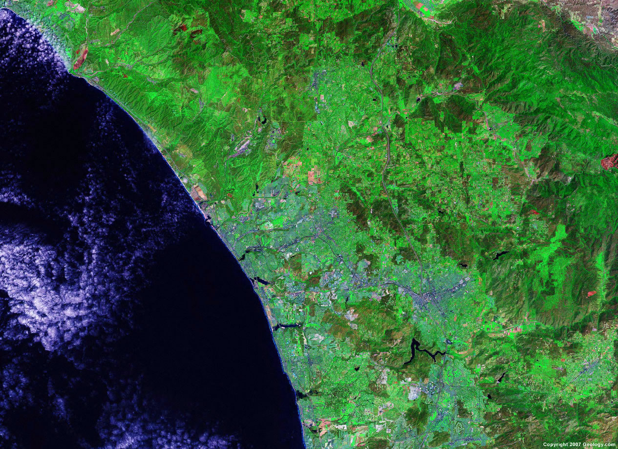
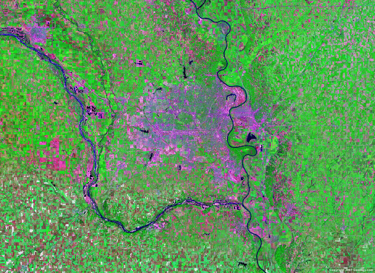
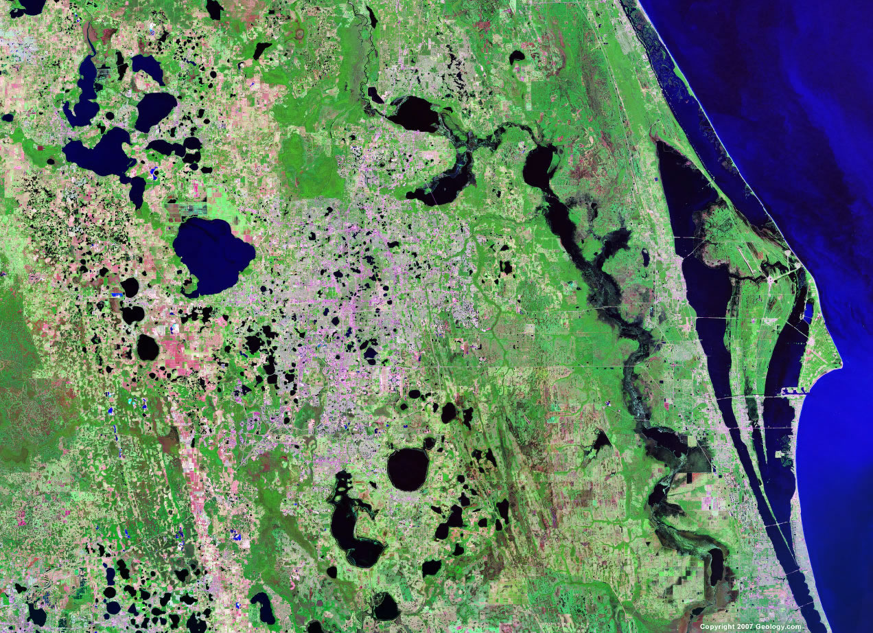
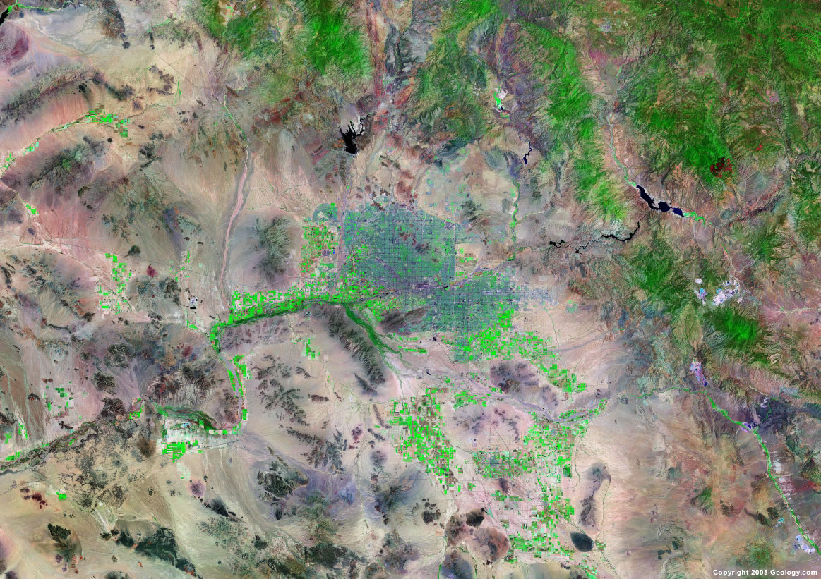
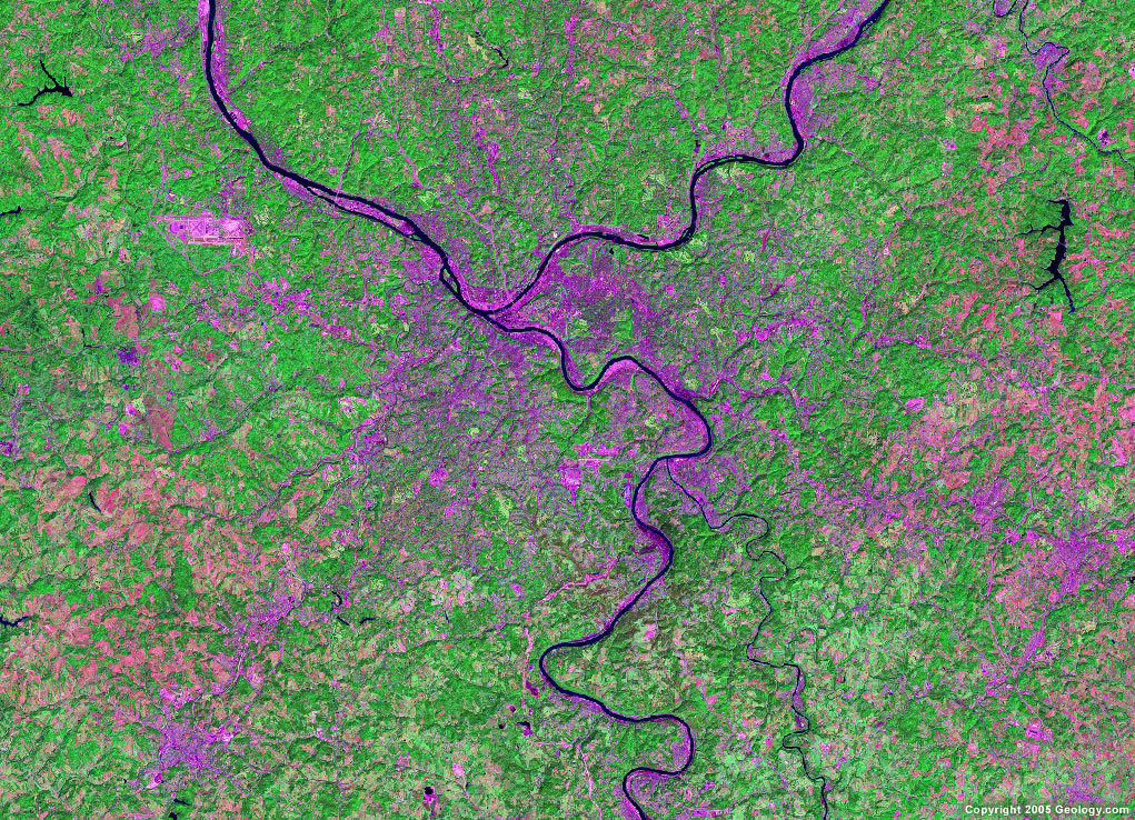
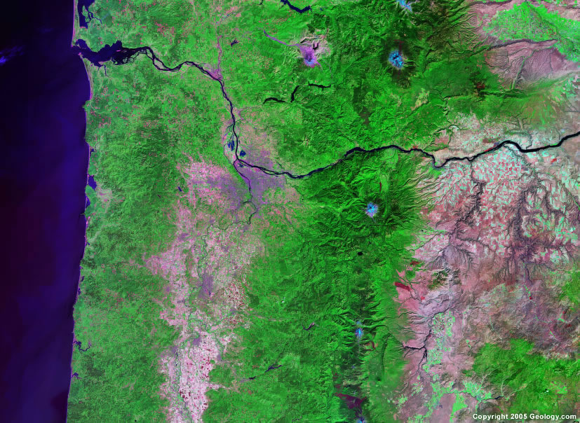
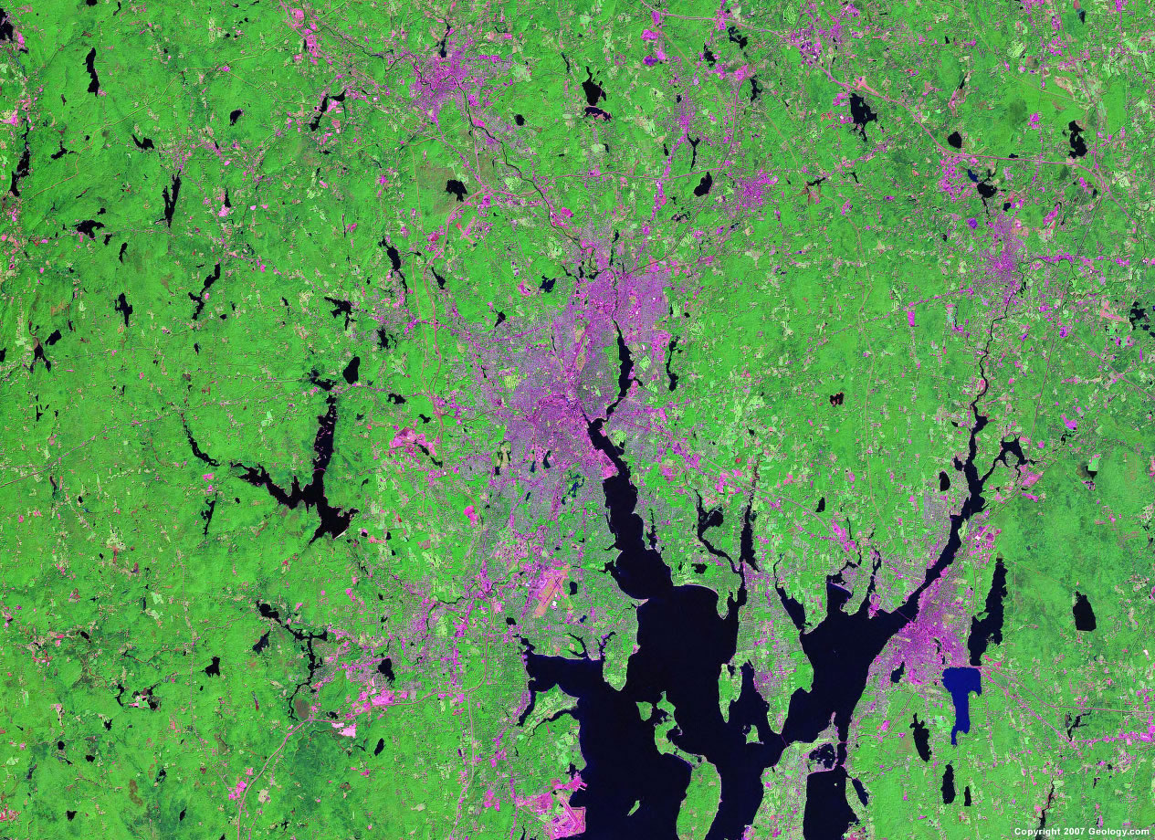
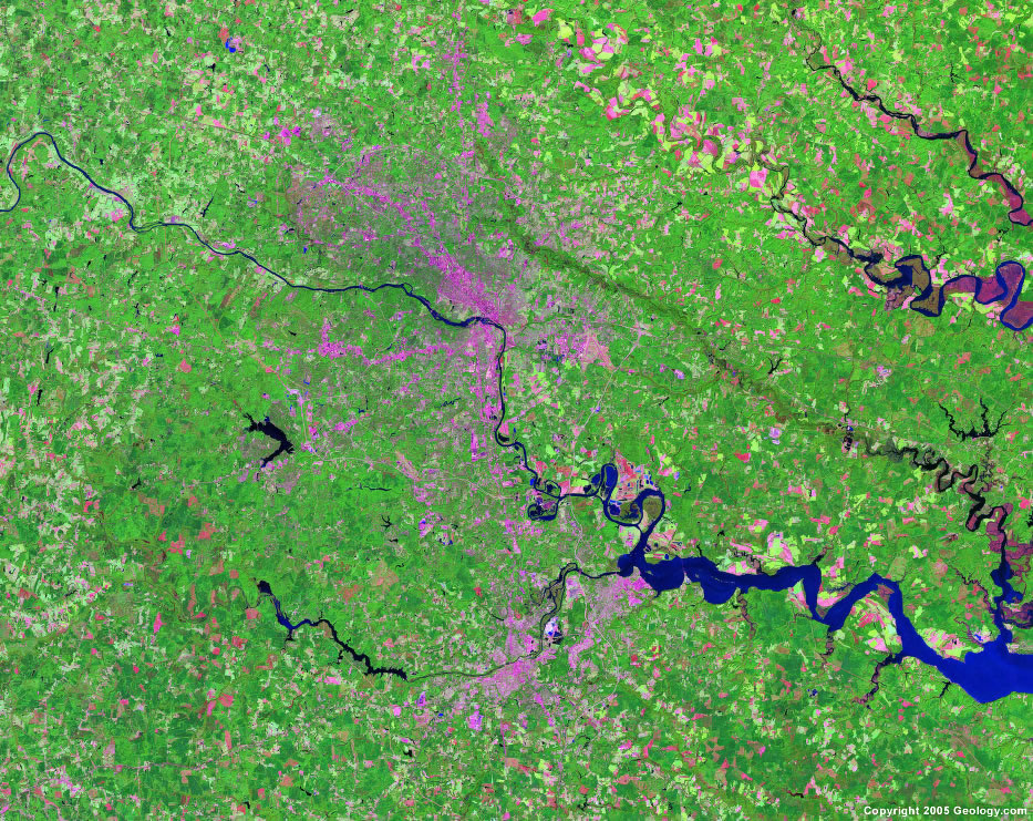
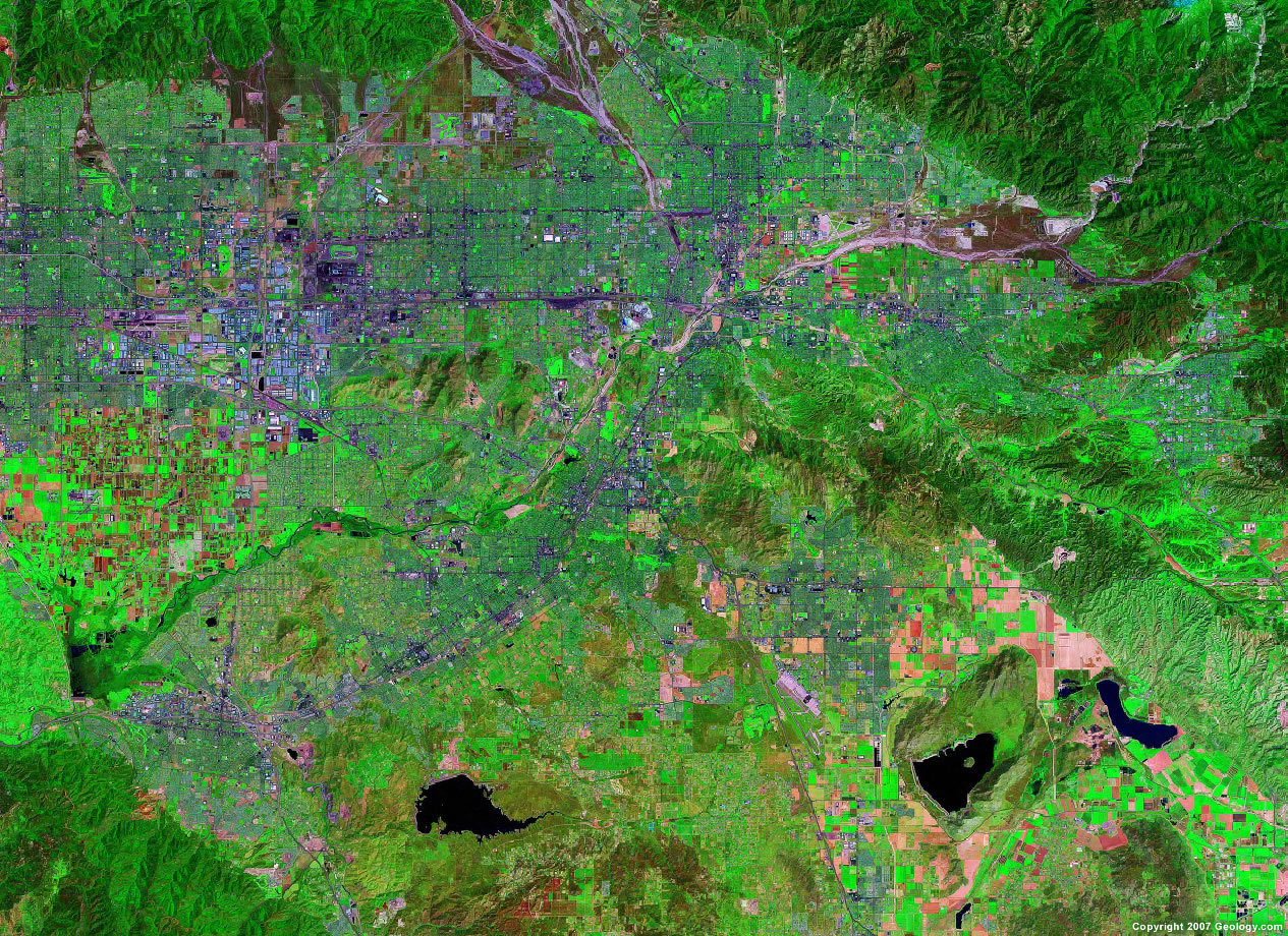
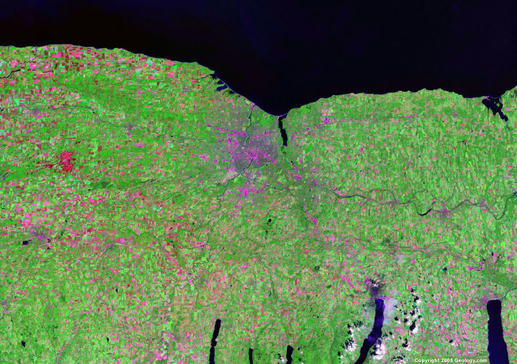
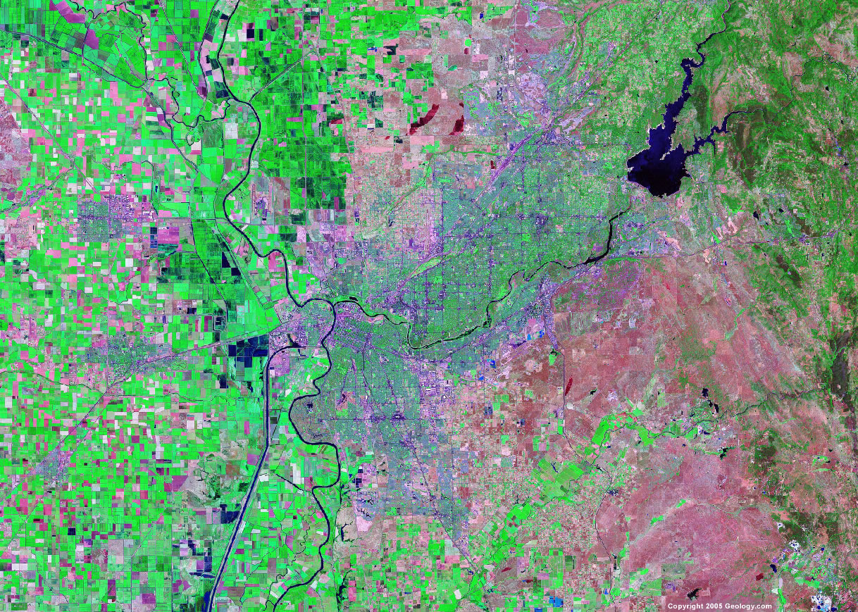
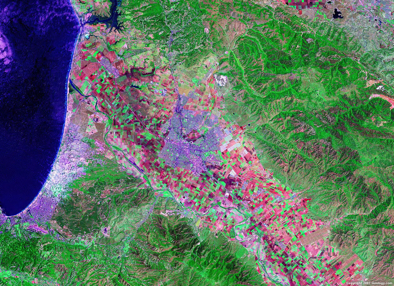
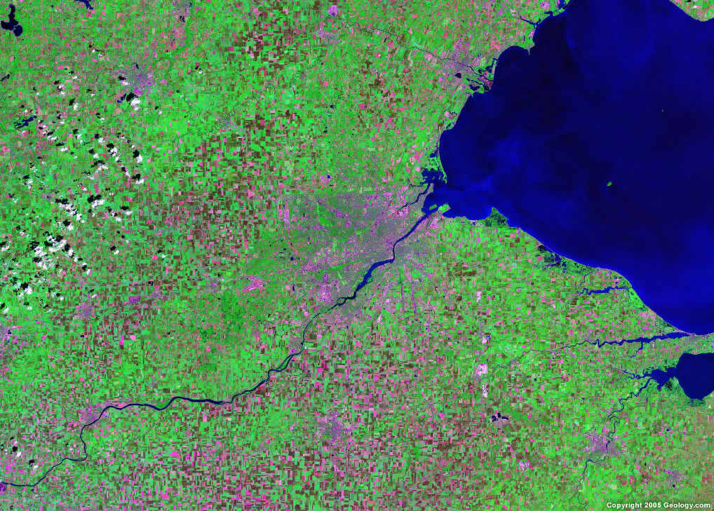
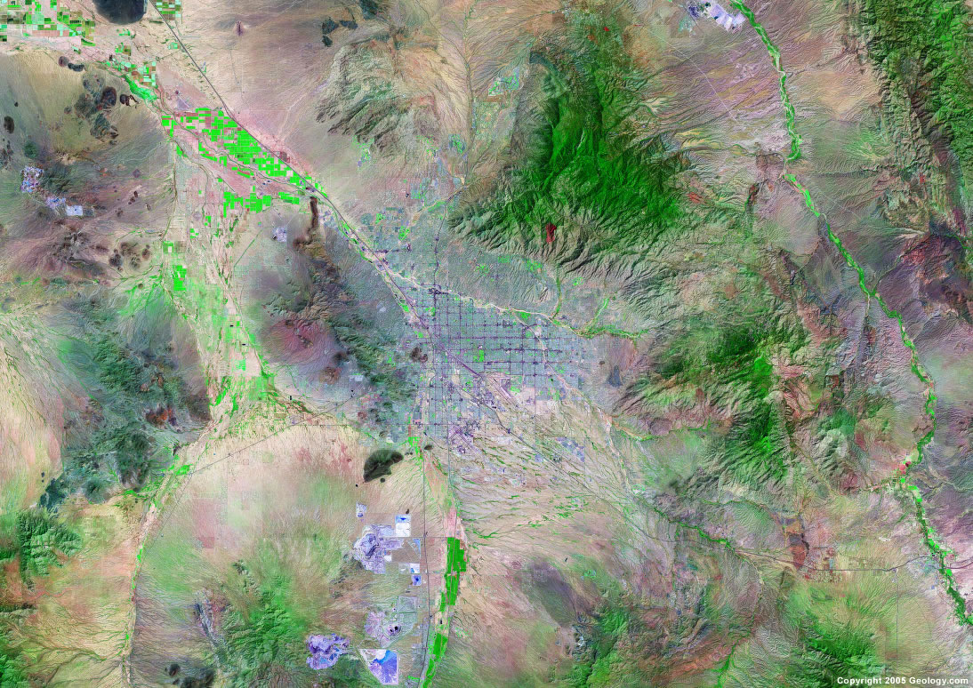
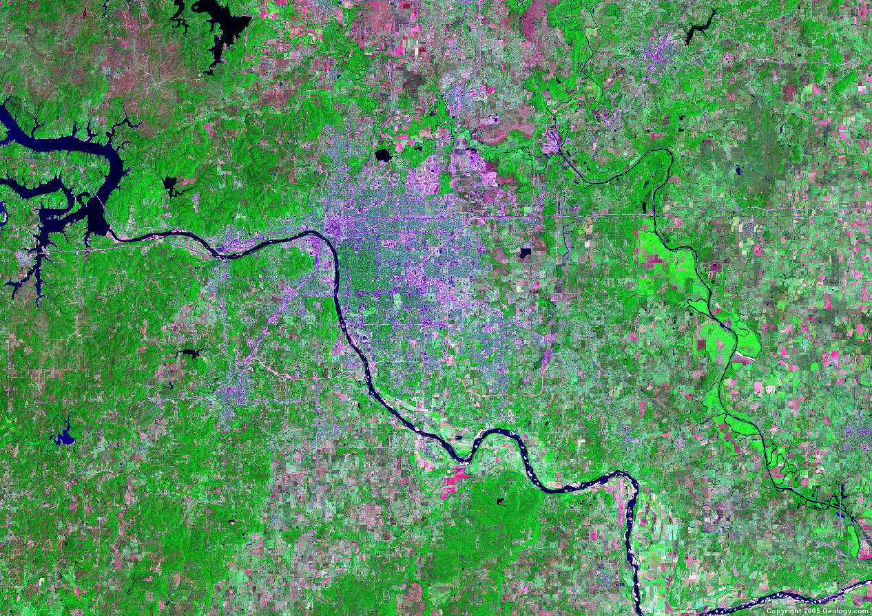
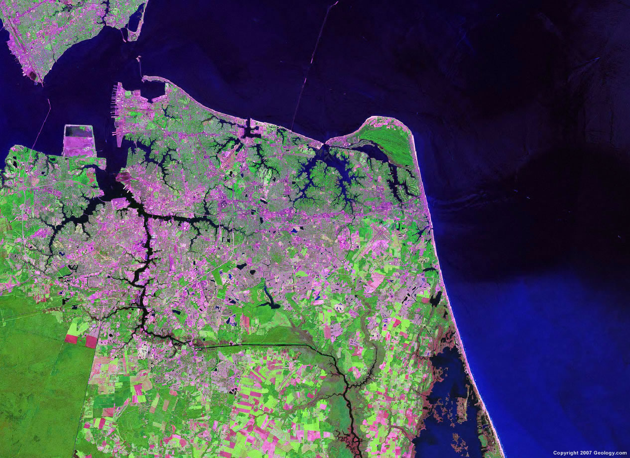
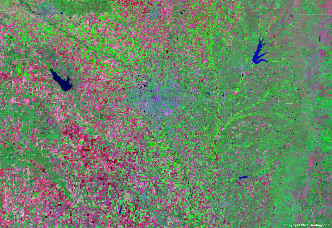
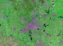
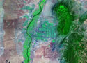
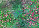
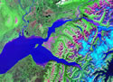
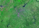
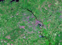
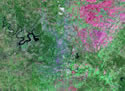
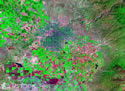
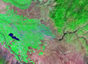
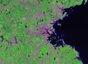
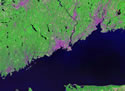
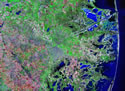
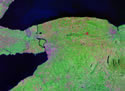
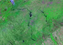
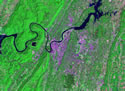
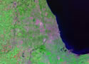
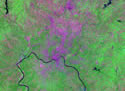
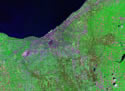
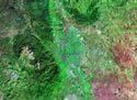
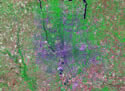
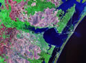
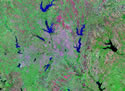
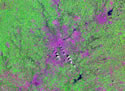
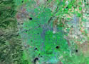
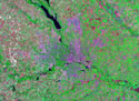
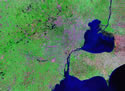
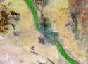
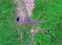
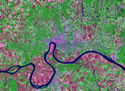
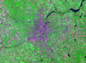
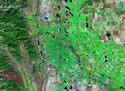
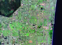
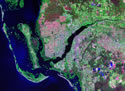
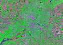
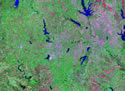
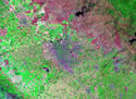
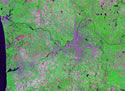
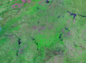
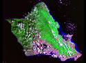
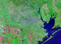
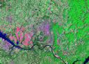
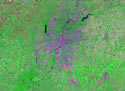
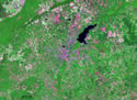
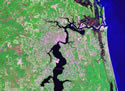
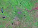
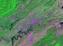
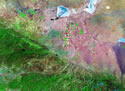
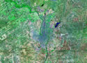
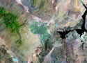
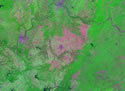
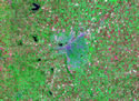
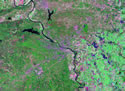
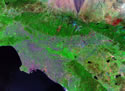
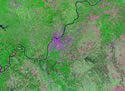
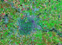
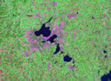
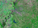
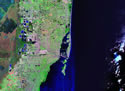
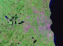
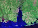
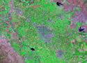
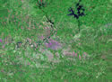
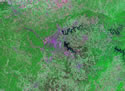
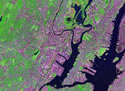
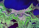
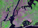
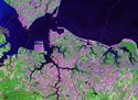
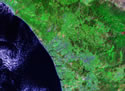
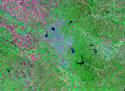
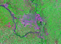
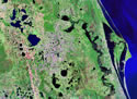
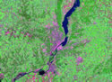
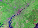
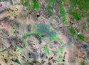
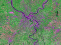
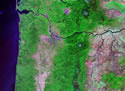
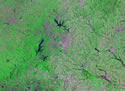
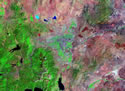
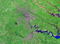
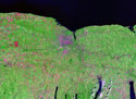
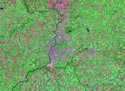
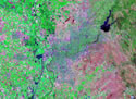
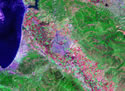
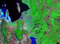
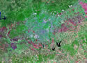
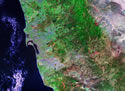
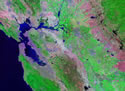
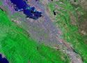
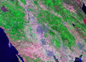
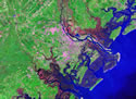
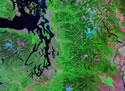
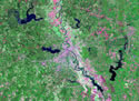
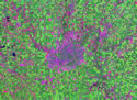
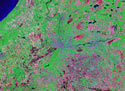
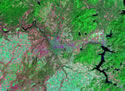
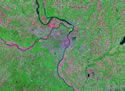
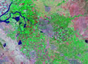
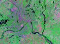
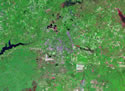
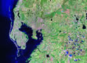
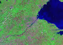
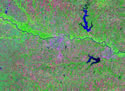
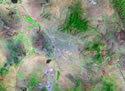
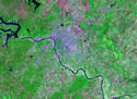
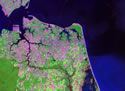
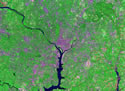
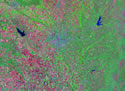
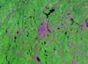
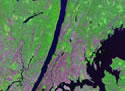
Satellite Images of US Cities - Landsat GeoCover

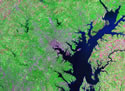
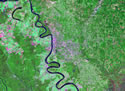
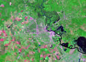
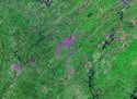
| Click on a thumbnail below to see a Landsat
image of that city. These images were compiled using NASA's GeoCover data. We have selected and scaled
them to show the city and its surrounding environment in an
artistic view. (Note: images shown below differ in scale.) |
|
|
Abilene, TX
|
Akron, OH
|
Albuquerque, NM
|
Amarillo, TX
|
Anchorage, AK
|
Atlanta, GA
|
Augusta, GA
|
Austin, TX
|
Bakersfield, CA
|
Baltimore, MD
|
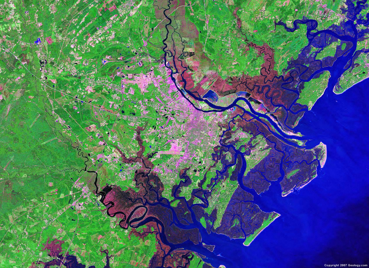
Baton Rouge, LA
|
Beaumont, TX
|
Birmingham, AL
|
Boise, ID
|
Boston, MA
|
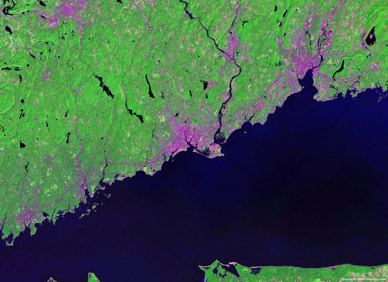
Bridgeport, CT
|
Brownsville, TX
|
Buffalo, NY
|
Charlotte, NC
|
Chattanooga, TN
|
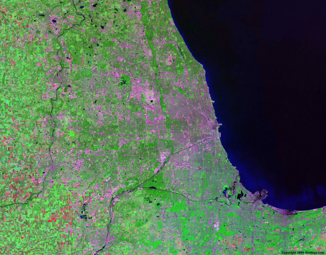
Chicago, IL
|
Cincinnati, OH
|
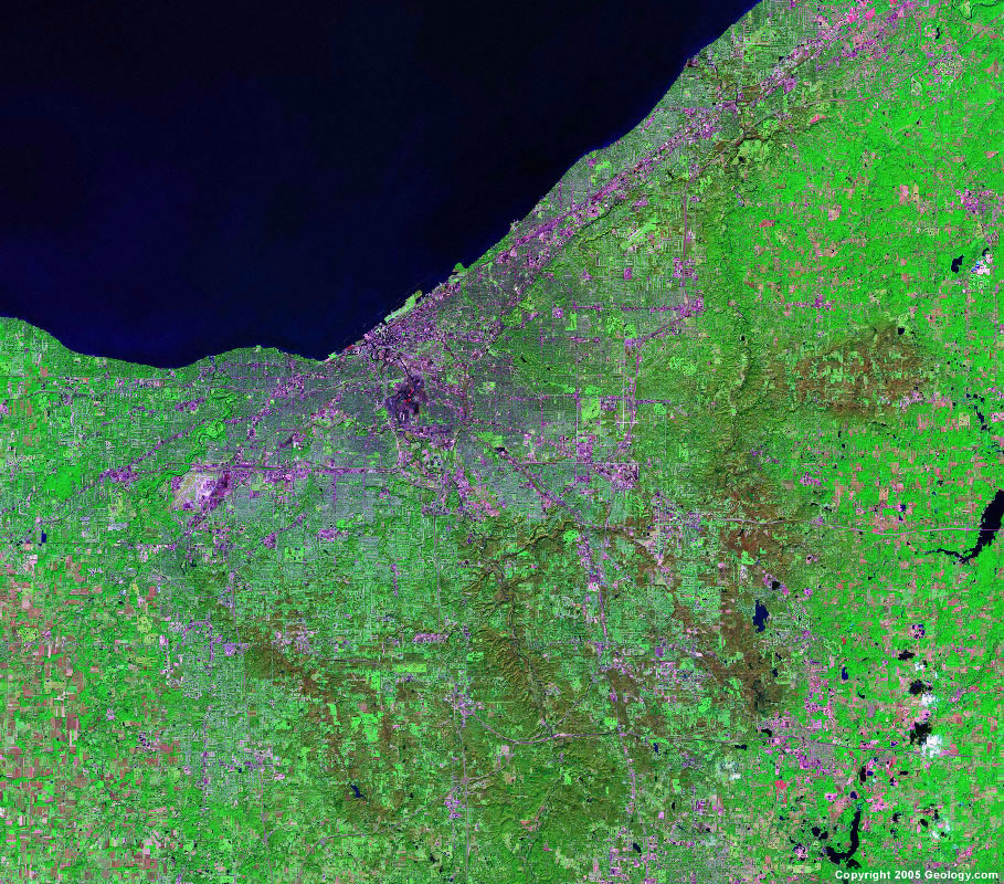
Cleveland, OH
|
Colorado Springs, CO
|
Columbus, OH
|
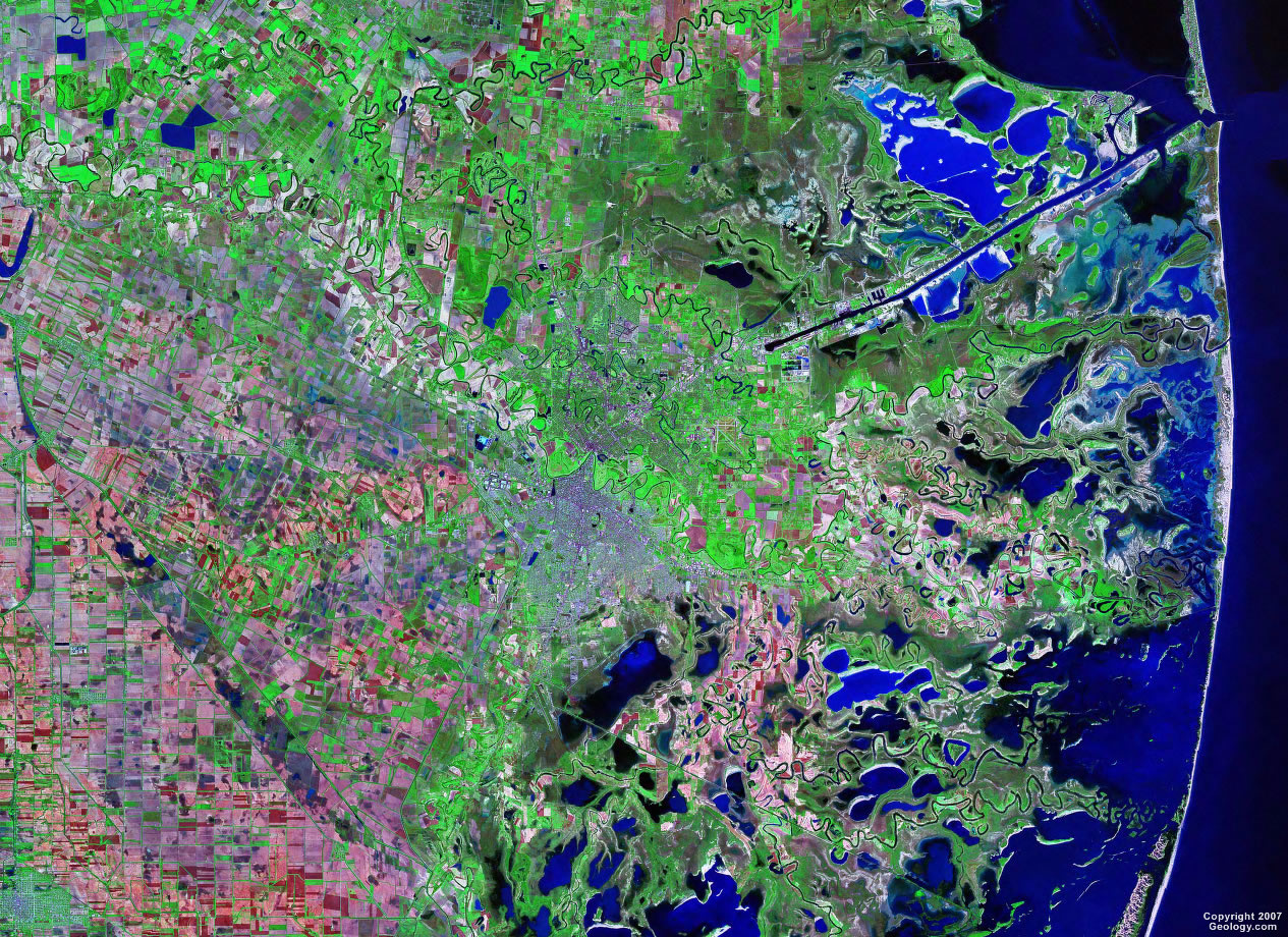
Corpus Christi, TX
|
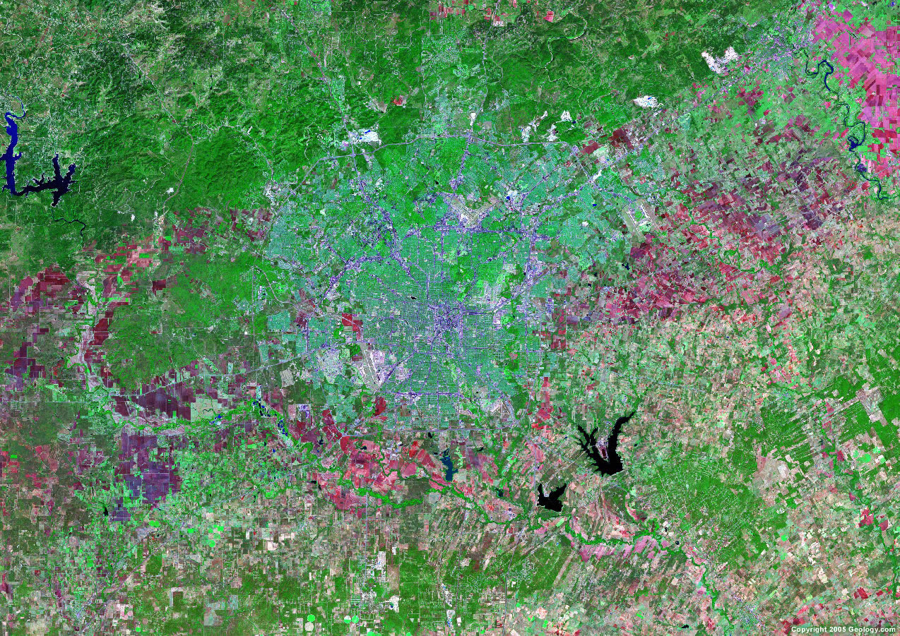
Dallas, TX
|
Dayton, OH
|
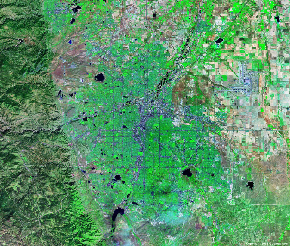
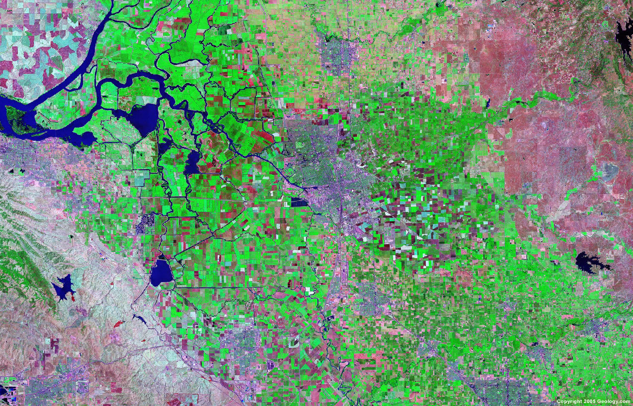
Denver, CO
|
Des Moines, IA
|
Detroit, MI
|
El Paso, TX
|
Eugene, OR
|
Evansville, IN
|

Fayetteville, NC
|
Flint, MI
|
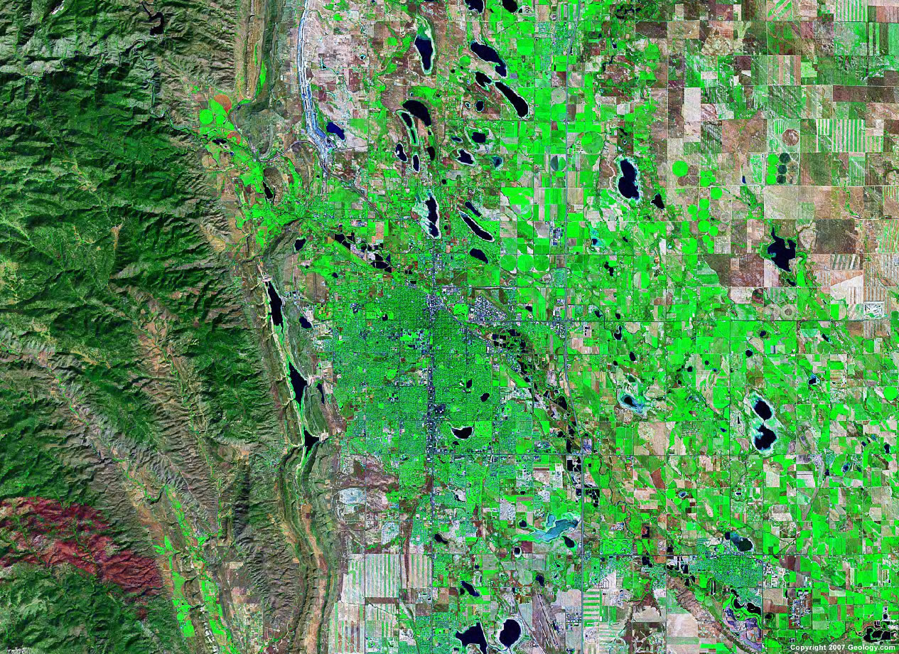
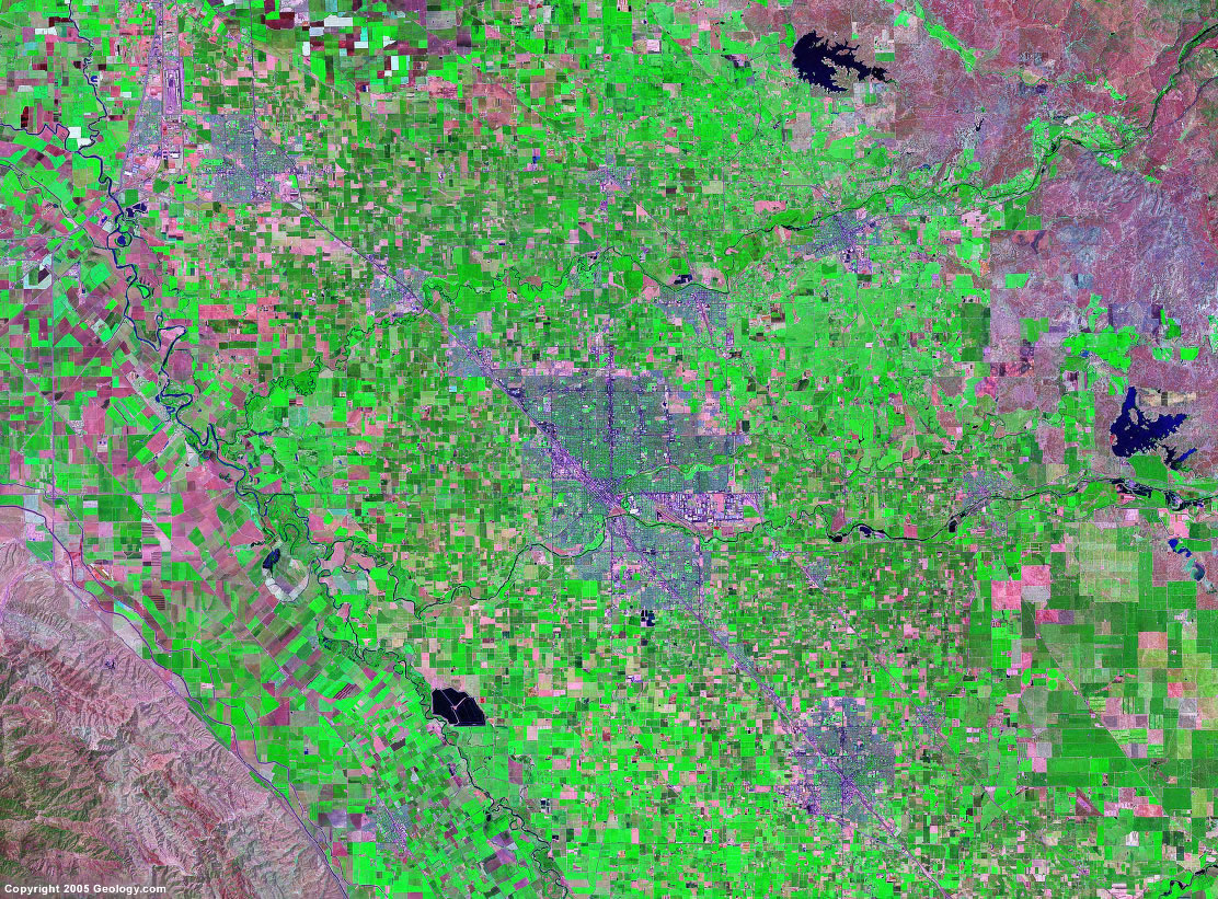
Fort Collins, CO
|
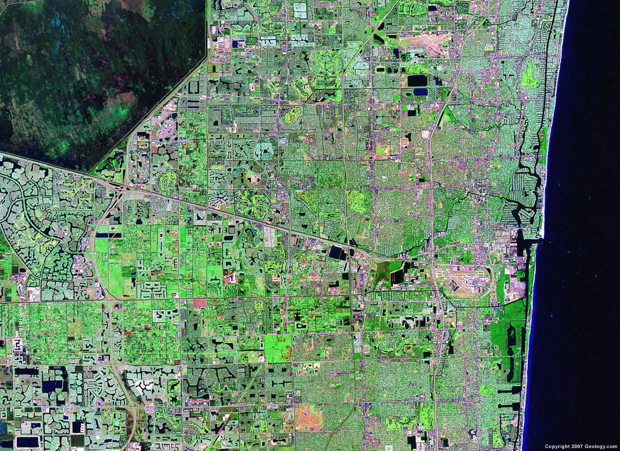
Fort Lauderdale, FL
|
Fort Myers, FL
|
Fort Wayne, IN
|
Fort Worth, TX
|
Fresno, CA
|
Grand Rapids, MI
|
Greensboro, NC
|

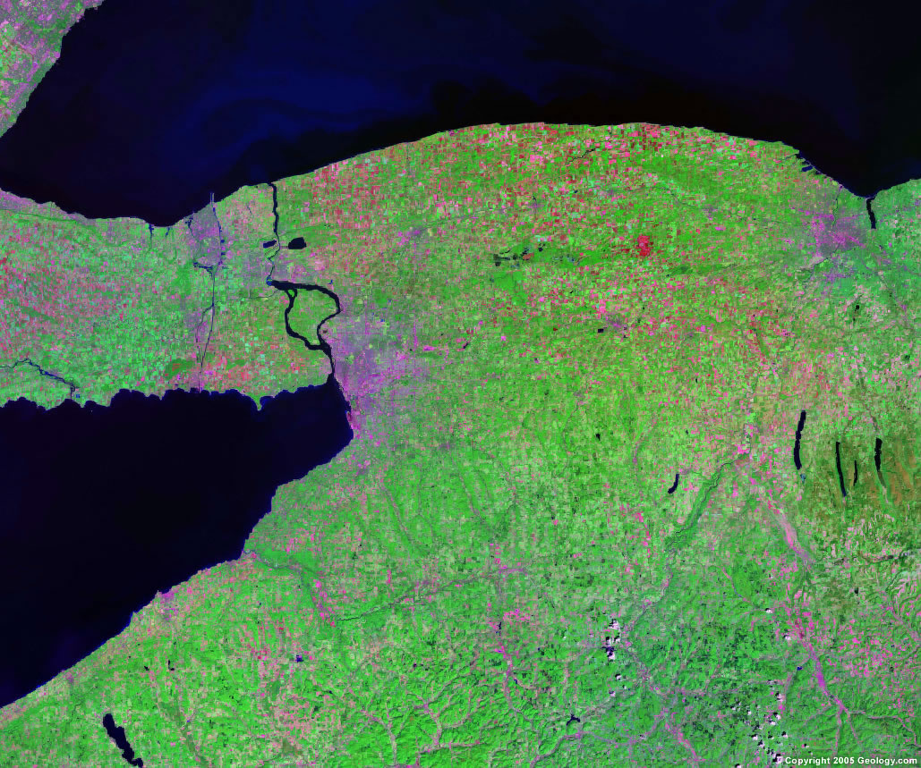
Hartford, CT
|
Honolulu, HI
|
Houston, TX
|
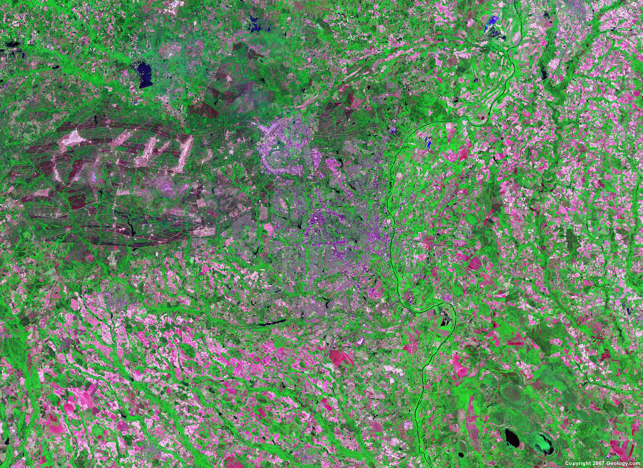
Huntsville, LA
|
Indianapolis, IN
|
Jackson, MS
|
Jacksonville, FL
|
Kansas City, MO
|
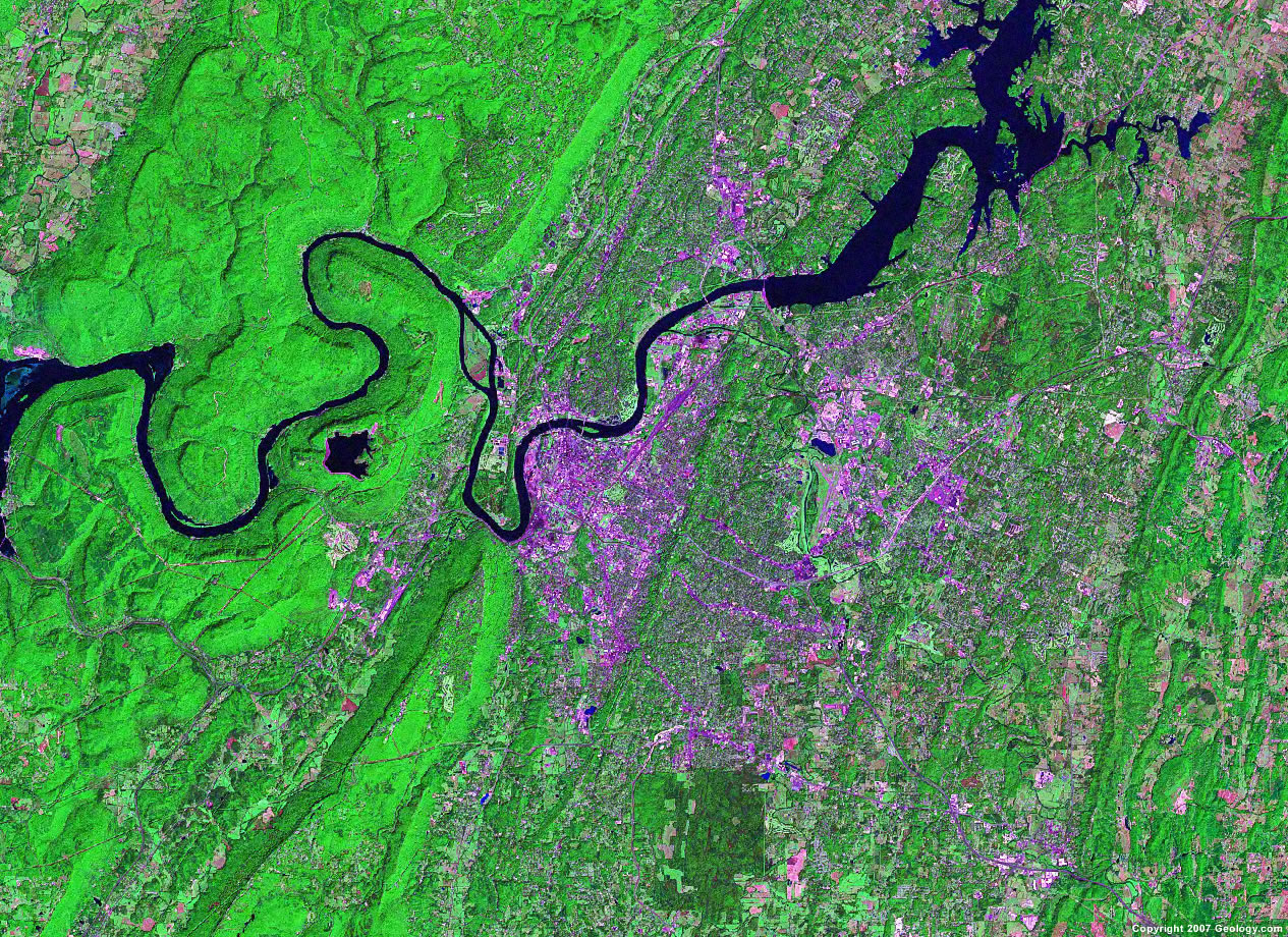
Knoxville, TN
|
Lancaster, CA
|
Laredo, TX
|
Las Vegas, NV
|
Lexington, KY
|
Lincoln, NE
|
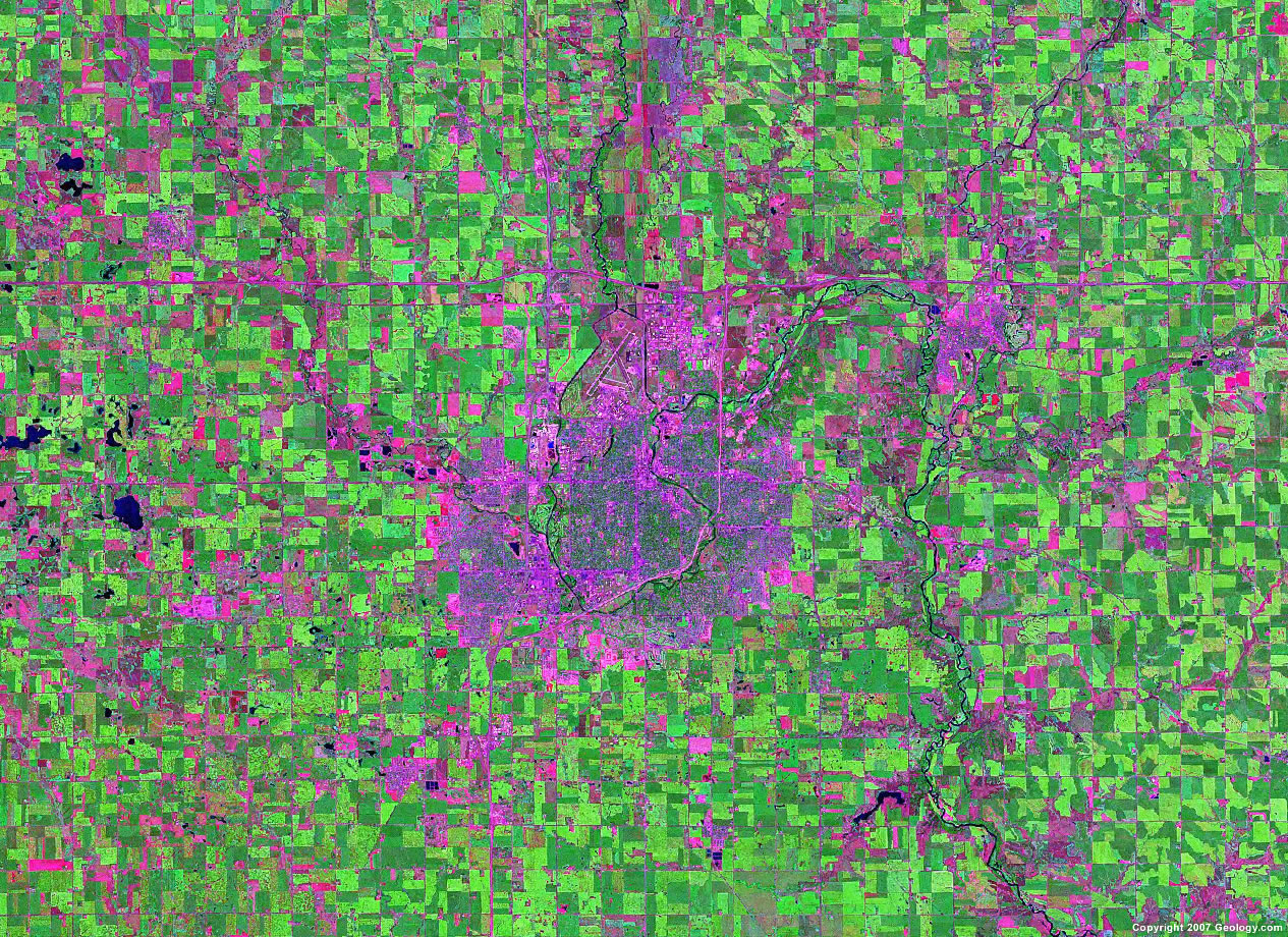
Little Rock, AR
|
Los Angeles, CA
|
Louisville, KY
|
Lubbock, TX
|
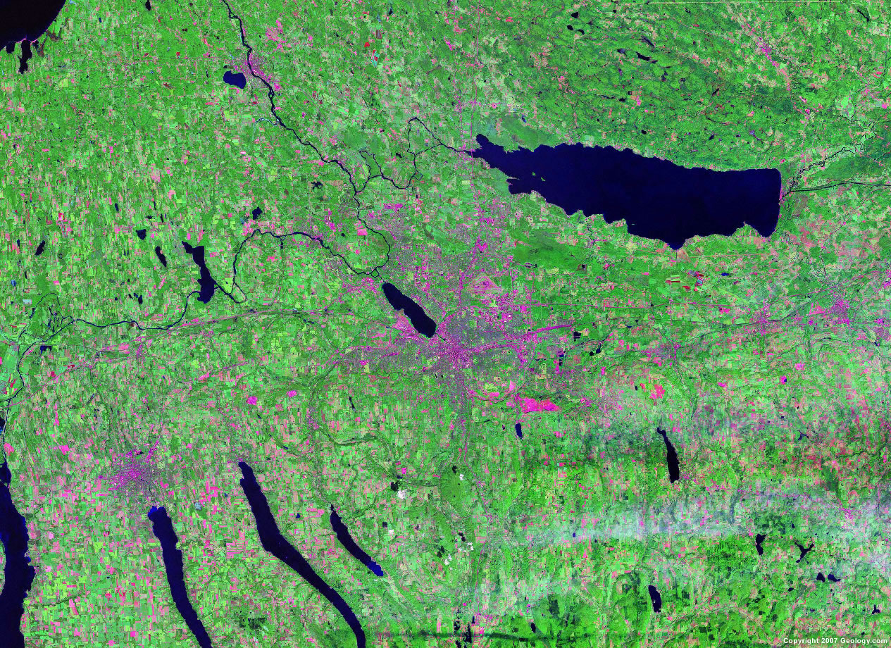
Madison, WI
|
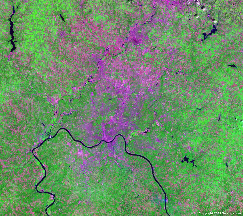
Memphis, TN
|
Miami, FL
|
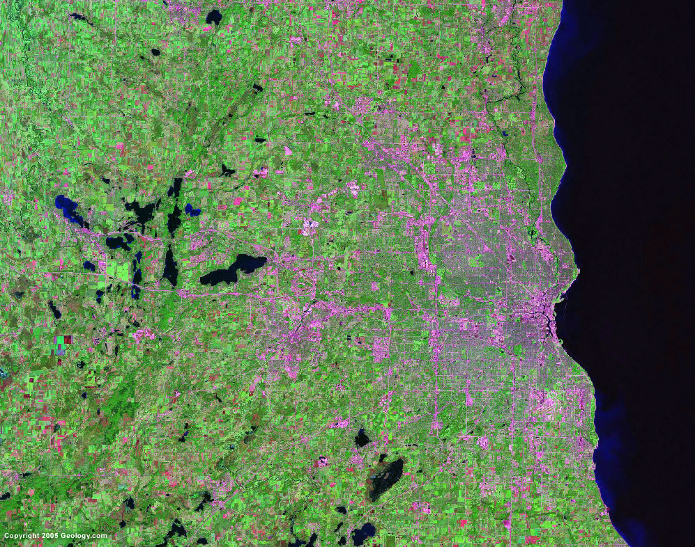
Milwaukee, WI
|

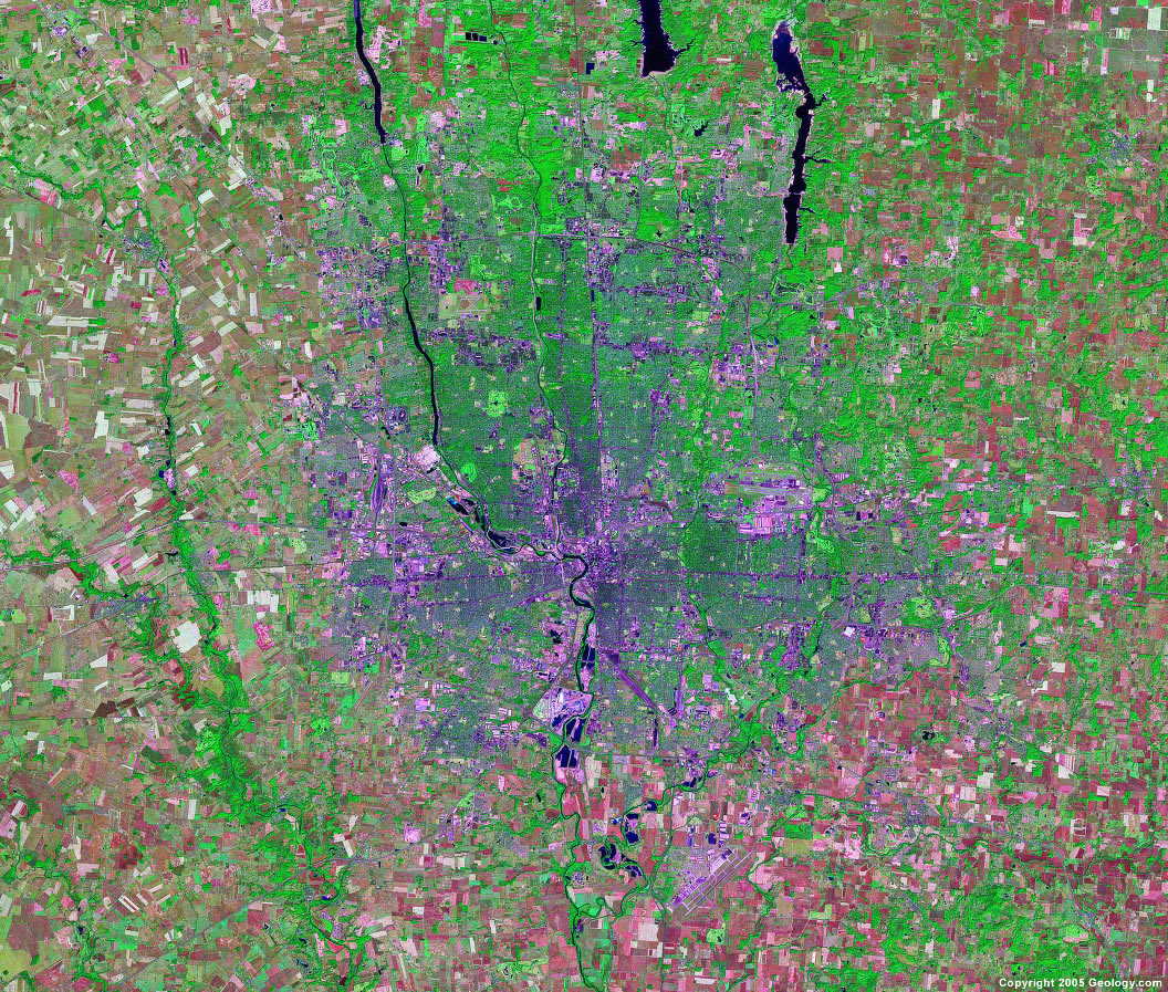
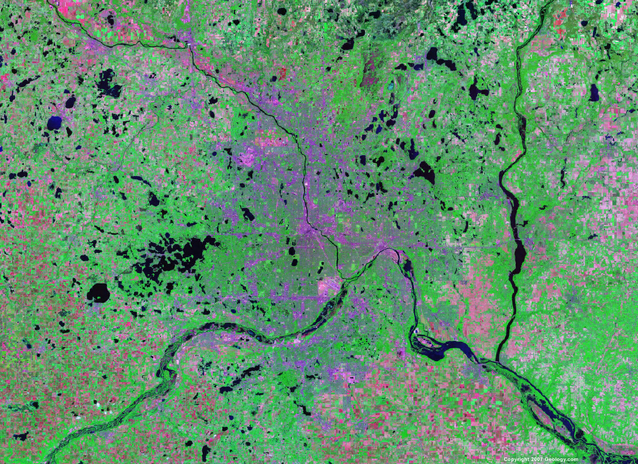
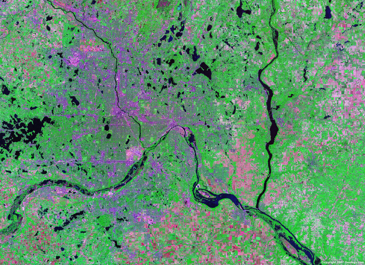
Minneapolis, MN
|
Mobile, AL
|
Modesto, CA
|
Montgomery, AL
|
Nashville, TN
|
Newark, NJ
|
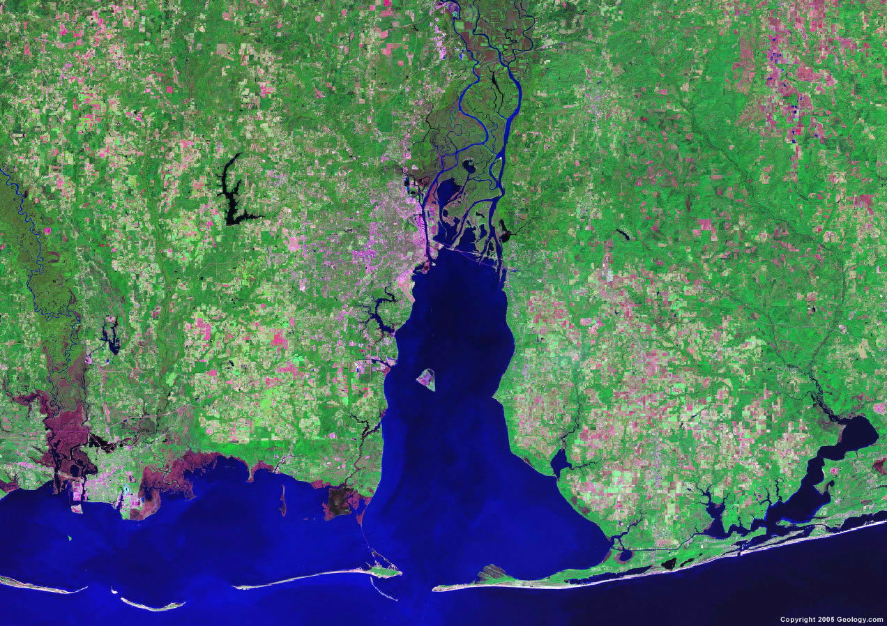
New Orleans, LA
|
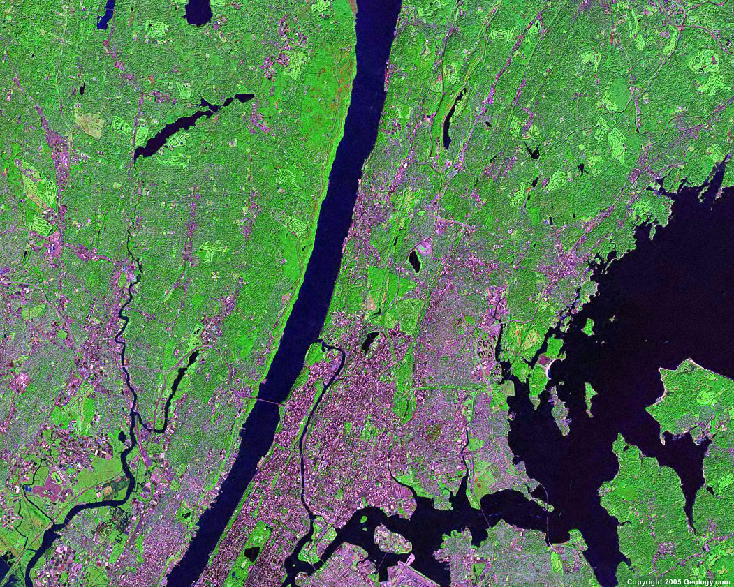
New York City, NY
|
Norfolk, VA
|
Oceanside, CA
|
Oklahoma City, OK
|
Omaha, NE
|
Orlando, FL
|
Peoria, IL
|
Philadelphia, PA
|
Phoenix, AZ
|
Pittsburgh, PA
|
Portland, OR
|

Providence, RI
|
Raleigh, NC
|
Reno, NV
|
Richmond, VA
|

Riverside, CA
|
Rochester, NY
|
Rockford, IL
|
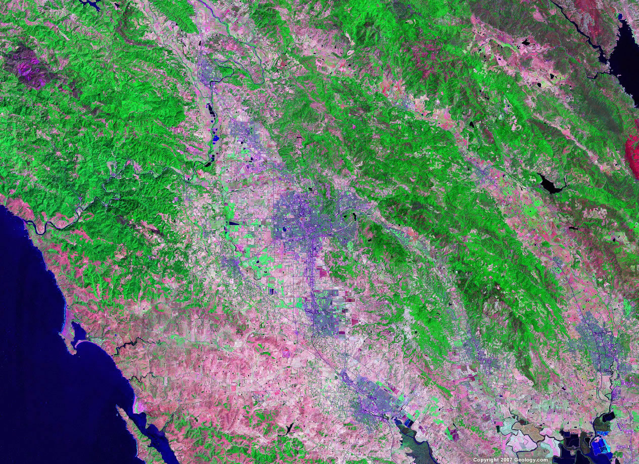
Sacramento, CA
|
Salinas, CA
|
Salt Lake City, UT
|
San Antonio, TX
|
San Diego, CA
|
San Francisco, CA
|
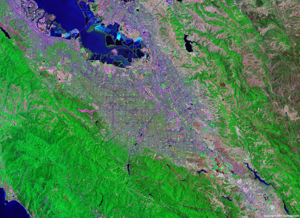
San Jose, CA
|
Santa Rosa, CA
|
Savannah, GA
|
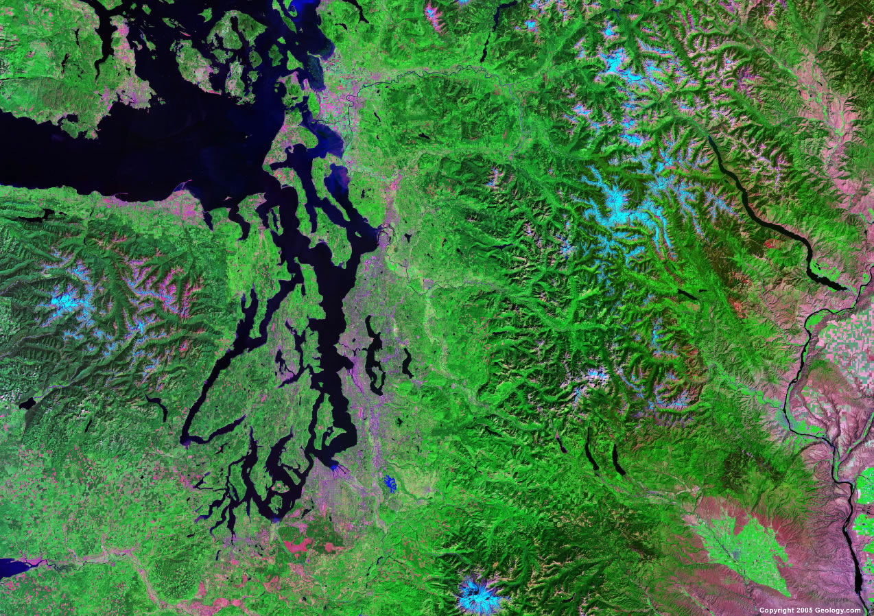
Seattle, WA
|
Shreveport, LA
|
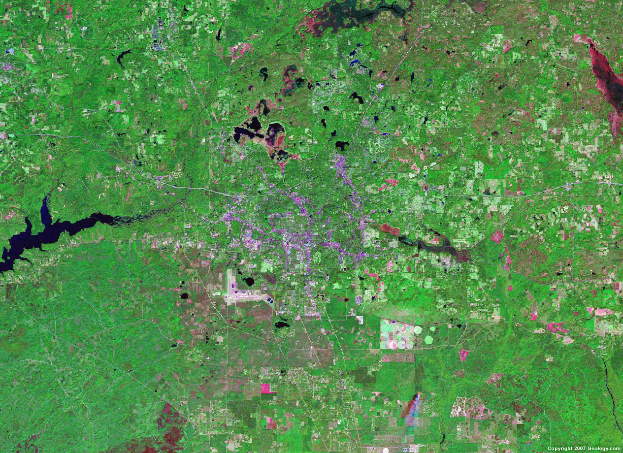
Sioux Falls, SD
|
South Bend, IN
|
Spokane, WA
|
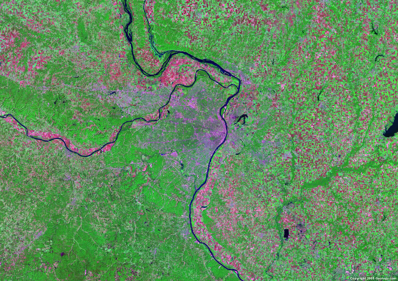
St. Louis, MO
|
Stockton, CA
|
St. Paul, MN
|

Syracuse, NY
|
Tallahassee, FL
|
Tampa, FL
|
Toledo, OH
|
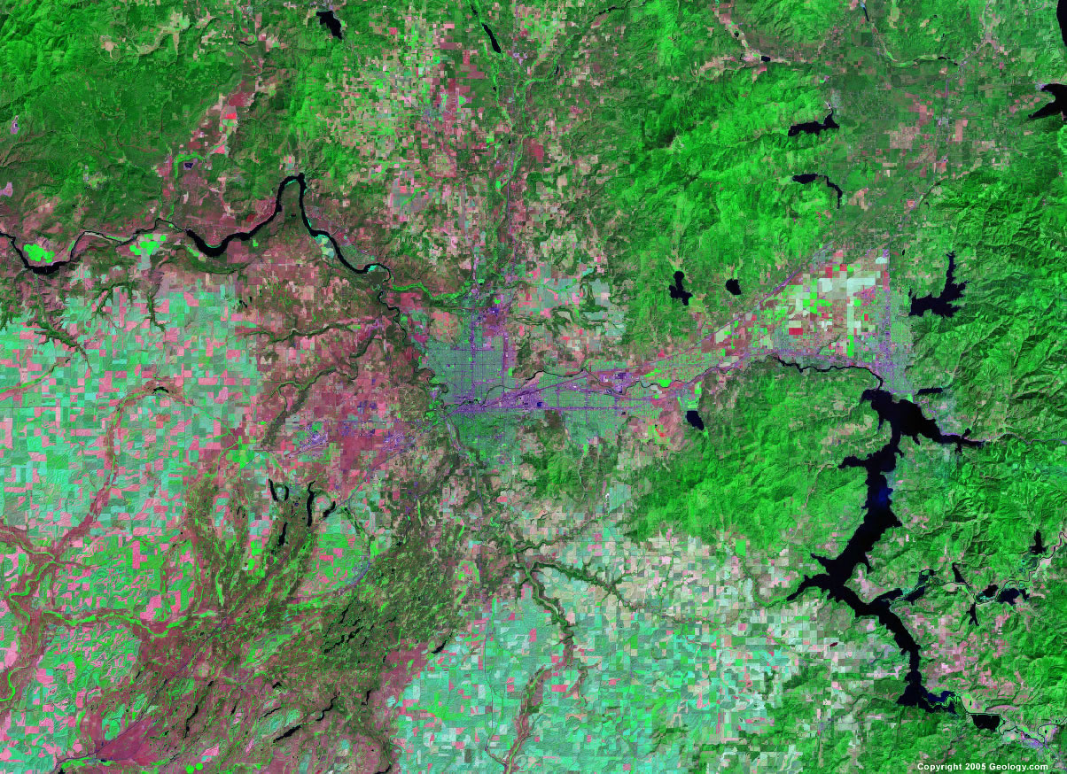
Topeka, KS
|
Tucson, AZ
|
Tulsa, OK
|
Virginia Beach, VA
|
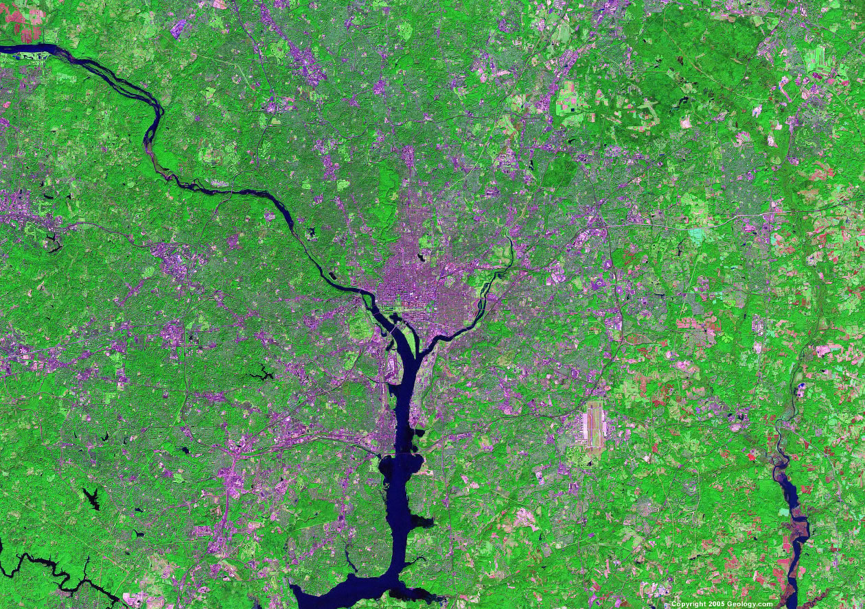
Washington, D.C.
|
Wichita, KS
|
Worcester, MA
|
Yonkers, NY
|
| Copyright information: The satellite images on this page were composed by Angela King and are copyright by Geology.com. If you want to share these images with others, please link to this page. Use of any geology.com image without written permission is prohibited.
|
|