Home » Satellite Images

Satellite Images of Countries, States, U.S. Cities and World Cities


Google Earth Free Download
Google Earth
Free Google Earth software allows you to browse seamless worldwide satellite images. Free.

Satellite, Low Altitude & Topos
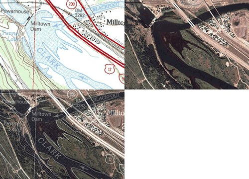
Aerial photos and topo maps
Custom-Printed Images centered almost anywhere in the U.S.A. Printed and shipped to your door - promptly.

World at Night
World at Night Satellite Image
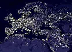
Satellite Image of Earth at Night: A famous image by NASA/NOAA that shows night lights and patterns of economic activity.

Artificial Islands of Dubai
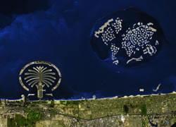
The Artificial Islands of Dubai: There are hundreds of man-made islands in the Persian Gulf. View the Palm Jumeirah and others from space.

Phytoplankton Blooms
Phytoplankton Bloom satellite image
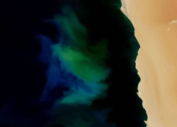
Phytoplankton Blooms from Space: Satellite images of phytoplankton blooms from around the world.

US State Satellite Images
State satellite images
Satellite Images of US States: See how spectacular your state looks in an image made from NASA Landsat GeoCover data.

US City Satellite Images
US city satellite images
Satellite Images of US Cities: We have selected and scaled 120 cities to show the city and its surrounding environment.

World City Satellite Images
World city satellite images
Satellite Images of World Cities: We have selected and scaled 64 cities to show the city and its surrounding environment.

Oil Fields from Space
Oil from Space at Night: These night views of Earth from the Suomi satellite show oil field illumination and natural gas flaring.

Land Below Sea Level
Land below sea level
Land Below Sea Level: Here is information on the top ten land areas that sit below current sea level.

Aurora Australis
Aurora Australis
Aurora Australis, also known as the "Southern Lights". See what it looks like from Earth and from space.

Country Satellite Images
Country satellite images
Satellite Images of World Countries: Satellite images for over 170 countries composed from Landsat GeoCover data.

Selenga Delta Satellite View
Selenga Delta Satellite Image
The Selenga Delta is on the southeastern shoreline of Lake Baikal, the world's deepest and largest lake.


Copyright information: Data used to produce the Landsat images above was provided by NASA's Earth Science Enterprise Scientific Data Purchase Program and produced, under NASA contract, by Earth Satellite Corporation. Thank you to those agencies for use of the data. The Landsat images above were composed by Angela King and are property of Geology.com. Use of any Geology.com image without written permission is prohibited.