Home » Satellite Images » US States » Missouri
Satellite Image of Missouri
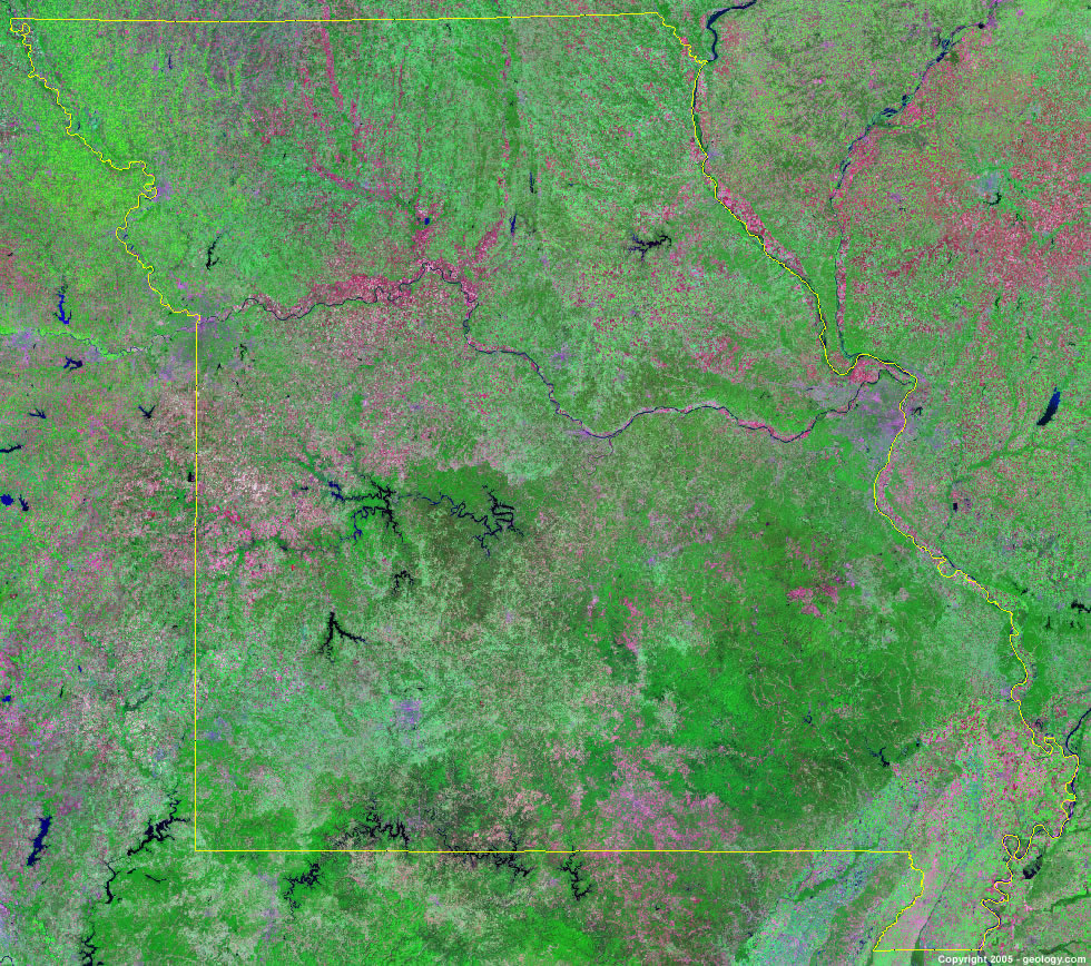
Missouri Satellite Image - View Cities, Rivers, Lakes & Environment
Satellite Images for Neighboring States:
Arkansas Illinois Iowa Kansas Kentucky Nebraska Oklahoma TennesseeThis is a Landsat GeoCover 2000 satellite image map of Missouri. Cities, rivers, lakes, mountains and other features shown in this image include:
Missouri Cities:
Branson, MO
Cape Girardeau, MO
Columbia, MO
Jefferson City, MO
Joplin, MO
Kansas City, MO
Lees Summit, MO
Springfield, MO
St. Joseph, MO
St. Louis, MO
Missouri Rivers, Lakes, Water Features:
Bull Shoals Lake
Clearwater Lake
Harry S. Truman Reservoir
Lake Jacomo
Lake of the Ozarks
Lake Wappapello
Long Beach Lake
Longview Lake
Mark Twain Lake
Mississippi River
Missouri River
Osage River
Smithville Lake
Stocton Lake
Swan Lake
Table Rock Lake
Thomas Hill Reservoir
Wappapelio Lake
Other Prominent Missouri Features:
Missouri farm land
Ozark Plateau
ADVERTISEMENT
More Satellite Images
 State Satellite Images: Color Landsat views of all 50 states. Spectacular images.
 Use Google Earth for FREE: Browse seamless worldwide satellite images. Free.
 Earth from Space at Night: Composite images show worldwide patterns of night light and heat.
 Oil & Gas Fields from Space at Night: Drill pad lighting and flaring make them stand out at night.
 Country Satellite Images: Satellite images for over 170 countries from Landsat GeoCover data.
  Satellite Views of US Cities: Images of 120 cities and their surrounding environment.
 Land Below Sea Level: The top ten locations where land is below the level of the ocean.
  Satellite Views of 64 World Cities: Spectacular images showing the city and surrounding environment.
Copyright information: The images on this page were composed by Angela King and are copyright by Geology.com. These images are not available for use beyond our websites. If you would like to share them with others, please link to this page. The satellite image was produced using Landsat data from NASA.