Home » World Maps » Australia » New Zealand
New Zealand Map and Satellite Image
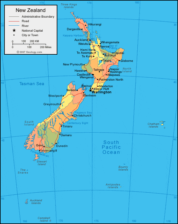
| New Zealand is an archipelago of hundreds of islands, located southeast of Australia. New Zealand is bordered by the South Pacific Ocean and the Tasman Sea. |
ADVERTISEMENT
New Zealand Neighboring Countries and Island Groups:
Australia, New Caledonia, Vanuatu, Fiji, TongaRegional Maps:
Antarctica, World Map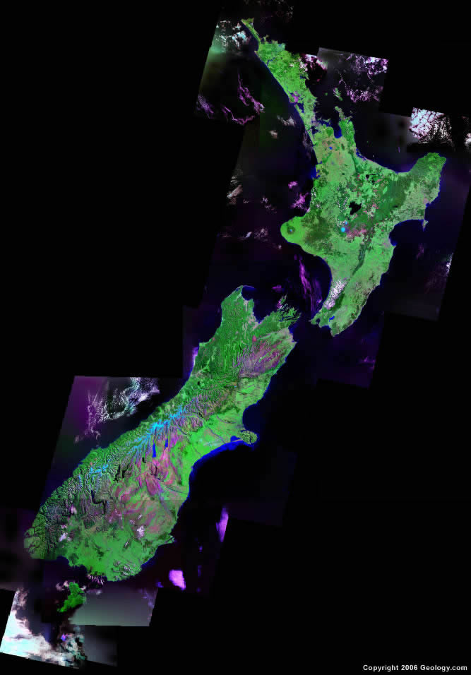
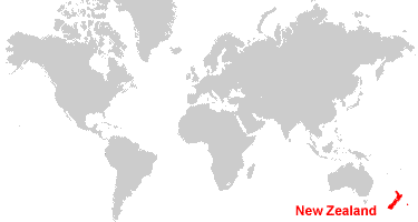
Where is New Zealand?

Explore New Zealand Using Google Earth:
Google Earth is a free program from Google that allows you to explore satellite images showing the cities and landscapes of New Zealand and all of Australia in fantastic detail. It works on your desktop computer, tablet, or mobile phone. The images in many areas are detailed enough that you can see houses, vehicles and even people on a city street. Google Earth is free and easy-to-use.
New Zealand on a World Wall Map:
New Zealand is one of nearly 200 countries illustrated on our Blue Ocean Laminated Map of the World. This map shows a combination of political and physical features. It includes country boundaries, major cities, major mountains in shaded relief, ocean depth in blue color gradient, along with many other features. This is a great map for students, schools, offices and anywhere that a nice map of the world is needed for education, display or decor.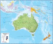
New Zealand On a Large Wall Map of Australia:
If you are interested in New Zealand and the geography of Australia our large laminated map of Australia might be just what you need. It is a large political map of Australia that also shows many of the continent's physical features in color or shaded relief. Major lakes, rivers, cities, roads, country boundaries, coastlines and surrounding islands are all shown on the map.ADVERTISEMENT
New Zealand Cities:
Auckland, Blenheim, Castlecliff, Christchurch, Dargaville, Dunedin, Gisborne, Gore, Greymouth, Hamilton, Hastings, Hawera, Hikurangi, Invercargill, Masterton, Napier, Nelson, New Plymouth, Oamaru, Opotiki, Paeroa, Palmerston North, Porirua, Rotorua, Taihape, Taupo, Tauranga, Te Awamutu, Te Kuiti, Timaru, Upper Hutt, Waipawa, Waiuku, Wanganui, Wellington, Westport, Whangamata and Whangarei.New Zealand Locations:
Antipodes Islands, Auckland Islands, Bay of Plenty, Bounty Islands, Campbell Island, Canterbury Bight, Chatham Islands, Cook Strait, Foveaux Strait, Hauraki Bay, Indian Ocean, Kaipara Harbour, Pegasus Bay, South Pacific Ocean, Stewart Island, Tasman Sea, The Snares and Three Kings Islands.New Zealand Natural Resources:
The fuel resources for New Zealand include natural gas, coal and hydropower. Other commercial resources include gold, iron ore, limestone, sand and timber.New Zealand Natural Hazards:
Earthquakes are common in New Zealand, although usually not severe. There are also occurrences of volcanic activity in this country.New Zealand Environmental Issues:
The environmental issues in New Zealand are mainly land related. These include deforestation and soil erosion. In addition, the country's native flora and fauna have been hard-hit by invasive species.
ADVERTISEMENT