Home » World Maps » Africa » Western Sahara
Western Sahara Map and Satellite Image
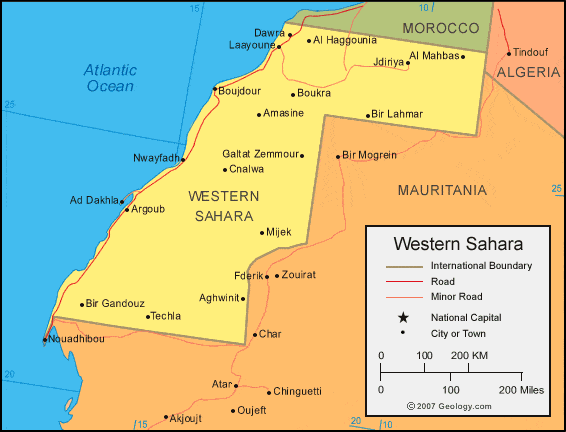
| Western Sahara is located in northern Africa. Western Sahara is bordered by the Atlantic Ocean, Morocco to the north, Algeria to the east, and Mauritania to the south and east. |
ADVERTISEMENT
Western Sahara Neighboring Countries:
Algeria, Mauritania, Morocco, Spain (Canary Islands)Regional Maps:
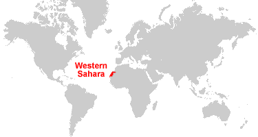
Map of Africa, World MapWhere is Western Sahara?
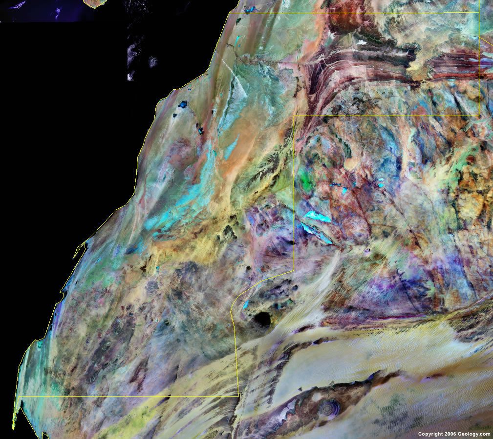
Western Sahara Satellite Image
ADVERTISEMENT

Explore Western Sahara Using Google Earth:
Google Earth is a free program from Google that allows you to explore satellite images showing the cities and landscapes of Western Sahara and all of Africa in fantastic detail. It works on your desktop computer, tablet, or mobile phone. The images in many areas are detailed enough that you can see houses, vehicles and even people on a city street. Google Earth is free and easy-to-use.
Western Sahara on a World Wall Map:
Western Sahara is included on our Blue Ocean Laminated Map of the World. This map shows a combination of political and physical features. It includes country boundaries, major cities, major mountains in shaded relief, ocean depth in blue color gradient, along with many other features. This is a great map for students, schools, offices and anywhere that a nice map of the world is needed for education, display or decor.
Western Sahara On a Large Wall Map of Africa:
If you are interested in Western Sahara and the geography of Africa, our large laminated map of Africa might be just what you need. It is a large political map of Africa that also shows many of the continent's physical features in color or shaded relief. Major lakes, rivers, cities, roads, country boundaries, coastlines, and surrounding islands are all shown on the map.Western Sahara Cities:
Ad Dakhla, Aghwinit, Al Haggounia, Al Mahbas, Amasine, Argoub, Awfist, Bir Gandouz, Bir Lahmar, Boujdour, Boukra, Cnalwa, Dawra, Galtat Zemmour, Jdiriya, Laayoune, Lamjaybir, Lemsid, Mijek, Nwayfadh, Skaymat, Tamayya and Techia.Western Sahara Locations:
Atlantic Ocean.Western Sahara Natural Resources:
Western Sahara has natural resources which include phosphates and iron ore.Western Sahara Natural Hazards:
In Western Sahara, the widespread harmattan haze exists 60% of the time, often causing a severe restriction of visibility. The country experiences other natural hazards including the hot, dry, dust/sand-laden sirocco wind, which can occur during winter and spring months.Western Sahara Environmental Issues:
Environmental issues for Western Sahara include the lack of arable land and sparse water.
ADVERTISEMENT