Home » Plate Tectonics
Plate Tectonics
Plate Tectonics Articles, Theory, Plate Diagrams, Maps, Teaching Ideas
What is Plate Tectonics? |
Plate Tectonics Animation |
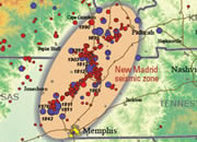
California EQ Maps
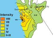
California Earthquake Maps A collection of isoseismal maps for earthquakes in California.
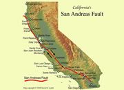
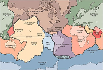
Plate Tectonics Map
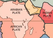
Plate Tectonics Map of the world, showing plates, boundaries, boundary types and more.

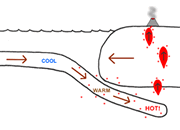
Hawaiian Hot Spot
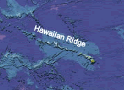
How did the Hawaiian Islands Form? The power of a moving plate over a stationary hot spot.
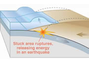
The Largest Earthquake
The Largest Earthquake ever recorded was a 9.5 magnitude event in 1960 in Chile
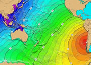
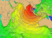
Pacific Tsunamis
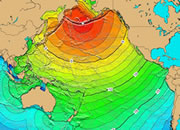
Pacific Tsunamis This ocean is surrounded by plate boundaries, that can produce tsunamis.
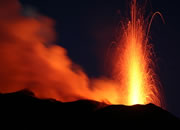
Lo'ihi Seamount
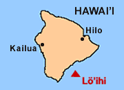
The Next Hawaiian Island could be growing in the Pacific Ocean right now. Its name is Lo'ihi.
Geology Tools

Geology Tools - Rock hammers, field bags, hand lenses, maps, hardness picks, gold pans.