Home » World Maps » World Map of Cities at Night
World Map of Cities at Night
| Click on the map for a more detailed view of the region! |
ADVERTISEMENT

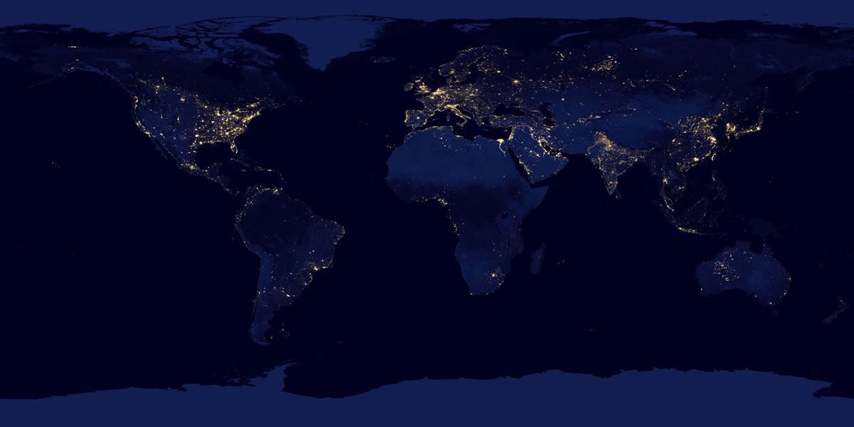
World Map of Cities at Night
Shown above
In 2011 NASA launched the Suomi National Polar-Orbiting Partnership Satellite. It orbits the Earth and has sensors that collect observations about Earth's atmosphere and surface during nighttime hours. NASA scientists used data from the satellite to produce this "World Map of Cities at Night". Each white dot on the map represents the light of a city, a fire, a ship at sea, an oil well flare, or other light source. It is one of the most interesting world maps ever made. If you would like to see the world map above in much greater detail, we have a better world map at more than twice the resolution. We also have views that show the United States, Europe and Africa, South America, Asia and Australia.
This world map is detailed enough that you can see a lot more than cities. In the eastern United States, you can see major highways connecting cities and drilling activity illumination in the major oil and gas plays. Much of Africa is dark, but you can see night lights outlining the length of the Lower Nile of Egypt and drilling activity off the coast of Nigeria. In Europe you can see cities outlining the coast of the Black Sea and a few oil drilling platforms in the North Sea. In South America, you can see how much of the population lives along the coast and the concentration of population around Rio de Janeiro, the largest city in Brazil. In Asia you can see the spectacular population centers in China, Japan, India, and Indonesia. In Australia, don't be fooled into thinking that the western part of the continent is heavily populated. Those are agricultural fires in the outback.
Buy a World Wall Map

This is a large 38" by 51" wall map with vibrant colors and good detail.
Click here for more wall maps!
Use Google Earth Free
 Google Earth is a free download that you can use to view close-up satellite images of Earth on your desktop computer or mobile phone.Get Google Earth.
Clickable World Map
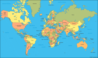
If you are looking for a world map or a map that you can click to see individual countries, this is the map that you are looking for.
Satellite Image Maps of U.S. States
 View each of the 50 U.S. states in a large satellite image from the LandSat Satellite. View States.
CIA Political Map of the World

Political maps of the world prepared by the United States Central Intelligence Agency.
CIA Time Zone Map of the World
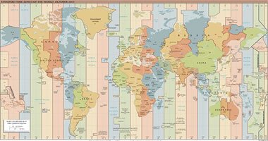 The United States Central Intelligence Agency standard time zone map of the world in .pdf format. Easy-to-read. Get the CIA World Time Zone Map.
World Country Outline Maps
 Zoomable .pdf maps of the world showing the outlines of major countries. Get a world outline map.
ADVERTISEMENT