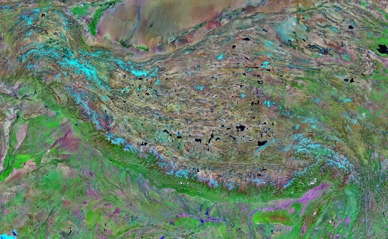
Himalaya Satellite Image Map
This is a Landsat GeoCover 2000 satellite image map of the Himalaya mountain range - the longest and tallest mountain range on Earth. The Himalayas form a 1500-mile arc through northeastern Pakistan, northern India, southern Tibet, Nepal, Sikkim, and Bhutan. To the north is the high plateau of central Asia and to the south are the plains of central India. The Himalaya Mountain Range has nine of Earth's fourteen peaks over 8,000 meters high. The highest peak is Mount Everest at 8,850 m.
Click here to view the full-size satellite image.
|


ADVERTISEMENT
| Copyright information: The satellite image on this page was composed by Angela King and is copyright by Geology.com. If you would like to share it with others, please link to this page. It is not available for use beyond our website. The image was created using data provided by the U.S. Census Bureau and NASA. Use of any Geology.com image without written permission is prohibited. |
| More Earth Extremes |
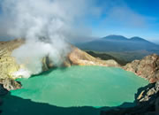 |
The World*s Largest Highly Acidic Lake |
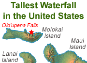 |
The Tallest Waterfall in the U.S. |
 |
The Most Explosive Eruption |
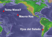 |
Largest Volcano - |
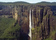 |
Angel Falls |
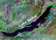 |
Deepest Lake in the World |
 |
Bathyscaphe Trieste |
 |
World Record Lightning |

Find Other Topics on Geology.com:

|

| ||

|

| ||

|

| ||

|

|